Chattahoochee River Access
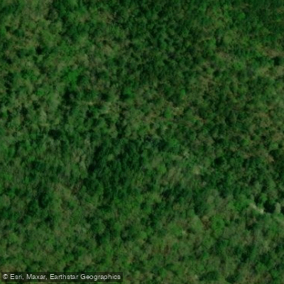
Chattahoochee River Access
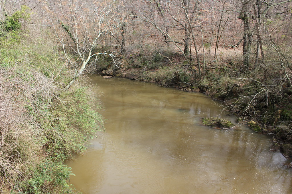
This access point serves the Upper Chattahoochee River Blue Trail, a 39-mile paddling corridor in the Blue Ridge foothills with six distinct sections ranging from Class I flatwater to Class II-III whitewater.
Multiple public access points are available at road crossings and state parks (Buck Shoals, Mossy Creek, and others), with Wildwood Outfitters providing services on Duncan Bridge Road.
Paddlers should note that only designated road crossings and parks offer legal public access, and experience is recommended for the more challenging whitewater sections.
Nearby points of interest
Find excellent fishing spots, easy access to boat ramps, and all the amenities you need for a memorable day. Your adventure starts here.
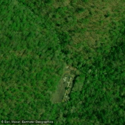
Anna Ruby Falls access
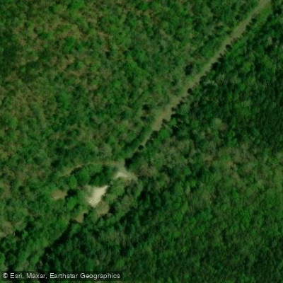
Anna Ruby Falls Road Access
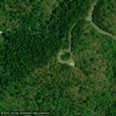
Duke Creek Falls Recreation Area - Chattahoochee-Oconee National Forest
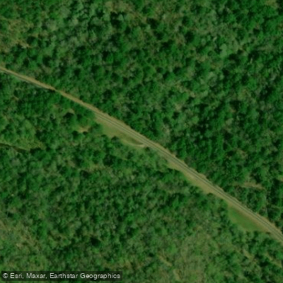
Nottely River Access
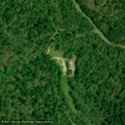
Raven Cliffs Trailhead - Chattahoochee-Oconee National Forest
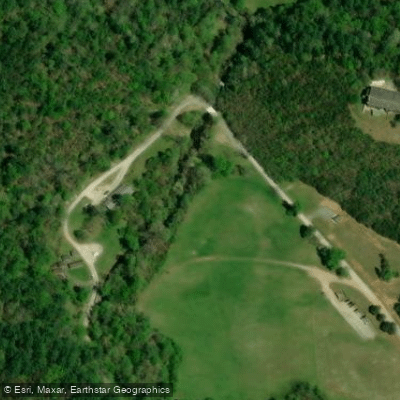
Smith Creek Access
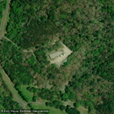
Smithgall Woods State Park creek access
Spoilcane Creek Access
Unicoi State Park access
Unicoi State Park access
Water and weather conditions (10 day forecast)
Check the forecast at Chattahoochee River Access before you go fishing.
No forecast data available.
Fishing near Chattahoochee River Access
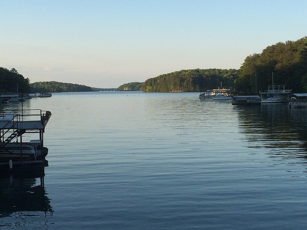
Lake Sidney Lanier
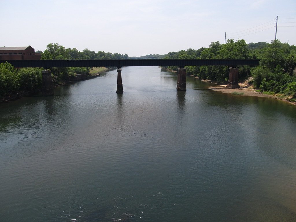
Chattahoochee River
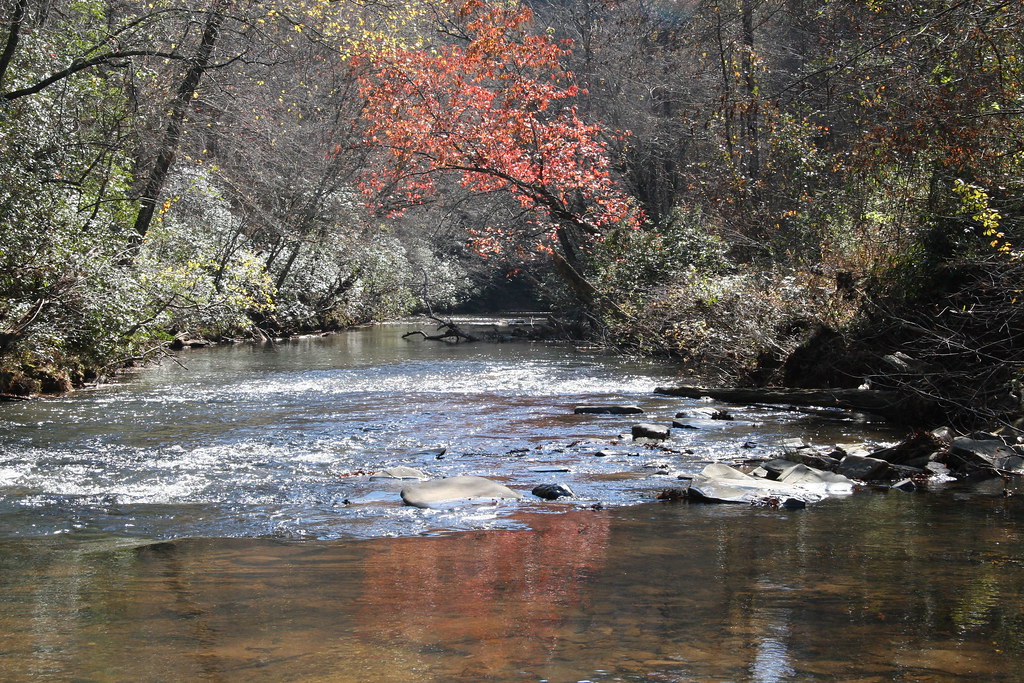
Etowah River
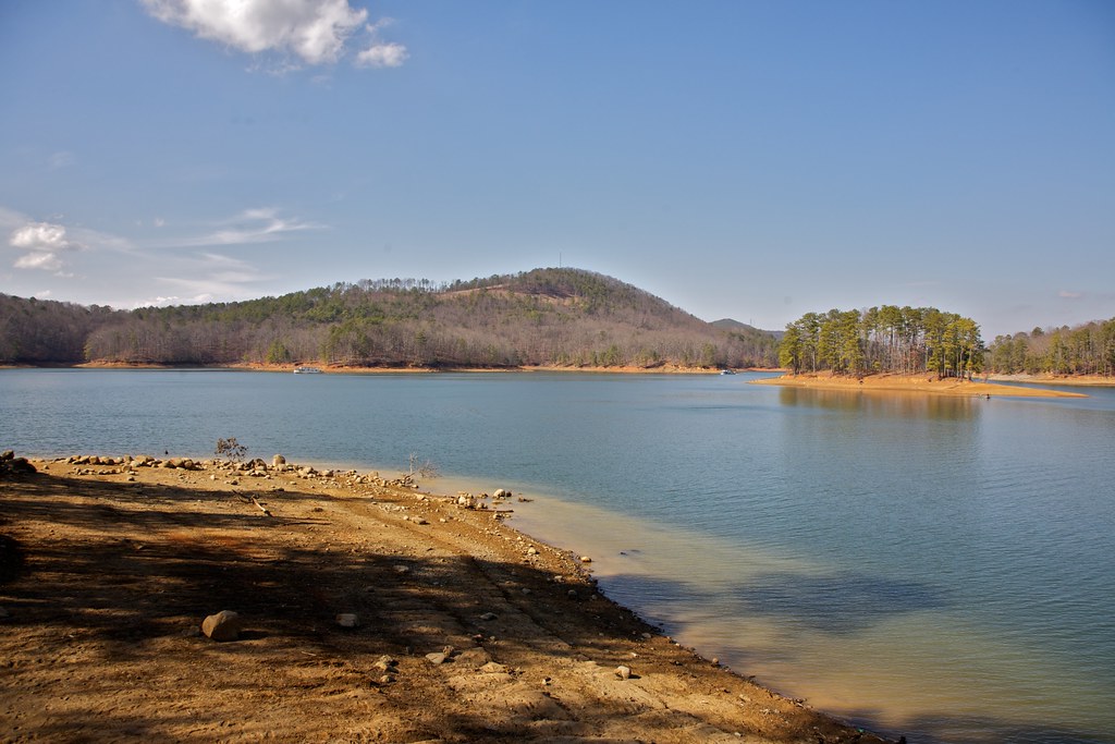
Allatoona Lake
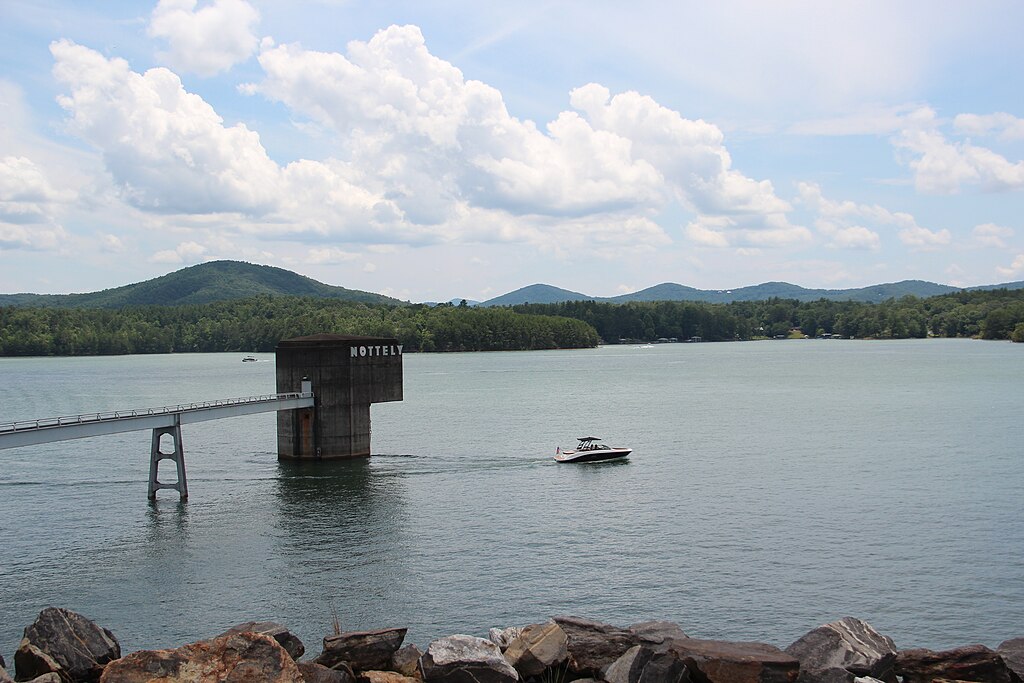
Nottely Lake
Oconee River
Toccoa River
Nottely River
Cooper Creek

Little Tennessee River
Georgia licenses and regulations
Explore Georgia waters
Top fishing waters
No waters available right now.
Popular Cities
Loading popular cities...
Explore near Chattahoochee River Access
Nearby spots
- Chattahoochee River
- Anna Ruby Falls access
- Anna Ruby Falls Road Access
- Duke Creek Falls Recreation Area - Chattahoochee-Oconee National Forest
- Nottely River Access
- Raven Cliffs Trailhead - Chattahoochee-Oconee National Forest
- Smith Creek Access
- Smithgall Woods State Park creek access
- Spoilcane Creek Access
- Unicoi State Park access
- Unicoi Trail access
- Andrews Cove Campsite
- All 21 nearby spots
Nearby waters
More in Georgia

Smarter Fishing Starts in the App.
onWater Fish gives you everything you need to plan smarter, fish better, and own every trip from first cast to last.