Harbor View
- Saltwater
- Harbor
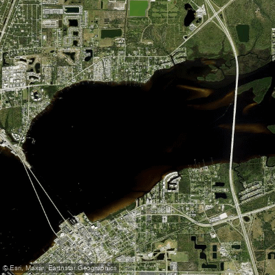
Harbor View
- Saltwater
- Harbor
- Sq. miles
- 4.1
- Boat Ramps
- 3
- Access Points
- 0
- Species
- 21
Harbor View is a premier saltwater fishing destination situated on the banks of the Peace River in Port Charlotte, Florida, within the expansive Charlotte Harbor estuary system. This location offers a diverse mix of inshore and nearshore angling opportunities, from protected mangrove shorelines and expansive grass flats to deeper channels and nearshore reefs. The area is a hub for both shore-based anglers, with numerous piers and a private community beach, and boaters accessing the rich waters of Charlotte Harbor and the Gulf of Mexico.
Species & education
Learn what type of fish are at Harbor View and what's needed to catch them.

Find which waters have the species you want to catch

Atlantic Croaker
Micropogonias undulatus

Atlantic Spadefish
Chaetodipterus faber

Black Drum
Pogonias cromis

Black Grouper
Mycteroperca bonaci

Gag Grouper
Mycteroperca microlepis

Gulf Flounder
Paralichthys albigutta

King Mackerel
Scomberomorus cavalla

Ladyfish
Elops saurus

Lane Snapper
Lutjanus synagris

Mangrove Snapper
Lutjanus griseus

Pigfish
Orthopristis chrysoptera

Pinfish
Lagodon rhomboides

Red Grouper
Epinephelus morio

Redfish
Sciaenops ocellatus

Sheepshead
Archosargus probatocephalus

Snook
Centropomus undecimalis

Southern Kingfish
Menticirrhus americanus

Spanish Mackerel
Scomberomorus maculatus

Spotted Seatrout
Cynoscion nebulosus

Tarpon
Megalops atlanticus

Tripletail
Lobotes surinamensis
Fishing spots, boat ramps & amenities
Learn how to get on Harbor View. Uncover great fishing access points, boat ramps, and all the facilities you need for an unforgettable day on the water. Some locations shown may border or include private property. Always check property boundaries and applicable regulations before visiting. onWater's Public & Private Land layer can help you plan your access with confidence.
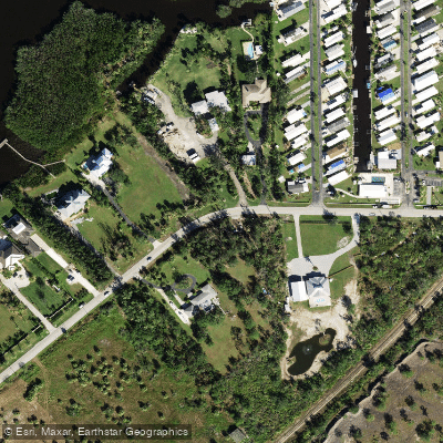
Know where you can legally fish on Harbor View
See public and private land boundaries along the water, turn on private parcels with owner details to know where permission is required, and find land-trust parcels that offer permitted fishing access.
Florida licenses and regulations

Florida Boating Regulations
When using any type of watercraft to access a body of water, it is important to follow all federal, state, and local rules and regulations. These rules and regulations include boat permitting and licensing, invasive species inspections and stamps, life jacket and PFD rules, motor size and horsepower restrictions, noise limitations, restrictions on personal watercraft, and many more. Visit the web link below for the most current rules and regulations for this body of water.

Florida Coastal & Inland Waters
Florida state waters extend 3 nautical miles from shore on the Atlantic coast and 9 nautical miles on the Gulf coast, making Florida unique in that the boundary shifts by coast. FWC regulations apply throughout state waters, and a saltwater fishing license is required to fish anywhere in them. Beyond those limits, federal waters begin and federal rules take over.

Florida Federal Waters & Offshore Rules
Once you pass the state water boundary, NOAA Fisheries and the regional fishery management councils, including the Gulf Council and the South Atlantic Fishery Management Council, set the rules. No separate federal recreational license is required to fish federal waters, but anglers must follow all applicable federal regulations alongside any state license already held. Species such as tuna, billfish, sharks, and swordfish are managed as Atlantic highly migratory species under NOAA Fisheries, which may carry additional federal permit requirements.

Florida Saltwater Fishing License
Florida residents and non-residents ages 16 through 64 need a saltwater fishing license to take or attempt to take saltwater fish, crabs, clams, or other saltwater organisms. The Florida Fish and Wildlife Conservation Commission issues the license, and it is required whether you fish in state or federal waters as long as you land fish in Florida. Exemptions include anglers under 16, Florida residents 65 and older, and passengers on for-hire vessels whose captain holds a vessel license.

Florida Saltwater Size & Bag Limits
Size and bag limits apply per species and can change throughout the year, and the Florida Fish and Wildlife Conservation Commission sets and maintains the current rules. Popular species with active regulations include snook, redfish, grouper, snapper, and flounder. Always check the FWC regulations page before you head out, since limits and seasons are updated regularly.

Florida Shellfish Closures & Advisories
Harvesting oysters and clams recreationally requires a standard saltwater fishing license, and certain areas such as Apalachicola Bay require an additional permit. Shellfish harvesting areas are opened and closed by the Florida Department of Agriculture and Consumer Services based on water quality, red tide, rainfall, and public health guidelines, and those closures apply to everyone. Current open and closed status maps for all coastal regions are posted by the Florida Department of Agriculture and Consumer Services at their shellfish harvesting area classification page.
Take Harbor View with you
The onWater Fish app keeps this water's access points, species and conditions in your pocket, with the tools you use once you're there.
Use the map without signal
Download the map around Harbor View to use it offline when coverage drops.
Log your catches here
Keep a private fishing journal for Harbor View to find where and when fish are biting for you.
Get the onWater Fish app
Free on iOS and Android
Tides, wind & water conditions (10 day forecast)
On open water, wind and tide matter as much as the weather. See the best times to fish Harbor View and check the marine forecast before you launch.
Loading tide predictions…
Fishing near Harbor View
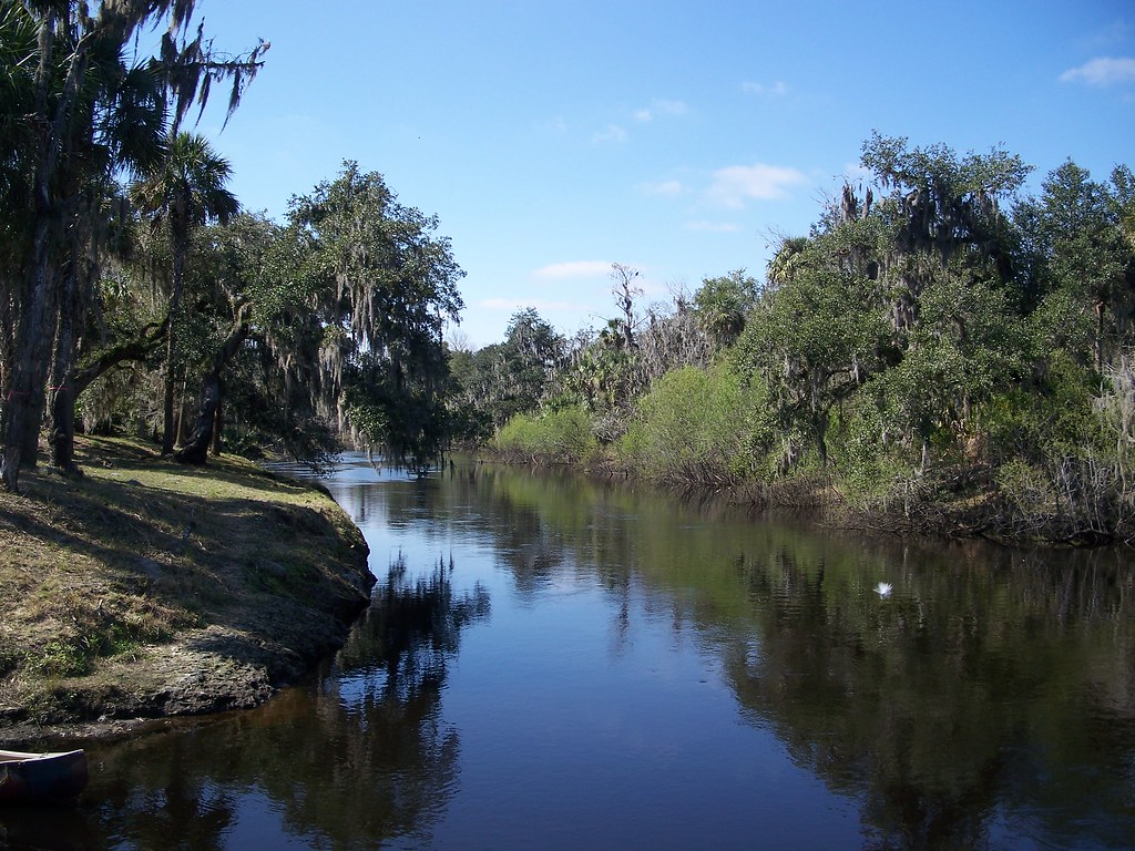
Peace River
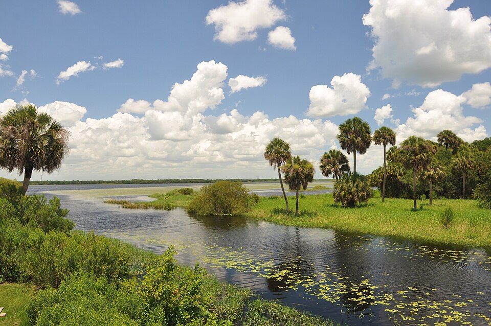
Myakka River
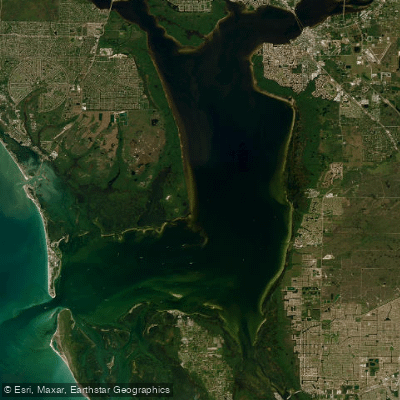
Charlotte Harbor
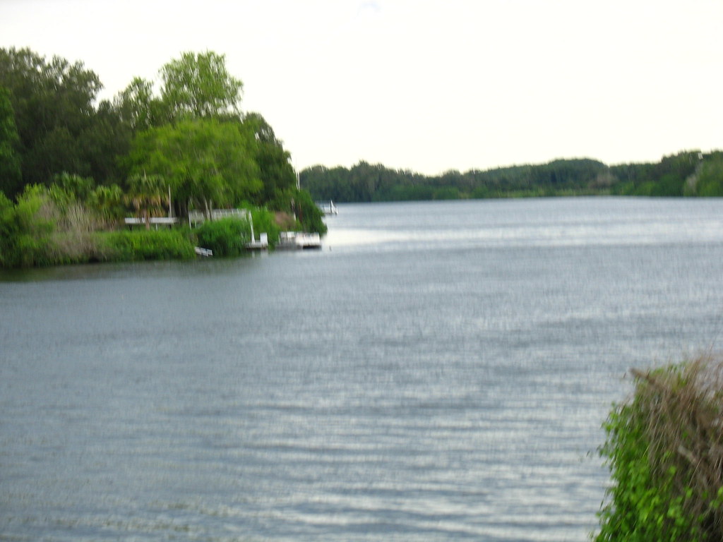
Caloosahatchee River
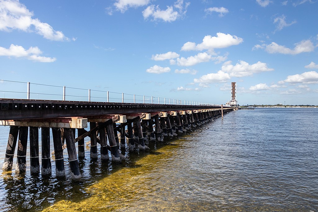
Manatee River
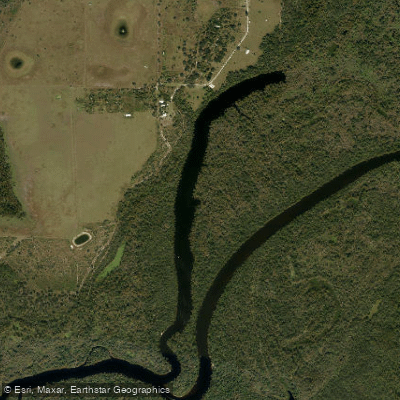
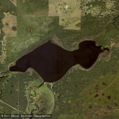
Handcock Lake
Lake Myakka
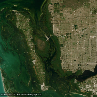
Matlacha Pass
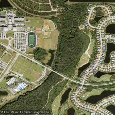
Big Slough
Explore Florida waters
Top fishing waters
Popular Cities
Loading popular cities...
Explore near Harbor View
Fish species
Fishing spots
- Punta Gorda Municipal Marina Boat Ramp
- Punta Gorda Municipal Marina Boat Ramp
- Chester Roberts Park Boat Ramp
- Broad Creek Bridge
- Broad Creek Bridge
- N Fork Alligator Creek Bridge
- N Fork Alligator Crk Bridge
- West Springlake Waterway Bridge
- Shell Creek Bridge
- Shell Crk North Slough Bridge
- Alligator Creek Bridge
- Alligator Creek Bridge
- All 18 spots
Nearby waters
More in Florida

Smarter Fishing Starts in the App.
onWater Fish gives you everything you need to plan smarter, fish better, and own every trip from first cast to last.