East Gill Force (lower)
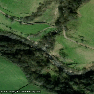
East Gill Force (lower)
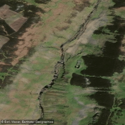
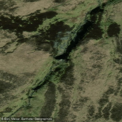
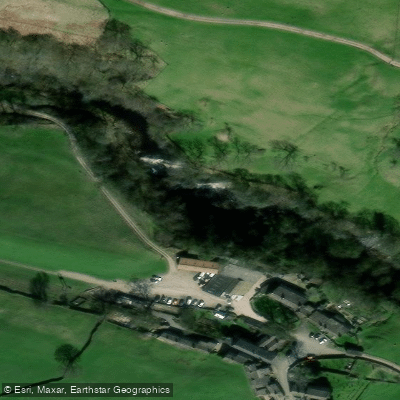
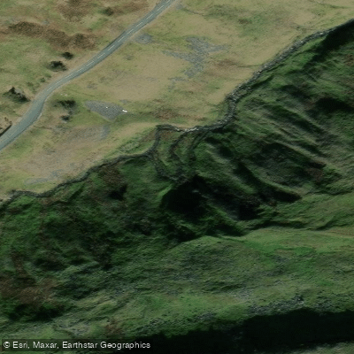
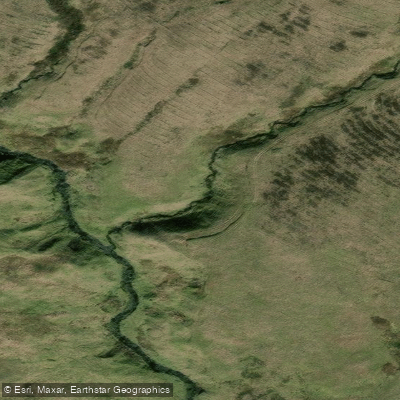
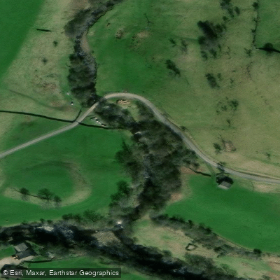
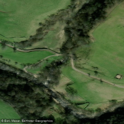
East Gill Force's lower section consists of a series of stepped cascades dropping approximately 9. 8 feet (3 m) as East Gill makes its final descent into the River Swale.
This lower portion contrasts with the upper falls, which feature a single dramatic 15-foot (4. 5 m) plunge, together forming one of four waterfalls clustered around the hamlet of Keld in Swaledale, Yorkshire Dales National Park.
The site sits at the notable intersection of two celebrated long-distance routes, the Pennine Way and the Coast to Coast Walk, roughly 330 yards east of Keld.
Despite its significance as a waypoint for long-distance walkers, the lower cascades also attract families and picnickers drawn by the waterfall's accessible setting near the road and the scenic confluence with the River Swale.
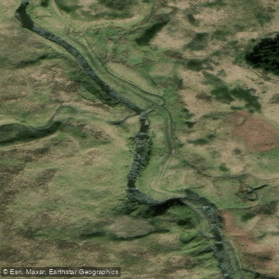
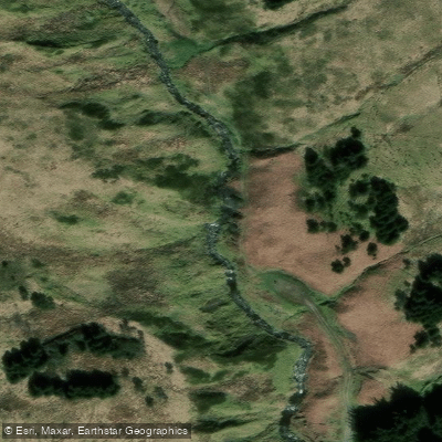
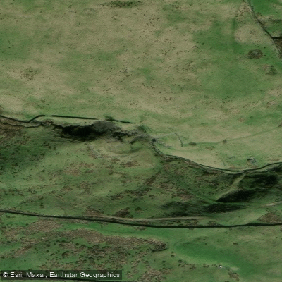
Nearby points of interest
Find excellent fishing spots, easy access to boat ramps, and all the amenities you need for a memorable day. Your adventure starts here.
Water and weather conditions (10 day forecast)
Check the forecast at East Gill Force (lower) before you go fishing.
No forecast data available.
Fishing near East Gill Force (lower)
River Aire
River Calder

HUMBER UPPER
River Wharfe
River Colne
RIBBLE
Crimple Beck

River Dearne

HUMBER MIDDLE
River Roch
England licenses and regulations
Explore England waters
Top fishing waters
No waters available right now.
Popular Cities
Loading popular cities...
Explore near East Gill Force (lower)

Smarter Fishing Starts in the App.
onWater Fish gives you everything you need to plan smarter, fish better, and own every trip from first cast to last.