Peppermint Creek, upper Access
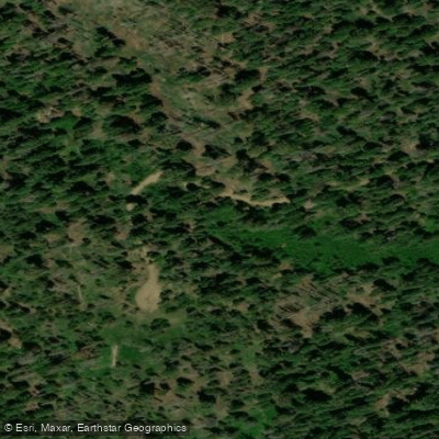
Peppermint Creek, upper Access
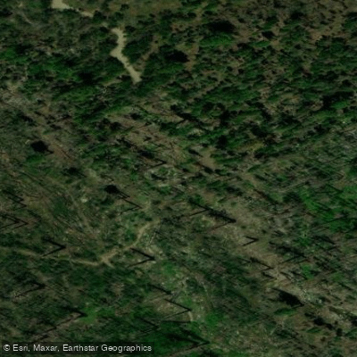
Upper Peppermint is a free, first-come, first-served dispersed camping area at 7,100 feet elevation within Giant Sequoia National Monument, accessible via standard vehicles from Forest Road 21S07.
The site offers spacious campsites near Peppermint Creek with fishing opportunities (check Department of Fish and Wildlife regulations), but has no potable water, picnic tables, or developed amenities—pack in all supplies and practice Leave No Trace principles.
Open June 1–November 15; contact Western Divide Ranger District (559-539-2607) for current conditions and fire regulations.
Nearby points of interest
Find excellent fishing spots, easy access to boat ramps, and all the amenities you need for a memorable day. Your adventure starts here.
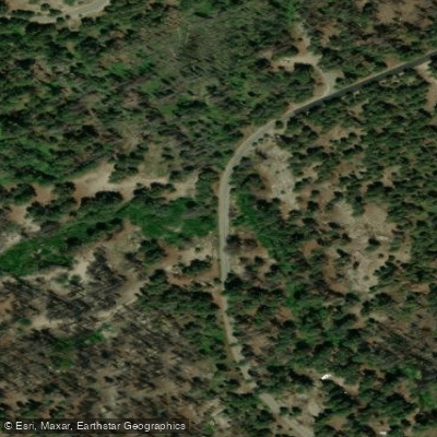
Freeman Creek Access
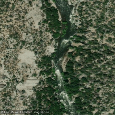
Kern River (Tulare County) Access
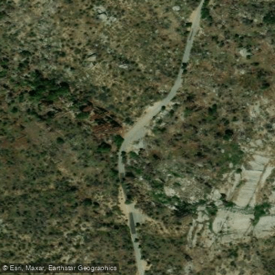
Needlerock Access
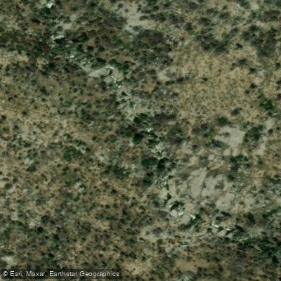
Peppermint Creek Access
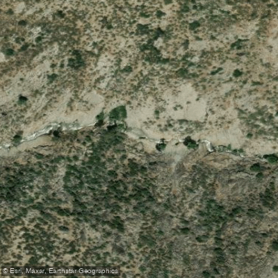
Peppermint Creek, lower Access
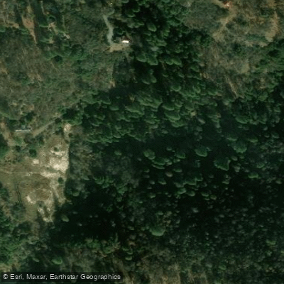
Tule River South Fork, Middle Fork #2 Access
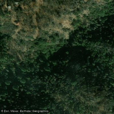
Tule River, South Fork of Middle Fork, S2 Camp Nelson Access
Tule River, South Fork of the Middle Fork, S3 Ceder Slopes Access
Water and weather conditions (10 day forecast)
Check the forecast at Peppermint Creek, upper Access before you go fishing.
No forecast data available.
Fishing near Peppermint Creek, upper Access
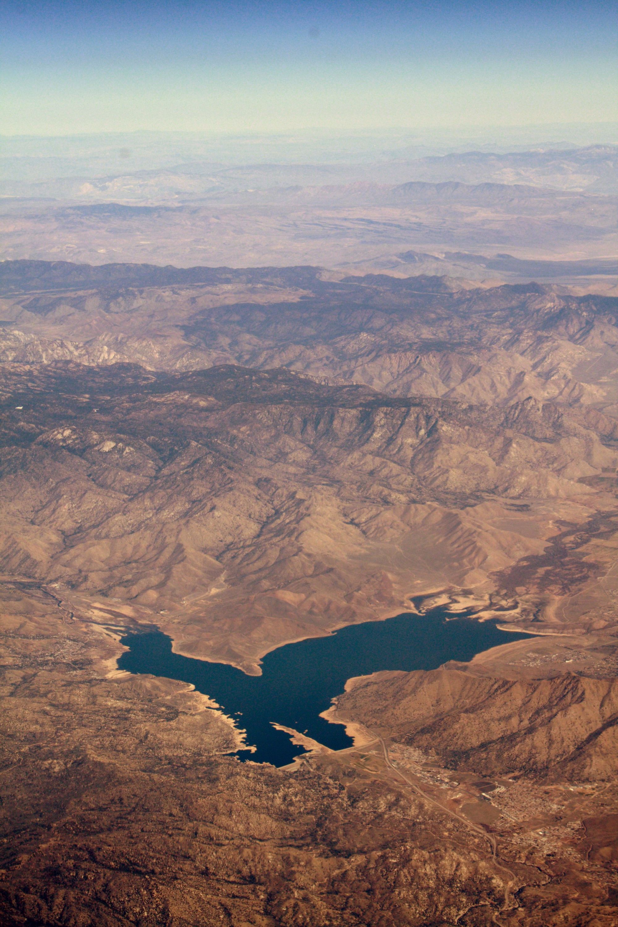
Isabella Lake
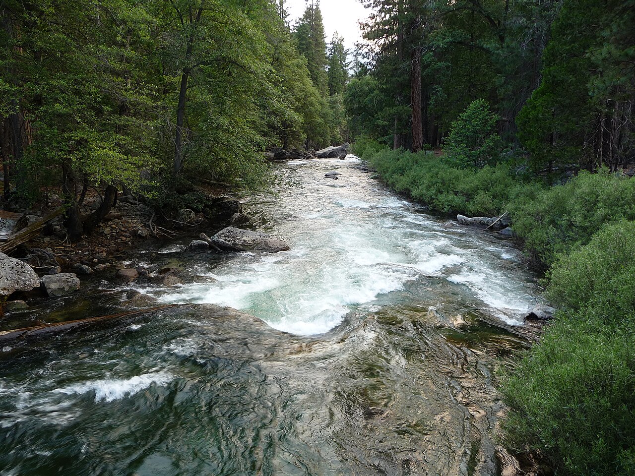
Kings River
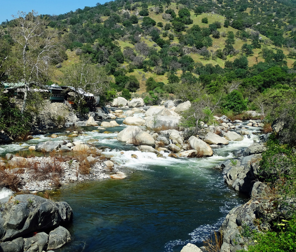
Kaweah River
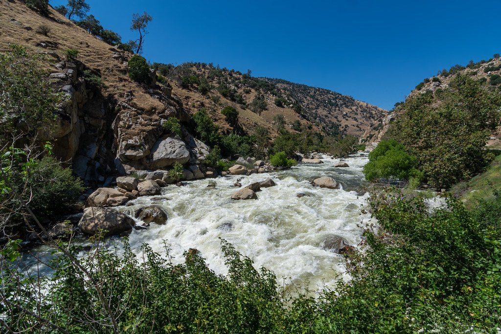
Kern River
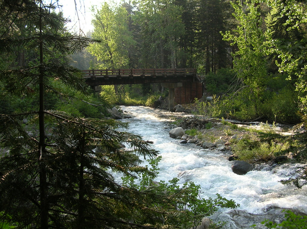
East Fork Kaweah River
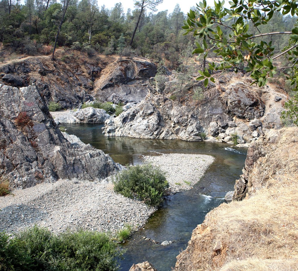
Clear Creek
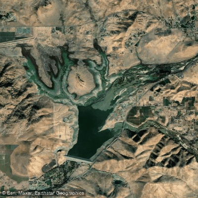
Lake Success
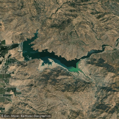
Lake Kaweah
Tule River
Deer Creek
California licenses and regulations
Explore California waters
Top fishing waters
No waters available right now.
Popular Cities
Loading popular cities...
Explore near Peppermint Creek, upper Access
Nearby spots
- Freeman Creek Access
- Kern River (Tulare County) Access
- Needlerock Access
- Peppermint Creek Access
- Peppermint Creek, lower Access
- Tule River South Fork, Middle Fork #2 Access
- Tule River, South Fork of Middle Fork, S2 Camp Nelson Access
- Tule River, South Fork of the Middle Fork, S3 Ceder Slopes Access
- Bean Campground
- Belknap Campground
- Coy Flat Campground
- Dispersed Camping Area 5
- All 18 nearby spots
Nearby waters
More in California

Smarter Fishing Starts in the App.
onWater Fish gives you everything you need to plan smarter, fish better, and own every trip from first cast to last.