Moores Bayou Boat Ramp
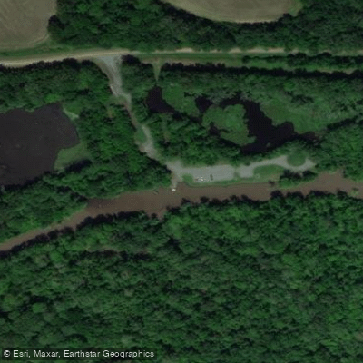
Moores Bayou Boat Ramp
Moores Bayou Boat Ramp provides access to Moore Bayou Recreation Area, a U. S. Army Corps of Engineers facility located nine miles south of Gillett on State Highway 169, offering a boat launch and picnic tables.
The ramp serves as the primary access point for the five-mile Arkansas Post water trail, a cooperative paddling route managed by the Army Corps of Engineers, Arkansas Game and Fish, the National Park Service, and Arkansas Canoe Club.
Note that water hyacinth can impede boat travel during certain seasons; contact the U. S. Army Corps of Engineers at 870-548-2291 for current water conditions before visiting.
Nearby points of interest
Find excellent fishing spots, easy access to boat ramps, and all the amenities you need for a memorable day. Your adventure starts here.
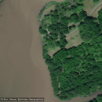
Arkansas Post Park Bank Fishing Area
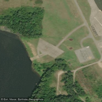
Buzzard Beach Access Parking Area
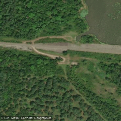
Notrebes Bend Park Access Parking Area
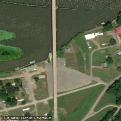
Pendleton Bridge Access Parking Area
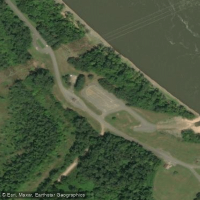
Wilbur D Mills Park Access Parking Area
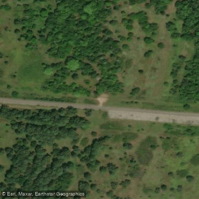
Wilbur Mills Rd Parking Area #4
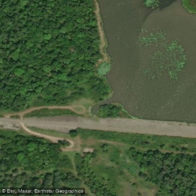
Wilbur Mills Rd Parking Area #5
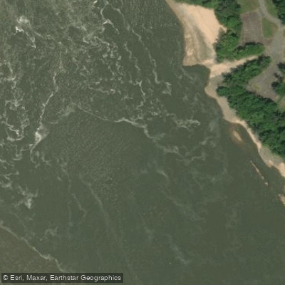
Wilbur Mills Rd Parking Area #6
Water and weather conditions (10 day forecast)
Check the forecast at Moores Bayou Boat Ramp before you go fishing.
No forecast data available.
Fishing near Moores Bayou Boat Ramp
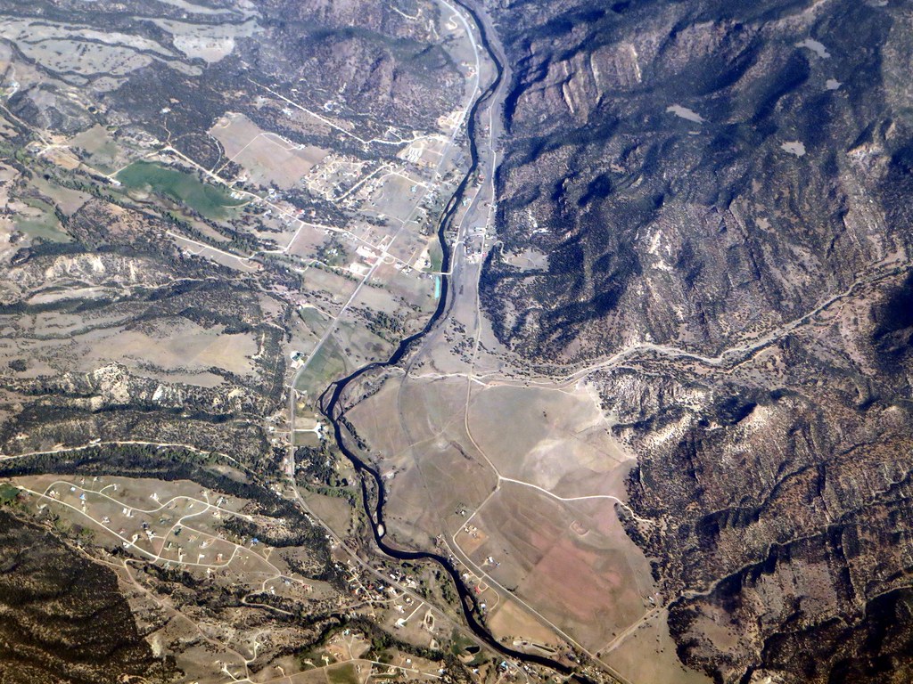
Arkansas River
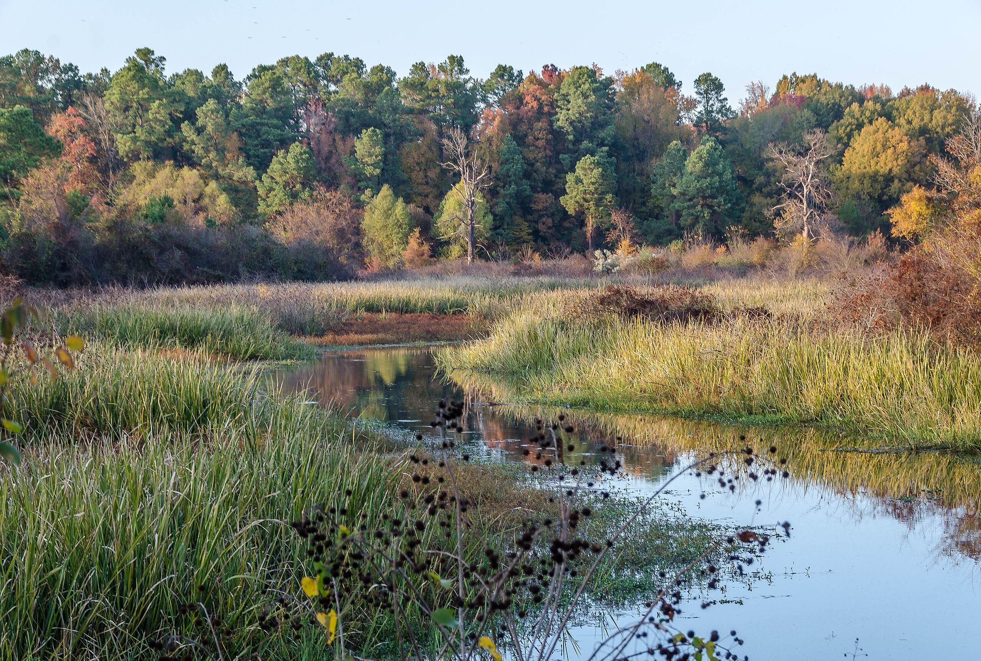
Bayou Bartholomew
Cane Creek Lake
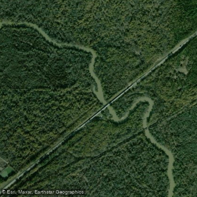
Saline River
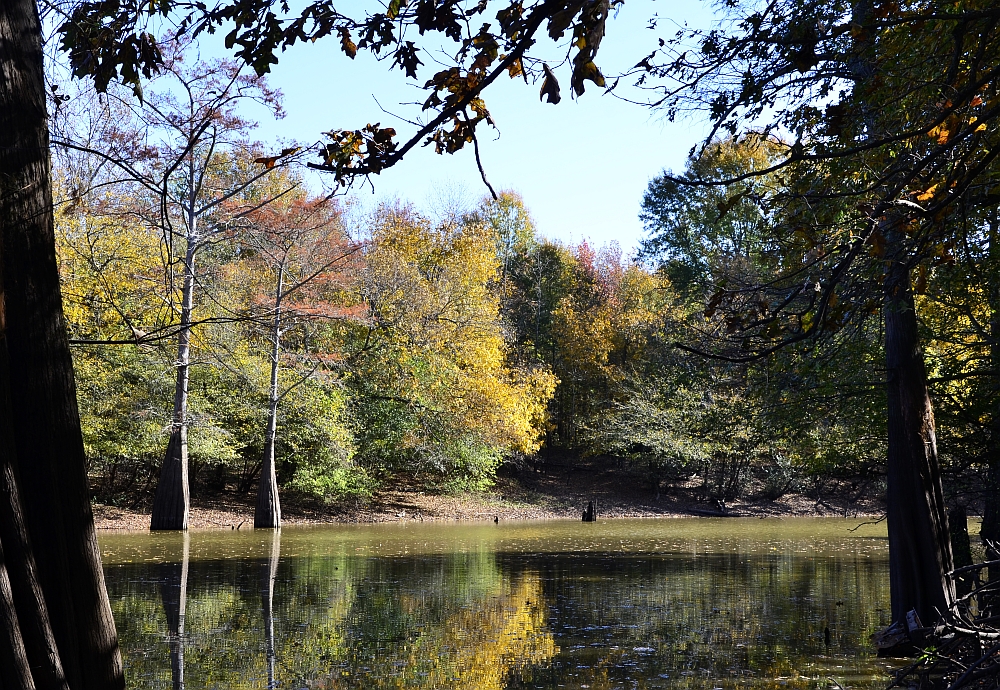
Bayou Meto
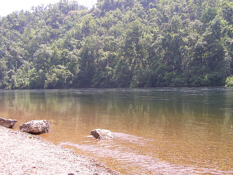
White River
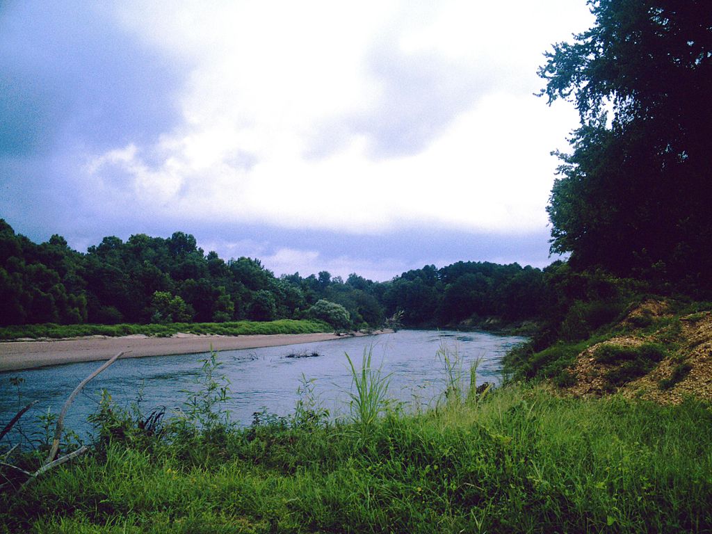
Ouachita River
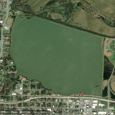
Lake Pine Bluff
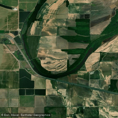
Noble Lake
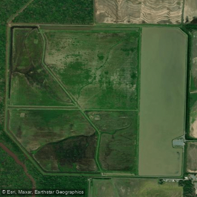
Halowell Reservoir
Arkansas licenses and regulations
Explore Arkansas waters
Top fishing waters
No waters available right now.
Popular Cities
Loading popular cities...
Explore near Moores Bayou Boat Ramp
Nearby spots
- Big Bayou Meto Boat Ramp #2
- Buzzard Beach Boat Ramp
- Coal Pile Spur Levee Boat Ramp
- Highway 165 Bridge Boat Ramp
- Moore Bayou Recreation Area Boat Ramp
- Notrebes Bend Park Boat Ramp
- Pendleton Bend Park Boat Ramp
- Wilbur D. Mills Park Boat Ramp
- Arkansas Post Park Bank Fishing Area
- Buzzard Beach Access Parking Area
- Notrebes Bend Park Access Parking Area
- Pendleton Bridge Access Parking Area
- All 22 nearby spots
Nearby waters
More in Arkansas

Smarter Fishing Starts in the App.
onWater Fish gives you everything you need to plan smarter, fish better, and own every trip from first cast to last.