Perdido Bay
- Saltwater
- Bay
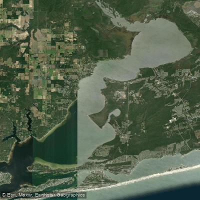
Perdido Bay
- Saltwater
- Bay
- Sq. miles
- 27
- Boat Ramps
- 3
- Access Points
- 0
- Species
- 31
Perdido Bay is a substantial coastal lagoon spanning the Alabama-Florida border, approximately 33 miles long and averaging two to three miles wide. It is a relatively shallow water basin, with most of its area averaging only three to five feet deep, dipping to a maximum depth of around 15 feet. The bay is enclosed by barrier islands and connects to the Gulf of Mexico via the Perdido Pass tidal inlet at its southeastern end. Its waters transition from brackish conditions in the northern reaches, influenced by the Perdido River, to higher salinity in the south near the pass. The bay's ecosystem is diverse, featuring extensive seagrass beds that serve as vital spawning and nursery grounds, alongside forested shorelines in its upper segments. This creates a rich inshore and nearshore fishery accessible by a variety of means, from kayaks to larger boats.
Species & education
Learn what type of fish are at Perdido Bay and what's needed to catch them.

Find which waters have the species you want to catch

Atlantic Croaker
Micropogonias undulatus

Atlantic Sharpnose Shark
Rhizoprionodon terraenovae

Atlantic Spadefish
Chaetodipterus faber

Black Drum
Pogonias cromis

Black Grouper
Mycteroperca bonaci

Blue Runner
Caranx crysos

Bluefish
Pomatomus saltatrix

Bull Shark
Carcharhinus leucas

Cobia
Rachycentron canadum

Crevalle Jack
Caranx hippos

Florida Pompano
Trachinotus carolinus

Great Barracuda
Sphyraena barracuda

Gulf Flounder
Paralichthys albigutta

Ladyfish
Elops saurus

Lane Snapper
Lutjanus synagris

Lookdown
Selene vomer

Mahi-Mahi
Coryphaena hippurus

Mangrove Snapper
Lutjanus griseus

Pigfish
Orthopristis chrysoptera

Pinfish
Lagodon rhomboides

Red Snapper
Lutjanus campechanus

Redfish
Sciaenops ocellatus

Sheepshead
Archosargus probatocephalus

Snook
Centropomus undecimalis

Southern Flounder
Paralichthys lethostigma

Southern Kingfish
Menticirrhus americanus

Spanish Mackerel
Scomberomorus maculatus

Spot
Leiostomus xanthurus

Spotted Seatrout
Cynoscion nebulosus

Vermilion Snapper
Rhomboplites aurorubens

Wahoo
Acanthocybium solandri
Fishing spots, boat ramps & amenities
Learn how to get on Perdido Bay. Uncover great fishing access points, boat ramps, and all the facilities you need for an unforgettable day on the water. Some locations shown may border or include private property. Always check property boundaries and applicable regulations before visiting. onWater's Public & Private Land layer can help you plan your access with confidence.
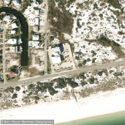
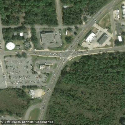
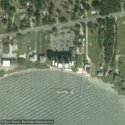
Know where you can legally fish on Perdido Bay
See public and private land boundaries along the water, turn on private parcels with owner details to know where permission is required, and find land-trust parcels that offer permitted fishing access.
Alabama licenses and regulations

Alabama Boating Regulations
When using any type of watercraft to access a body of water, it is important to follow all federal, state, and local rules and regulations. These rules and regulations include boat permitting and licensing, invasive species inspections and stamps, life jacket and PFD rules, motor size and horsepower restrictions, noise limitations, restrictions on personal watercraft, and many more. Visit the web link below for the most current rules and regulations for this body of water.

Alabama Coastal & Inland Waters
Alabama divides its coastal waters from inland waters using a defined saltwater and freshwater license boundary, and a Saltwater Fishing License is required in all areas on the saltwater side of that line. The Alabama Marine Resources Division handles saltwater licensing while the Wildlife and Freshwater Fisheries division covers inland waters. A boundary map is available from the Alabama Department of Conservation and Natural Resources, and you can call either division directly if you have questions about a specific water body.

Alabama Federal Waters & Offshore Rules
Once you move beyond Alabama state waters into federal waters, NOAA Fisheries and the Gulf of America Fishery Management Council set the rules, which can differ significantly from state regulations. Anglers targeting highly migratory species such as tunas and billfish need an Atlantic Highly Migratory Species permit in addition to their state license. Federally permitted for-hire reef fish vessels must follow whichever set of rules, state or federal, is more restrictive when fishing for reef fish in state waters.

Alabama Saltwater Fishing License
A Saltwater Fishing License is required for anyone fishing or possessing fish in saltwater areas of Alabama, and it covers cast netting, flounder gigging, and recreational crab traps too. The Alabama Department of Conservation and Natural Resources issues it, and residents under 16, non-residents under 16, and residents 65 and older are exempt from purchasing one. Residents who are exempt from buying a license, including those 65 and older and lifetime license holders, must still complete the free Saltwater Angler Registration.

Alabama Saltwater Size & Bag Limits
Size and bag limits apply per species and can change throughout the year for Alabama saltwater fishing. The Alabama Marine Resources Division sets these rules, and the current table covering species such as red snapper, flounder, redfish, and cobia lives on the state size and creel limits page. Check that page before every trip, as it is your responsibility to know the rules in effect at the time you fish.

Alabama Shellfish Closures & Advisories
Recreational oyster harvesting in Alabama is managed by the Marine Resources Division, and persons may take a limited daily amount for personal consumption without a license only in areas and during times open to harvest. Harvest areas can be closed due to water quality or other conditions, so you must confirm an area is open before harvesting. Contact the Marine Resources Division offices in Gulf Shores or Dauphin Island for current open and closed area information before you go.
Take Perdido Bay with you
The onWater Fish app keeps this water's access points, species and conditions in your pocket, with the tools you use once you're there.
Use the map without signal
Download the map around Perdido Bay to use it offline when coverage drops.
Log your catches here
Keep a private fishing journal for Perdido Bay to find where and when fish are biting for you.
Get the onWater Fish app
Free on iOS and Android
Tides, wind & water conditions (10 day forecast)
On open water, wind and tide matter as much as the weather. See the best times to fish Perdido Bay and check the marine forecast before you launch.
Loading tide predictions…
Perdido Bay fishing guides
Book a trip with a local fishing guide through Guidesly.

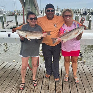
Cliff
Off the Hook Charters
5.0 (9 reviews)
Alabama Gulf Coast Inshore Fishing
Book on Guidesly, opens in new tab
Perry Davis
Off The Hook Charters
5.0 (8 reviews)
Inshore Fishing in the Gulf Coast
Book on Guidesly, opens in new tab
Johnathan Willis
Perdido Key Fishing Charters – II
5.0 (6 reviews)
Experience Thrilling Pensacola Fishing Adventures!
Book on Guidesly, opens in new tab
Capt. Ty Fleming
Boat Day Cruises
5.0 (3 reviews)
Book Your Customizable Boat Day Cruise In Alabama!
Book on Guidesly, opens in new tab
Mike Salley
Sure Shot Fishing Charters
5.0 (2 reviews)
Orange Beach Fishing Charters- Inshore & Offshore
Book on Guidesly, opens in new tab
James Bertrand
Blue Water Charters
We Offer Alabama to Pensacola Fishing Charters!
Book on Guidesly, opens in new tab
Fishing near Perdido Bay
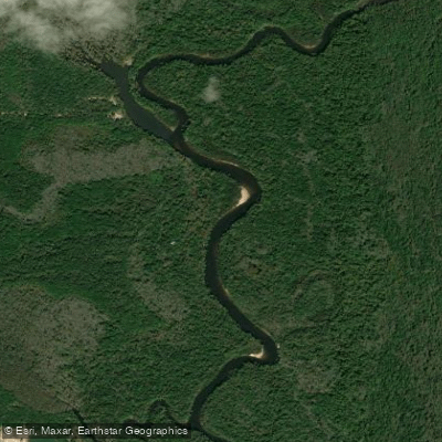
Escambia River
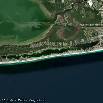
Little Lagoon
Bon Secour Bay
Shelby Lakes
Oyster Bay
Perdido River
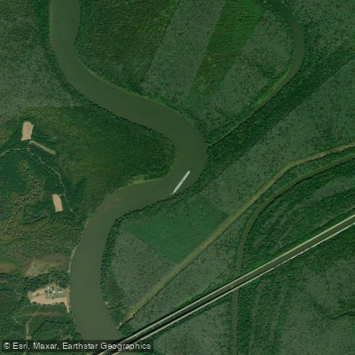
Mobile River
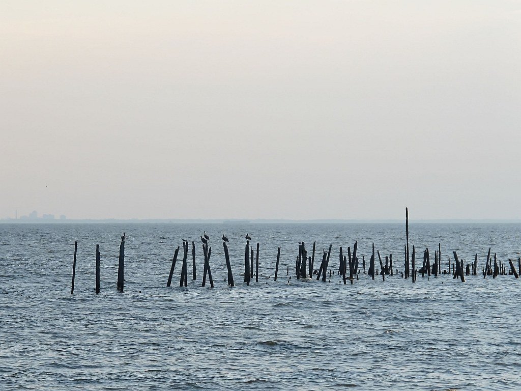
Mobile Bay
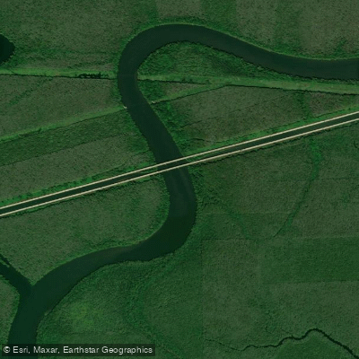
Tensaw River
Explore Alabama waters
Top fishing waters
Popular Cities
Loading popular cities...
Explore near Perdido Bay
Fish species
Fishing spots
Nearby waters
More in Alabama

Smarter Fishing Starts in the App.
onWater Fish gives you everything you need to plan smarter, fish better, and own every trip from first cast to last.