Lake Waikaremoana
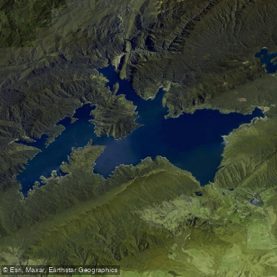
Lake Waikaremoana
- Boat Ramps
- 0
- Access Points
- 0
- Species
- 1
Lake Waikaremoana is one of New Zealand's most spectacular and pristine fishing destinations, nestled in the southeastern corner of Te Urewera in the North Island. Created by a massive landslide approximately 2,000 years ago, this stunning bush-lined lake sits at an elevation of 580 metres and plunges to depths of 220 metres. Surrounded by virgin native forest, dramatic bluffs, and mountain ranges, the lake offers a true wilderness fishing experience with crystal-clear water and roughly 100 kilometres of twisting, bush-clad shoreline. Although the lake is used for hydroelectric generation, it remains a pristine fishery with a self-sustaining trout population — stocking was discontinued after 1998 when the fishery proved capable of maintaining itself naturally. Trout were first liberated into the lake in 1896, and the introduction of native smelt in 1948 as a forage species markedly improved the quality of the fishery. The lake can be reached via a three-hour drive from Rotorua on State Highway 38, 2.5 hours from Gisborne, or three hours from Napier — note that the Rotorua road is narrow, winding, and mostly gravel, so allow extra travel time.
Species & education
Learn what type of fish are at Lake Waikaremoana and what's needed to catch them.

Find which waters have the species you want to catch

Brown Trout
Salmo trutta
Fishing spots, boat ramps & amenities
Learn how to get on Lake Waikaremoana. Uncover great fishing access points, boat ramps, and all the facilities you need for an unforgettable day on the water. Some locations shown may border or include private property. Always check property boundaries and applicable regulations before visiting. onWater's Public & Private Land layer can help you plan your access with confidence.
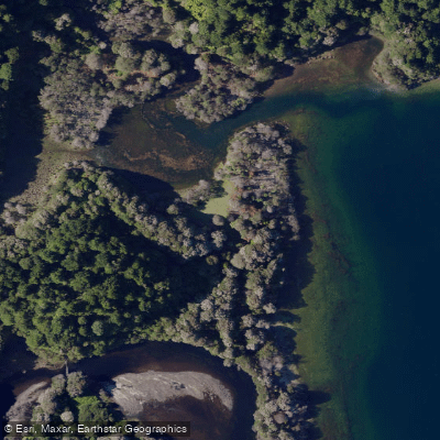
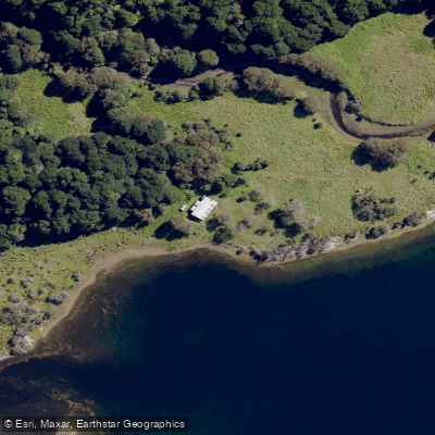
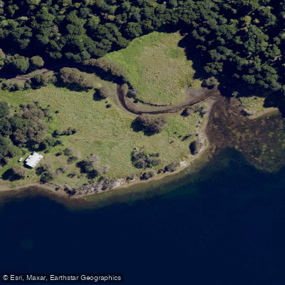
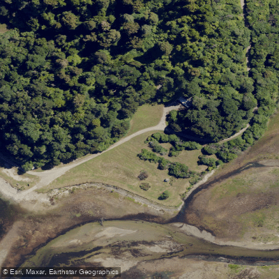
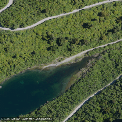
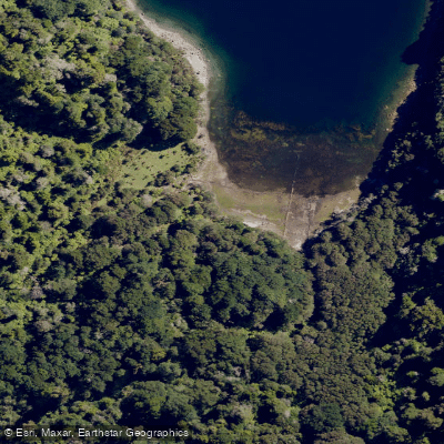
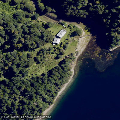
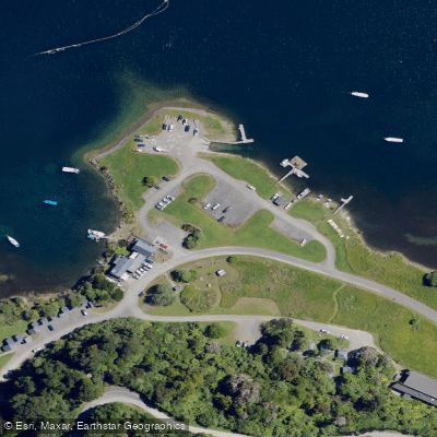
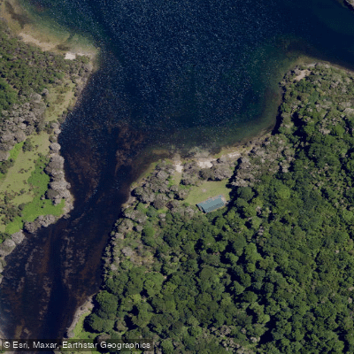
Know where you can legally fish on Lake Waikaremoana
See public and private land boundaries along the water, turn on private parcels with owner details to know where permission is required, and find land-trust parcels that offer permitted fishing access.
Hawke's Bay licenses and regulations
No licenses or regulations available for Hawke's Bay.
Take Lake Waikaremoana with you
The onWater Fish app keeps this water's access points, species and conditions in your pocket, with the tools you use once you're there.
Use the map without signal
Download the map around Lake Waikaremoana to use it offline when coverage drops.
Log your catches here
Keep a private fishing journal for Lake Waikaremoana to find where and when fish are biting for you.
HD depth charts from Garmin
Find drop offs, ledges, channels, points and shallow flats with Garmin depth charts in the app.
Get the onWater Fish app
Free on iOS and Android
Water and weather conditions (10 day forecast)
See the best times to fish Lake Waikaremoana and check the forecast before you go.
No forecast data available.
Fishing near Lake Waikaremoana
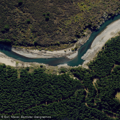
Mohaka River
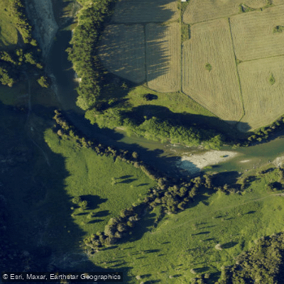
Waiau River
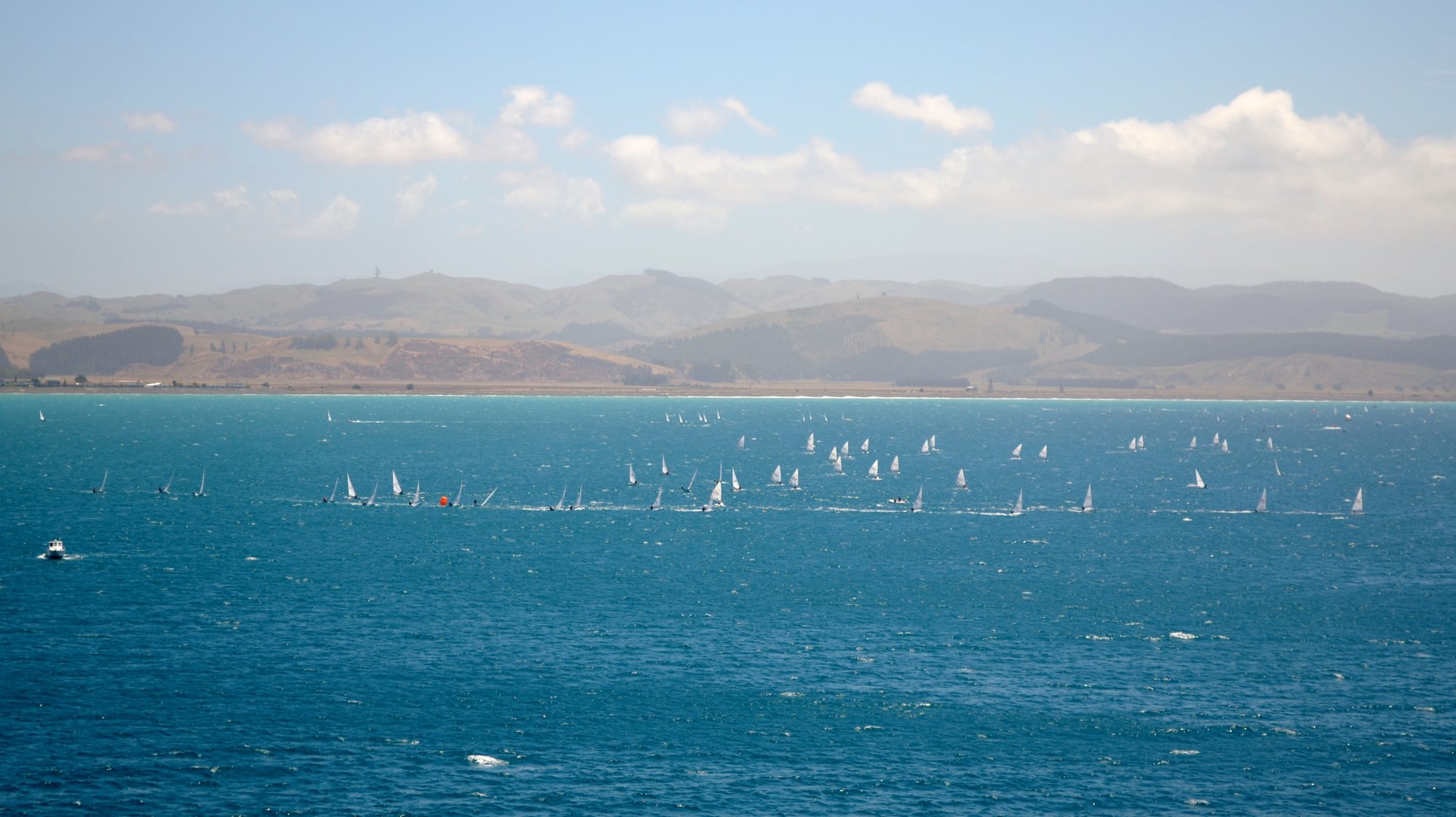
Hawke Bay
Waipunga River
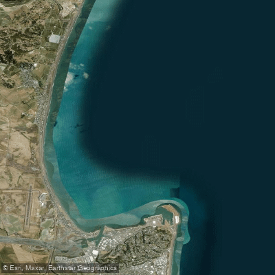
Ruawharo Harbour / Te Whanga o Ruawharo
Whirinaki River
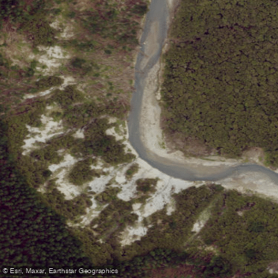
Esk River
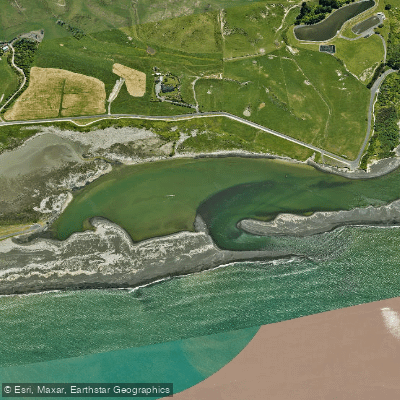
Whakamahi Lagoon
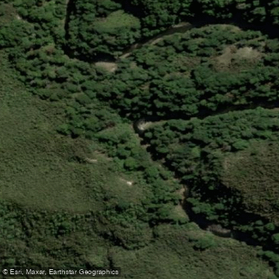
Ripia River
Explore Hawke's Bay waters
Top fishing waters
No waters available right now.
Popular Cities
Loading popular cities...
Explore near Lake Waikaremoana
Fish species
Fishing spots
Nearby waters
More in Hawke's Bay

Smarter Fishing Starts in the App.
onWater Fish gives you everything you need to plan smarter, fish better, and own every trip from first cast to last.