Lake Rotorua / Te Rotorua Nui Ā Kahumatamomoe
Lake Rotorua / Te Rotorua Nui Ā Kahumatamomoe
- Boat Ramps
- 8
- Access Points
- 0
- Species
- 2
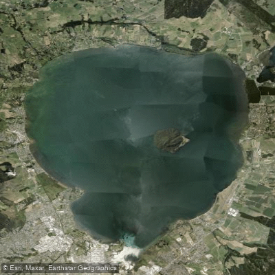
Lake Rotorua — Te Rotorua Nui Ā Kahumatamomoe — is widely regarded as New Zealand's most productive trout fishery, a distinction that draws anglers from across the country and around the world. Sitting within the ancient Rotorua Caldera in the Bay of Plenty Region of the North Island, the lake covers 79.8 square kilometres at an elevation of 280 metres above sea level. The city of Rotorua (population ~54,500) lines the southern shore, while the town of Ngongotahā sits along the western edge. The lake is the second largest in the North Island and the largest in the Rotorua Lakes District. Its mean depth is just 10 metres, though the southern section — north of Sulphur Point — plunges to a maximum of 45 metres, making it a relatively shallow lake overall with deeper pockets that concentrate fish. The lake is fed by several tributaries with notably different characters: the Utuhina and Ngongotahā streams carry thermally influenced water, while the northern-shore streams such as Hamurana Spring and the Awahou stream deliver crystal-clear water at a constant 10°C year-round. Lake Rotorua drains northeast via the Ohau Channel directly into Lake Rotoiti. Mokoia Island sits just east of centre, creating sheltered water that is particularly productive for trolling. Beyond the northern shore between Hamurana and the Ohau Channel, the lake is largely exposed to prevailing winds, a factor that significantly influences both fishing strategy and safety.
Species & education
Learn what type of fish are at Lake Rotorua / Te Rotorua Nui Ā Kahumatamomoe and what's needed to catch them.
Find which waters have the species you want to catch

Common Smelt
Retropinna retropinna

Rainbow Trout
Oncorhynchus mykiss
Fishing spots, boat ramps & amenities
Learn how to get on Lake Rotorua / Te Rotorua Nui Ā Kahumatamomoe. Uncover great fishing access points, boat ramps, and all the facilities you need for an unforgettable day on the water. Some locations shown may border or include private property. Always check property boundaries and applicable regulations before visiting. onWater's Public & Private Land layer can help you plan your access with confidence.
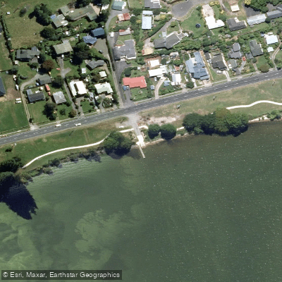
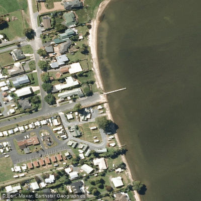
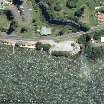
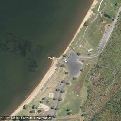
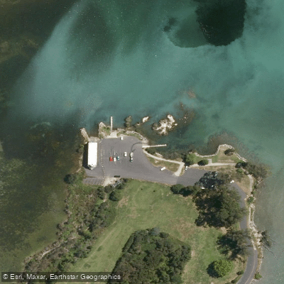
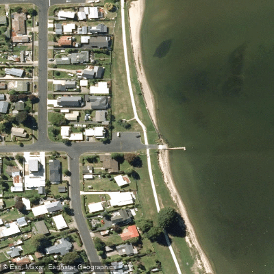
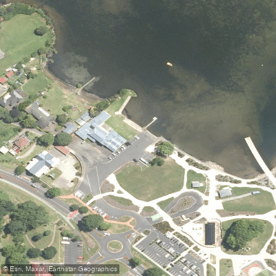
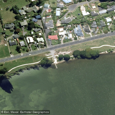
Know where you can legally fish on Lake Rotorua / Te Rotorua Nui Ā Kahumatamomoe
See public and private land boundaries along the water, turn on private parcels with owner details to know where permission is required, and find land-trust parcels that offer permitted fishing access.
Bay Of Plenty licenses and regulations
No licenses or regulations available for Bay Of Plenty.
Take Lake Rotorua / Te Rotorua Nui Ā Kahumatamomoe with you
The onWater Fish app keeps this water's access points, species and conditions in your pocket, with the tools you use once you're there.
Use the map without signal
Download the map around Lake Rotorua / Te Rotorua Nui Ā Kahumatamomoe to use it offline when coverage drops.
Log your catches here
Keep a private fishing journal for Lake Rotorua / Te Rotorua Nui Ā Kahumatamomoe to find where and when fish are biting for you.
HD depth charts from Garmin
Find drop offs, ledges, channels, points and shallow flats with Garmin depth charts in the app.
Get the onWater Fish app
Free on iOS and Android
Water and weather conditions (10 day forecast)
See the best times to fish Lake Rotorua / Te Rotorua Nui Ā Kahumatamomoe and check the forecast before you go.
No forecast data available.
Fishing near Lake Rotorua / Te Rotorua Nui Ā Kahumatamomoe
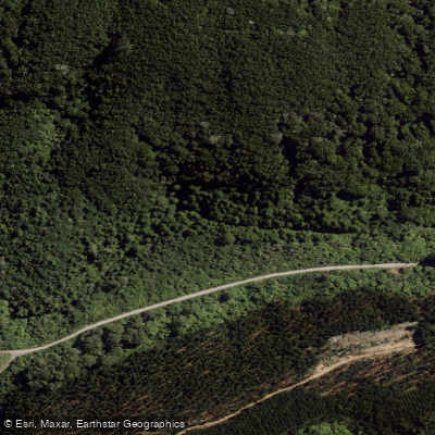
Utuhina Stream
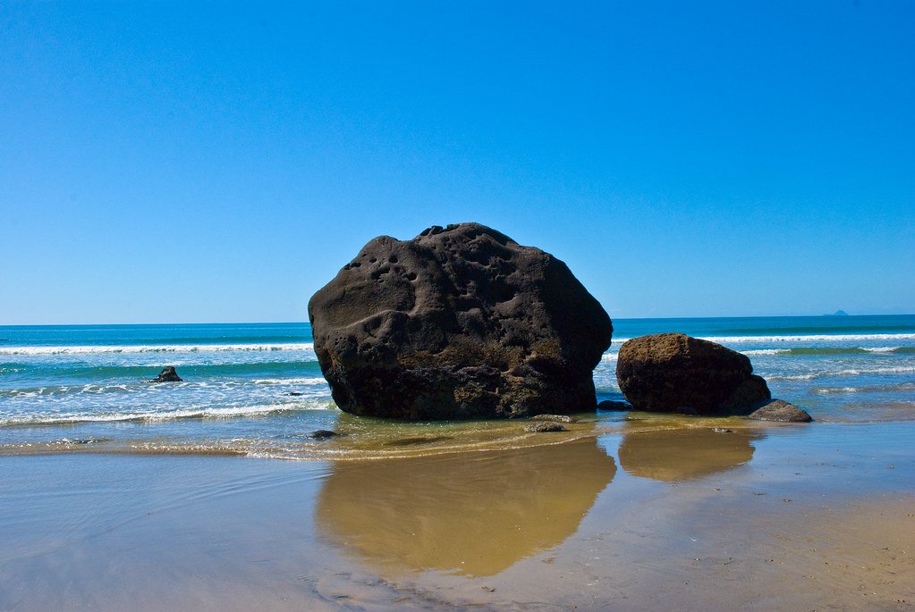
Bay of Plenty
Ngongotahā Stream
Lake Rotoiti / Te Roto Kite Ā Ihenga I Ariki Ai Kahu
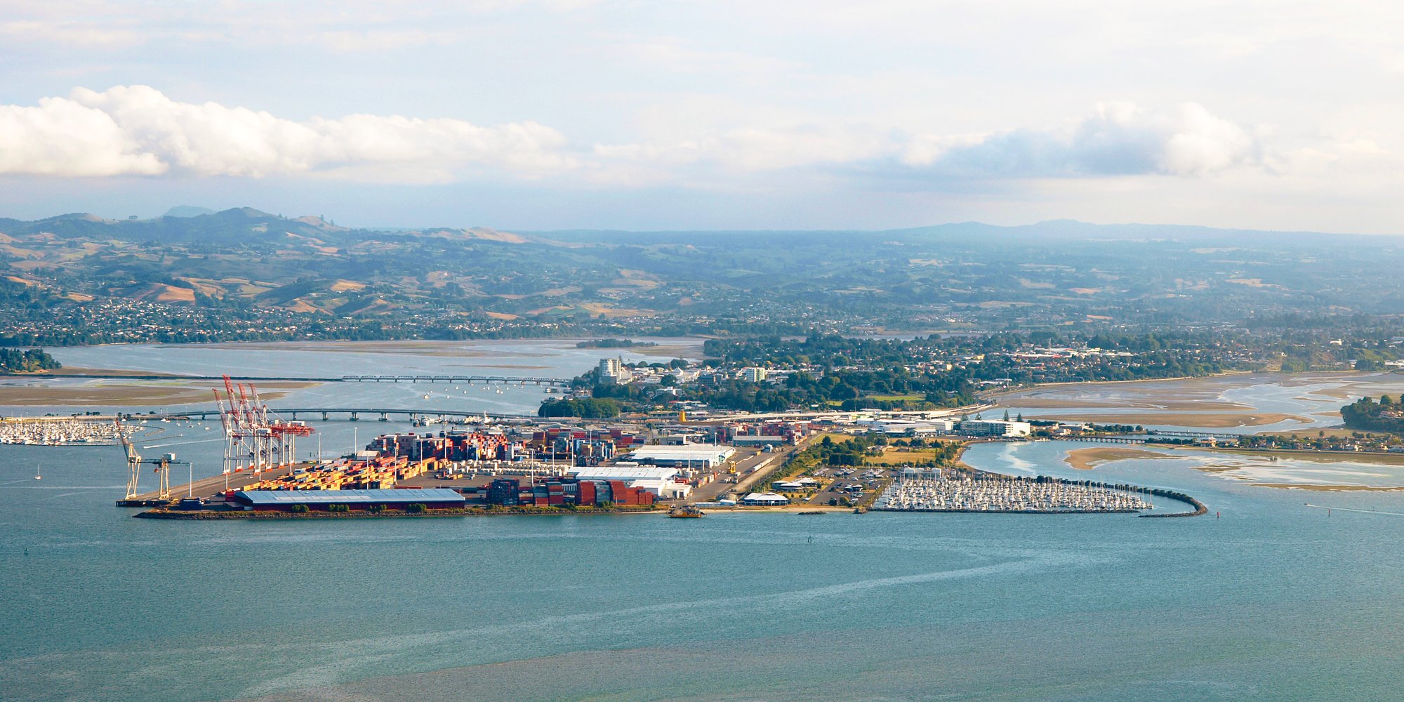
Tauranga Harbour
Lake Tarawera
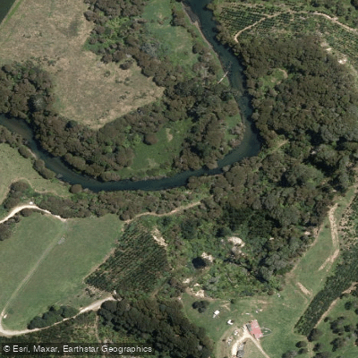
Kaituna River
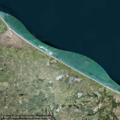
Pukehina Beach
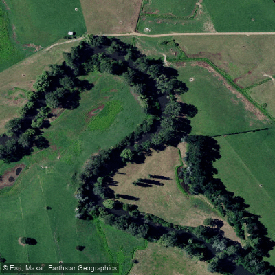
Waihou River
Explore Bay Of Plenty waters
Top fishing waters
No waters available right now.
Popular Cities
Loading popular cities...
Explore near Lake Rotorua / Te Rotorua Nui Ā Kahumatamomoe
Fish species
Fishing spots
Nearby waters
More in Bay Of Plenty
Smarter Fishing Starts in the App.
onWater Fish gives you everything you need to plan smarter, fish better, and own every trip from first cast to last.