Langevelderslag
- Saltwater
- Beach
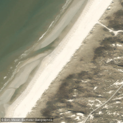
Langevelderslag
- Saltwater
- Beach
- Sq. miles
- 0.1
- Boat Ramps
- 0
- Access Points
- 0
- Species
- 2
Langevelderslag is a wide, clean sand beach located north of Noordwijk, closer to the town of Noordwijkerhout in the province of South Holland. This stretch of coastline is notably quieter and less crowded than the main beaches directly in front of Noordwijk, offering a more peaceful setting for beachgoers and anglers alike. The beach is part of a coastal dune system, with the Amsterdamse Waterleidingduinen and Hollands Duin areas nearby, featuring a landscape of dunes, forests, and water canals. The primary angling activity here is saltwater sport fishing from the shore into the North Sea.
Species & education
Learn what type of fish are at Langevelderslag and what's needed to catch them.

Find which waters have the species you want to catch

Spotted Ray
Raja montagui

Thornback Ray
Raja clavata
Fishing spots, boat ramps & amenities
Learn how to get on Langevelderslag. Uncover great fishing access points, boat ramps, and all the facilities you need for an unforgettable day on the water. Some locations shown may border or include private property. Always check property boundaries and applicable regulations before visiting. onWater's Public & Private Land layer can help you plan your access with confidence.
Langevelderslag Beach itself is the fishing spot. It is a broad, sandy beach with no specific underwater structures like reefs or wrecks from the shore. The beach is formally identified within the monitoring system for beach litter between beach posts 75.000 and 74.000.
Know where you can legally fish on Langevelderslag
See public and private land boundaries along the water, turn on private parcels with owner details to know where permission is required, and find land-trust parcels that offer permitted fishing access.
South Holland licenses and regulations
No licenses or regulations available for South Holland.
Take Langevelderslag with you
The onWater Fish app keeps this water's access points, species and conditions in your pocket, with the tools you use once you're there.
Use the map without signal
Download the map around Langevelderslag to use it offline when coverage drops.
Log your catches here
Keep a private fishing journal for Langevelderslag to find where and when fish are biting for you.
Get the onWater Fish app
Free on iOS and Android
Tides, wind & water conditions (10 day forecast)
On open water, wind and tide matter as much as the weather. See the best times to fish Langevelderslag and check the marine forecast before you launch.
Loading tide predictions…
Fishing near Langevelderslag
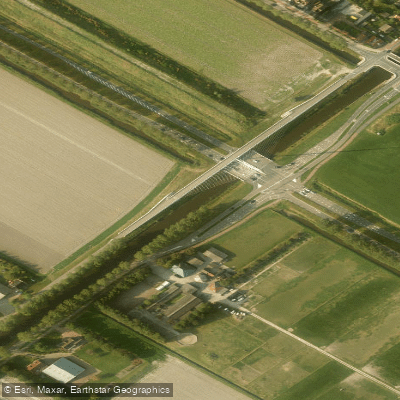
Hoofdvaart
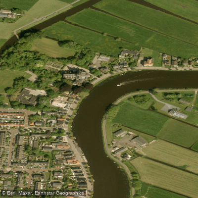
Amstel
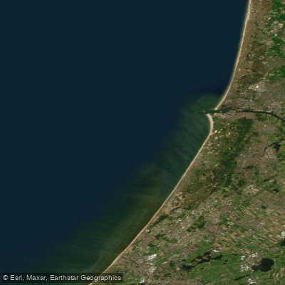
Hollandse kust (kustwater)
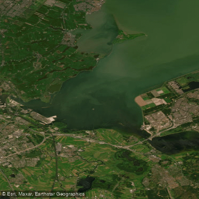
IJmeer
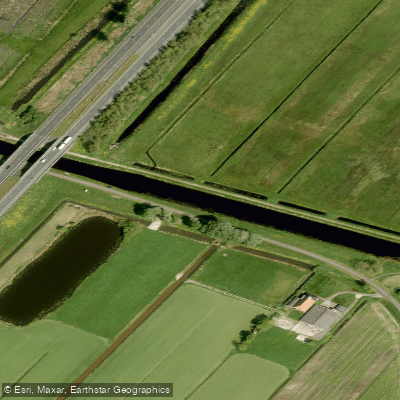
Nieuwe Vaart
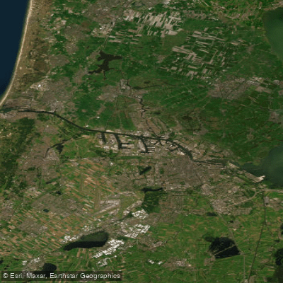
Noordzeekanaal
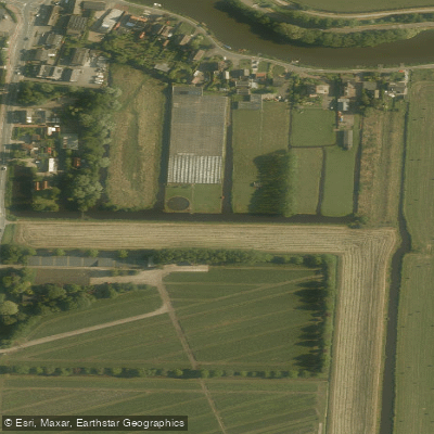
Ringsloot
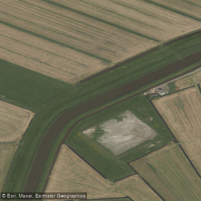
Purmerringvaart
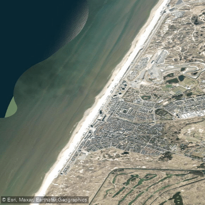
Strand Zandvoort
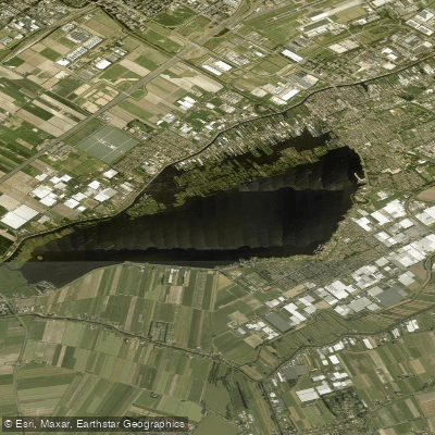
Westeinderplassen
Explore South Holland waters
Top fishing waters
No waters available right now.
Popular Cities
Loading popular cities...
Explore near Langevelderslag
Fish species
Nearby waters
More in South Holland

Smarter Fishing Starts in the App.
onWater Fish gives you everything you need to plan smarter, fish better, and own every trip from first cast to last.