Omleiding te Helmond, Zuid-Willemsvaart
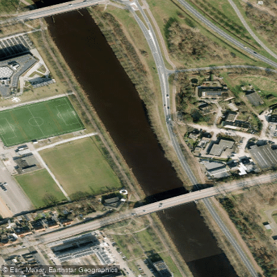
Omleiding te Helmond, Zuid-Willemsvaart
- Boat Ramps
- 0
- Access Points
- 0
- Species
- 0
The Omleiding te Helmond is a canal detour section of the Zuid-Willemsvaart, a historic 123-kilometer waterway connecting the Meuse River at Maastricht to the Dieze River at 's-Hertogenbosch, spanning the provinces of Limburg and North Brabant in the Netherlands and extending into Belgian Limburg. This detour was constructed to route the canal east of Helmond's town center, bypassing the congestion caused by the original alignment that ran just west of the city center. Construction began on 11 December 1981 and the detour officially opened on 11 December 1993, at a total cost of approximately 160 million guilders. The new route incorporates high-level bridges over the canal, ensuring uninterrupted road traffic flow, and consolidates what were formerly Locks 7 through 9 into a single new lock known as Sluis Helmond (also called Sluis Brouwhuis). As a man-made canal, the Omleiding te Helmond offers a distinctly different fishing environment compared to natural waterways, characterized by the structured, engineered banks and consistent water levels typical of active commercial navigation channels.
Species & education
Learn what type of fish are at Omleiding te Helmond, Zuid-Willemsvaart and what's needed to catch them.
No species information available.
Fishing spots, boat ramps & amenities
Learn how to get on Omleiding te Helmond, Zuid-Willemsvaart. Uncover great fishing access points, boat ramps, and all the facilities you need for an unforgettable day on the water. Some locations shown may border or include private property. Always check property boundaries and applicable regulations before visiting. onWater's Public & Private Land layer can help you plan your access with confidence.
Know where you can legally fish on Omleiding te Helmond, Zuid-Willemsvaart
See public and private land boundaries along the water, turn on private parcels with owner details to know where permission is required, and find land-trust parcels that offer permitted fishing access.
North Brabant licenses and regulations
No licenses or regulations available for North Brabant.
Take Omleiding te Helmond, Zuid-Willemsvaart with you
The onWater Fish app keeps this water's access points, species and conditions in your pocket, with the tools you use once you're there.
Use the map without signal
Download the map around Omleiding te Helmond, Zuid-Willemsvaart to use it offline when coverage drops.
Log your catches here
Keep a private fishing journal for Omleiding te Helmond, Zuid-Willemsvaart to find where and when fish are biting for you.
Get the onWater Fish app
Free on iOS and Android
Water and weather conditions (10 day forecast)
See the best times to fish Omleiding te Helmond, Zuid-Willemsvaart and check the forecast before you go.
Aa, Helmond
All Flow Stations
Fishing near Omleiding te Helmond, Zuid-Willemsvaart
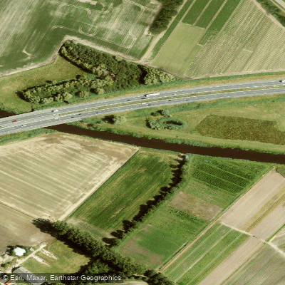
Aa
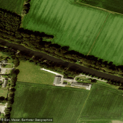
Wilhelminakanaal
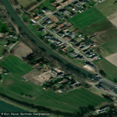
Zuid-Willemsvaart
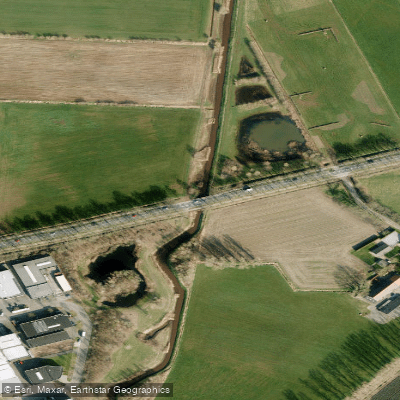
Goorloop
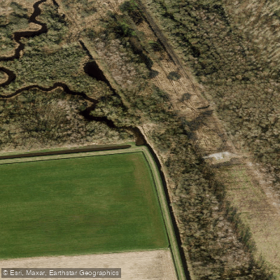
Aa
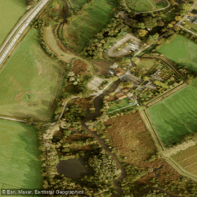
Dommel
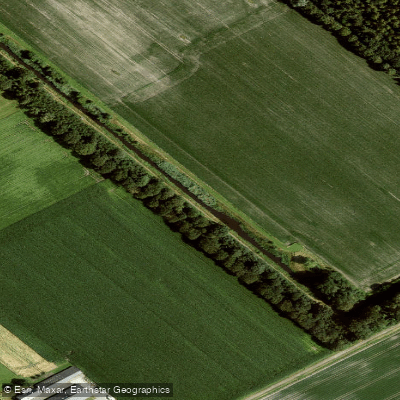
Defensiekanaal
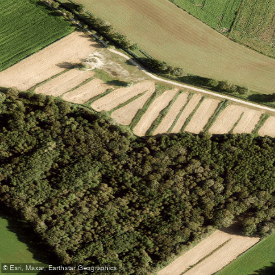
Sterkselse Aa
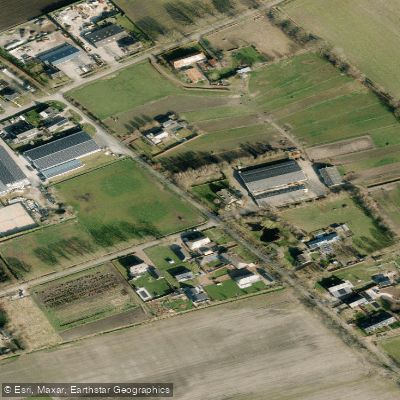
De Rips
Explore North Brabant waters
Top fishing waters
No waters available right now.
Popular Cities
Loading popular cities...
Explore near Omleiding te Helmond, Zuid-Willemsvaart
More in North Brabant

Smarter Fishing Starts in the App.
onWater Fish gives you everything you need to plan smarter, fish better, and own every trip from first cast to last.