Dintelmond
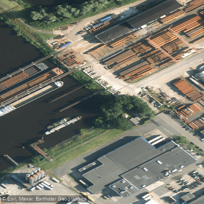
Dintelmond
Dintelmond is the point where the river De Dintel flows into the Volkerak, situated approximately four miles southwest of the Volkerak lock.
It serves as an active small port with steady commercial vessel traffic, identified by the UN/LOCODE NLDIN, at coordinates 51. 65°N, 4. 38°E. For recreational boaters, Dintelmond is a practical access point for entering De Dintel.
Vessels pick up the river at buoy NV11-DS and proceed roughly a mile past the pier heads to the Mandersluis lock, which is generally kept open but requires waiting for a green light before passing.
The nearby WSV De Dintel marina welcomes visiting boats and maintains a reporting jetty at the head of jetty D.
Nearby points of interest
Find excellent fishing spots, easy access to boat ramps, and all the amenities you need for a memorable day. Your adventure starts here.
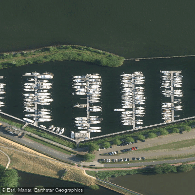
De Batterij
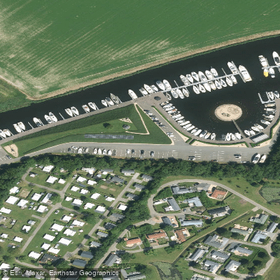
De Schapenput
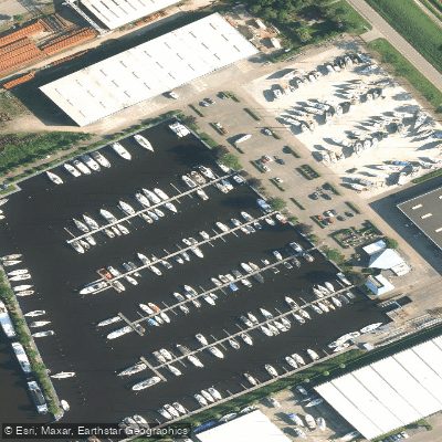
Jachtcentrum Dintelmond
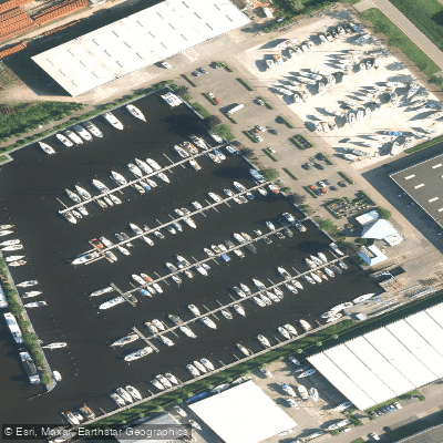
Jachtcentrum Dintelmond
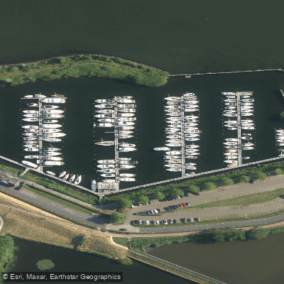
Jachthaven De Batterij
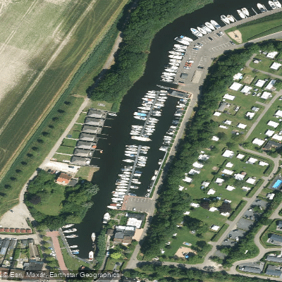
Jachthaven De Schapenput
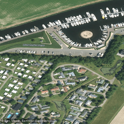
Jachthaven De Schapenput
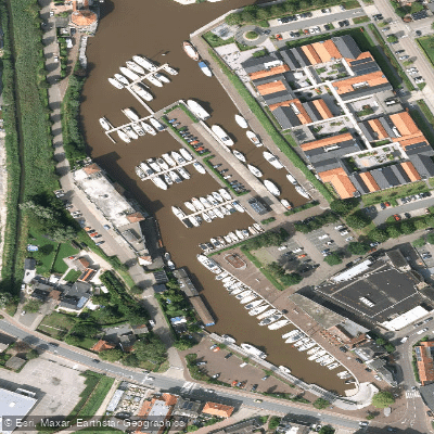
Jachthaven Steenbergen
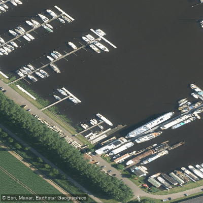
Jachthaven Waterkant
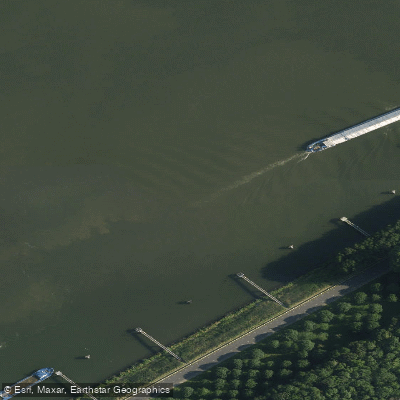
Noorder Voorhaven
Water and weather conditions (10 day forecast)
Check the forecast at Dintelmond before you go fishing.
No forecast data available.
Fishing near Dintelmond
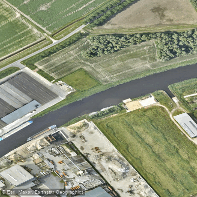
Mark
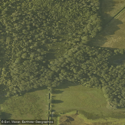
Turfvaart
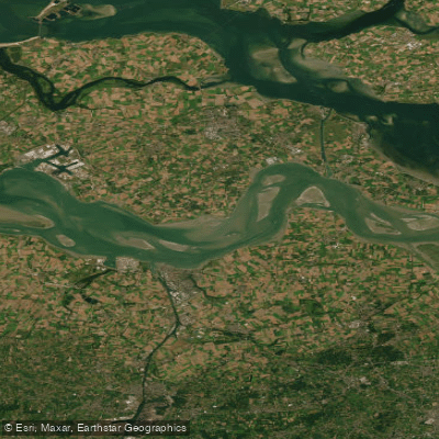
Westerschelde
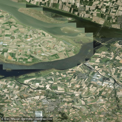
Volkerak
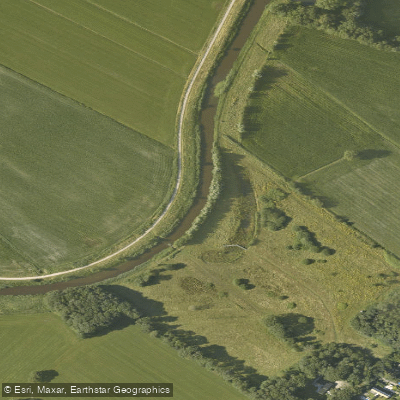
Aa of Weerijs
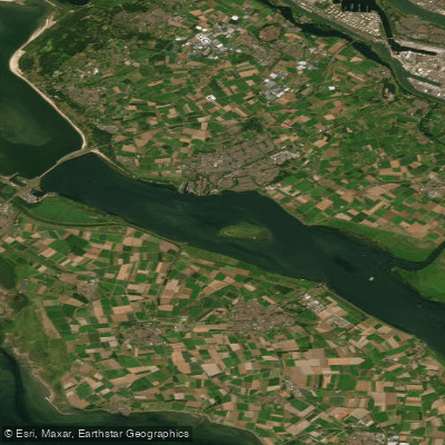
Haringvliet-west
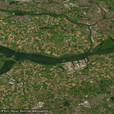
Hollandsch Diep
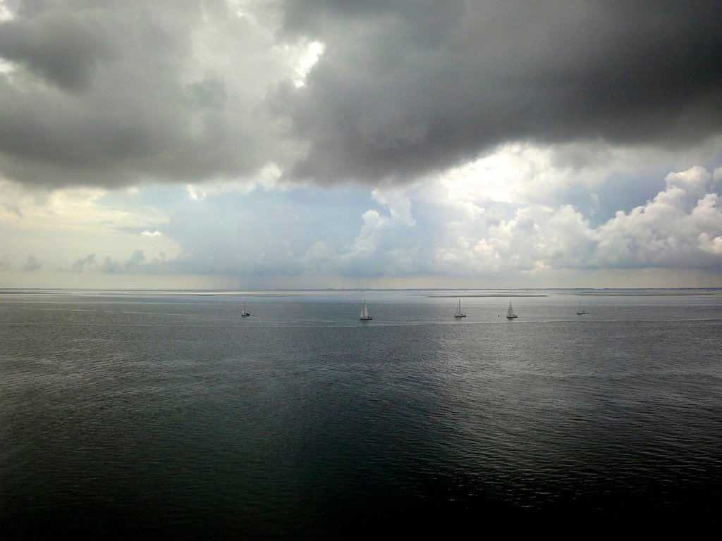
Oosterschelde
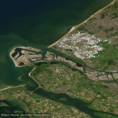
Nieuwe Waterweg
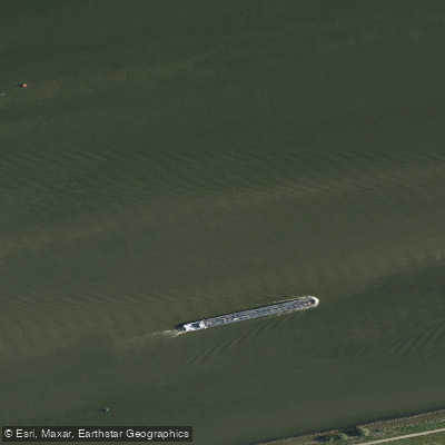
Hollandsch Diep
North Brabant licenses and regulations
Explore North Brabant waters
Top fishing waters
No waters available right now.
Popular Cities
Loading popular cities...
Explore near Dintelmond
Nearby spots
Nearby waters
More in North Brabant

Smarter Fishing Starts in the App.
onWater Fish gives you everything you need to plan smarter, fish better, and own every trip from first cast to last.