Wexford Harbour
- Saltwater
- Bay
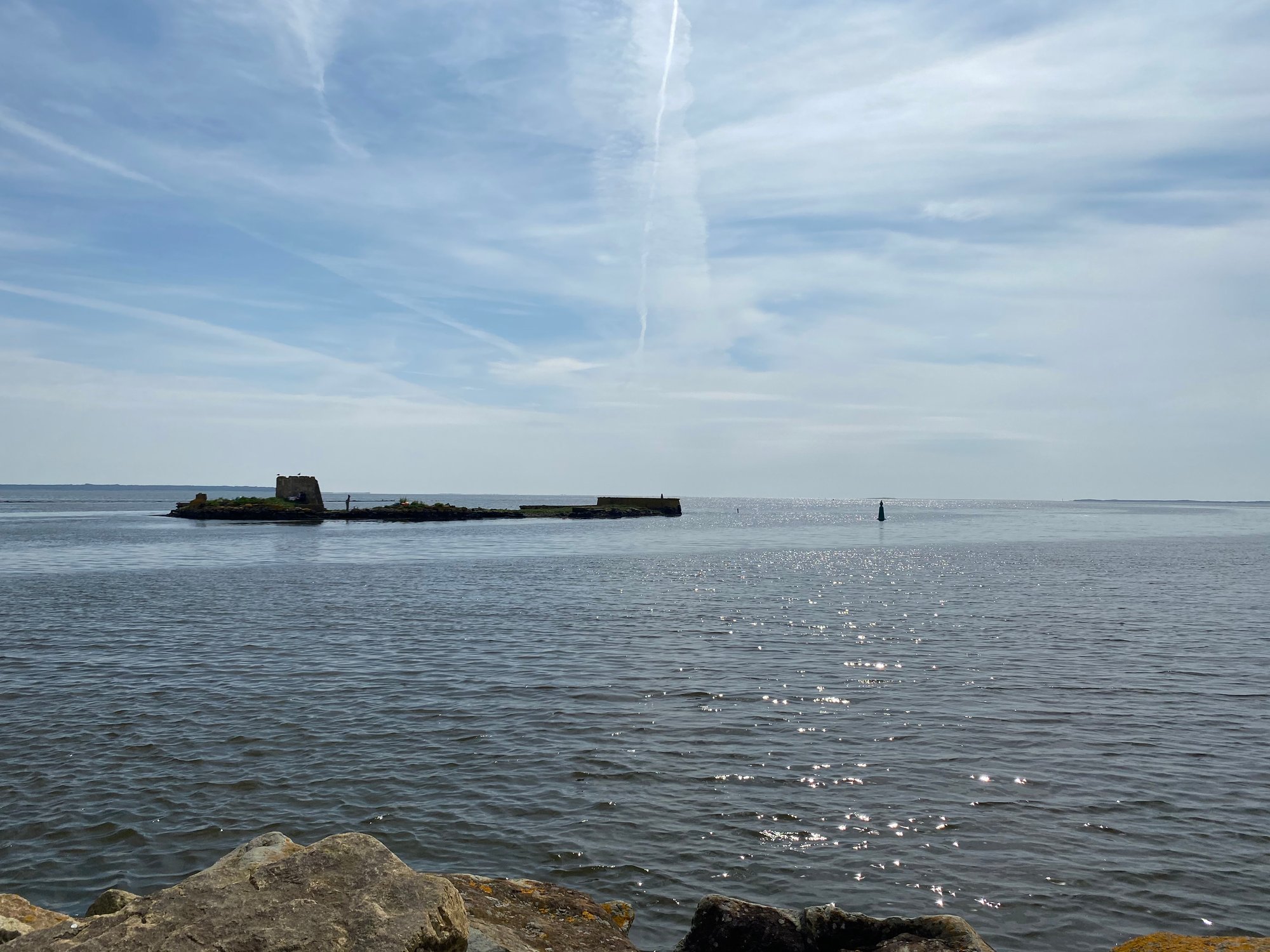
Wexford Harbour
- Saltwater
- Bay
- Sq. miles
- 7.6
- Boat Ramps
- 0
- Access Points
- 0
- Species
- 7
Wexford Harbour is the tidal estuary where the River Slaney meets the Irish Sea, forming a large, sheltered basin protected from the open sea by a narrow sand spit running northward to Rosslare Point. This geography creates extensive mudflats, sandy shallows, and tidal channels, making it one of the most productive shore angling venues on Ireland's south-east coast. The harbour has a long maritime history and today serves as a commercial fishing port and a popular public amenity for anglers, with accessible town quays and shorelines offering a wide variety of marks without the need for a boat.
Species & education
Learn what type of fish are at Wexford Harbour and what's needed to catch them.



Fishing spots, boat ramps & amenities
Learn how to get on Wexford Harbour. Uncover great fishing access points, boat ramps, and all the facilities you need for an unforgettable day on the water. Some locations shown may border or include private property. Always check property boundaries and applicable regulations before visiting. onWater's Public & Private Land layer can help you plan your access with confidence.
Kaats Strand and the Ardcavan shoreline on the northern side of the harbour are famous match fishing venues for flounder. The broken bank above the heritage centre bridge is a reliable mark for bass on incoming tides. The new quay on the south side of the bridge, behind the Talbot Hotel car park, is a popular access point. School bass congregate near the breakwater and road bridge during summer. The deeper main channel is a key area for targeting bass with lures. Outside the harbour, nearby boat fishing hotspots include the tide races at Splaugh Reef below Rosslare ferry port and around the Saltee Islands off Kilmore Quay.
Know where you can legally fish on Wexford Harbour
See public and private land boundaries along the water, turn on private parcels with owner details to know where permission is required, and find land-trust parcels that offer permitted fishing access.
Co. Wexford licenses and regulations
No licenses or regulations available for Co. Wexford.
Take Wexford Harbour with you
The onWater Fish app keeps this water's access points, species and conditions in your pocket, with the tools you use once you're there.
Use the map without signal
Download the map around Wexford Harbour to use it offline when coverage drops.
Log your catches here
Keep a private fishing journal for Wexford Harbour to find where and when fish are biting for you.
Get the onWater Fish app
Free on iOS and Android
Tides, wind & water conditions (10 day forecast)
On open water, wind and tide matter as much as the weather. See the best times to fish Wexford Harbour and check the marine forecast before you launch.
Loading tide predictions…
Fishing near Wexford Harbour
Owenavorragh

Barrow

St George's Channel
Nore
White Gap
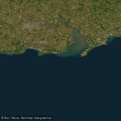
Eastern Celtic Sea (HAs 13;17)
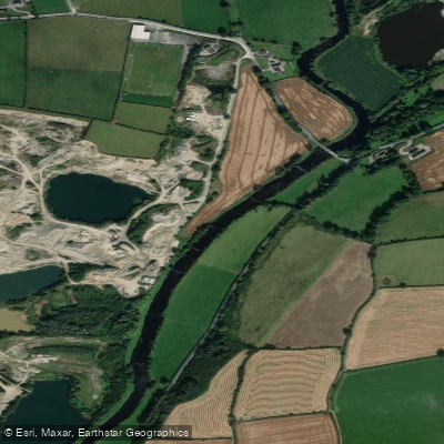
Slaney
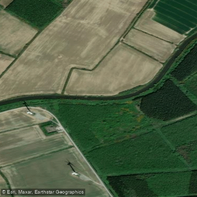
Bridgetown [Wexford]
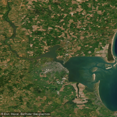
Lower Slaney Estuary
Johnstown 12
Explore Wexford waters
Top fishing waters
No waters available right now.
Popular Cities
Loading popular cities...
Explore near Wexford Harbour

Smarter Fishing Starts in the App.
onWater Fish gives you everything you need to plan smarter, fish better, and own every trip from first cast to last.