St George's Channel
- Saltwater
- Channel
St George's Channel
- Saltwater
- Channel
- Sq. miles
- 3,492
- Boat Ramps
- 0
- Access Points
- 0
- Species
- 58
St George's Channel is a major sea passage linking the Irish Sea to the Celtic Sea and the broader Atlantic Ocean, forming a significant marine corridor between southeastern Ireland and southwestern Wales. It is a wide, open body of saltwater, approximately 160 kilometers long and up to 76 kilometers wide at its broadest point between Carnsore Point in County Wexford and St. David's Head in Wales. The channel's geography creates a dynamic marine environment influenced by oceanic currents and tides, supporting a diverse range of inshore and offshore fish species. The Irish coastline along the channel, particularly in County Wexford, features a mix of sandy shorelines, lowlands, rocky points, and harbors that provide varied access for anglers.
Species & education
Learn what type of fish are at St George's Channel and what's needed to catch them.

Find which waters have the species you want to catch

Angler
Lophius piscatorius

Atlantic Bluefin Tuna
Thunnus thynnus

Atlantic Cod
Gadus morhua

Atlantic Herring
Clupea harengus

Atlantic Horse Mackerel
Trachurus trachurus

Atlantic Mackerel
Scomber scombrus

Ballan Wrasse
Labrus bergylta

Black Seabream
Spondyliosoma cantharus

Blonde Ray
Raja brachyura

Blue Shark
Prionace glauca

Blue Whiting
Micromesistius poutassou

Brill
Scophthalmus rhombus

Bull Huss
Scyliorhinus stellaris

Coalfish
Pollachius virens

Common Sole
Solea solea

Conger Eel
Conger conger

Corkwing Wrasse
Symphodus melops

Cuckoo Ray
Leucoraja naevus

Cuckoo Wrasse
Labrus mixtus

Dab
Limanda limanda

European Anchovy
Engraulis encrasicolus

European Eel
Anguilla anguilla

European Pilchard
Sardina pilchardus

European Plaice
Pleuronectes platessa

European Seabass
Dicentrarchus labrax

European Sprat
Sprattus sprattus

Garfish
Belone belone

Gilthead Seabream
Sparus aurata

Goldsinny Wrasse
Ctenolabrus rupestris

Grey Gurnard
Eutrigla gurnardus

Grey Triggerfish
Balistes capriscus

Haddock
Melanogrammus aeglefinus

John Dory
Zeus faber

Lemon Sole
Microstomus kitt

Lesser Spotted Dogfish
Scyliorhinus canicula

Lesser Weever
Echiichthys vipera

Ling
Molva molva

Megrim
Lepidorhombus whiffiagonis

Pollack
Pollachius pollachius

Poor Cod
Trisopterus minutus
Fishing spots, boat ramps & amenities
Learn how to get on St George's Channel. Uncover great fishing access points, boat ramps, and all the facilities you need for an unforgettable day on the water. Some locations shown may border or include private property. Always check property boundaries and applicable regulations before visiting. onWater's Public & Private Land layer can help you plan your access with confidence.

AGNES
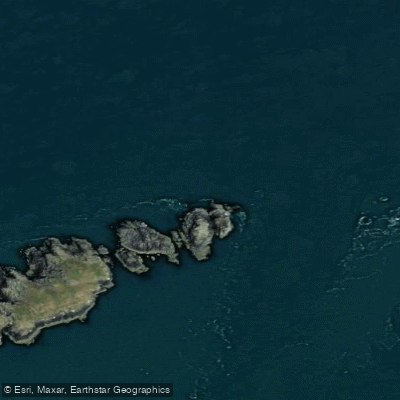
ALARIC (POSSIBLY)

ANT CASSAR

ARCA

ARCADIAN (POSSIBLY)
ATHELDUCHESS (FORWARD PART)

ATXERI MENDI
AVANCE

BARON AILSA (POSSIBLY)

BEEMSTERDIJK
Know where you can legally fish on St George's Channel
See public and private land boundaries along the water, turn on private parcels with owner details to know where permission is required, and find land-trust parcels that offer permitted fishing access.
Co. Wexford licenses and regulations
No licenses or regulations available for Co. Wexford.
Take St George's Channel with you
The onWater Fish app keeps this water's access points, species and conditions in your pocket, with the tools you use once you're there.
Use the map without signal
Download the map around St George's Channel to use it offline when coverage drops.
Log your catches here
Keep a private fishing journal for St George's Channel to find where and when fish are biting for you.
Get the onWater Fish app
Free on iOS and Android
Tides, wind & water conditions (10 day forecast)
On open water, wind and tide matter as much as the weather. See the best times to fish St George's Channel and check the marine forecast before you launch.
Loading tide predictions…
Fishing near St George's Channel
Owenavorragh

Barrow
Nore
White Gap
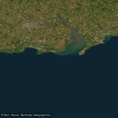
Eastern Celtic Sea (HAs 13;17)
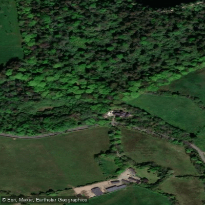
Johnstown 12
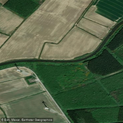
Bridgetown [Wexford]
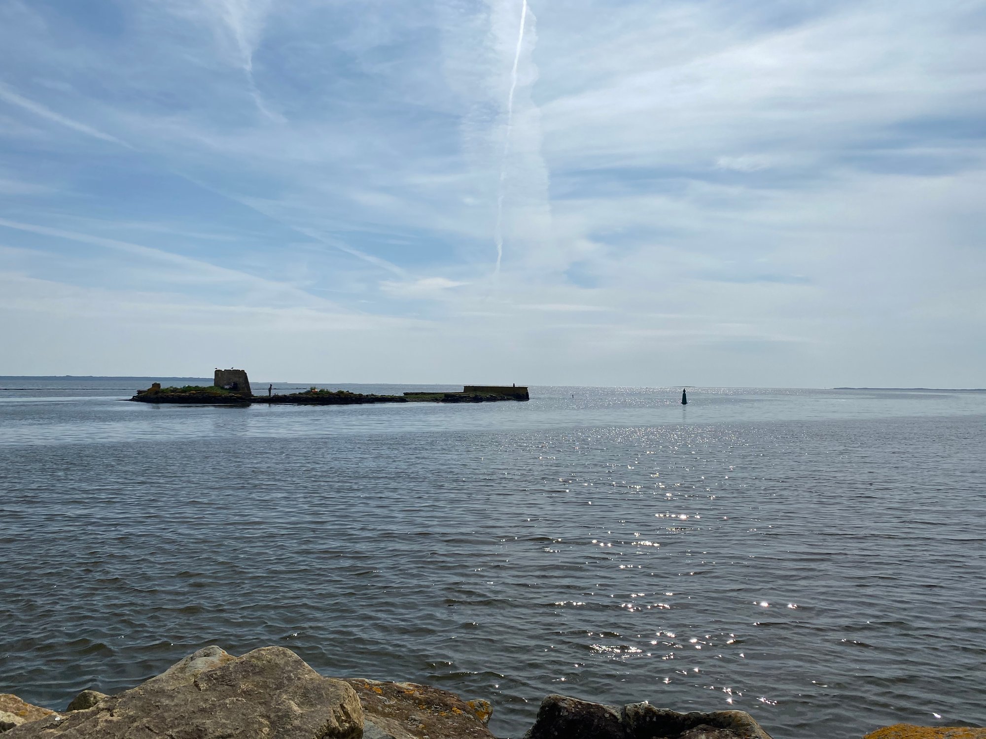
Wexford Harbour
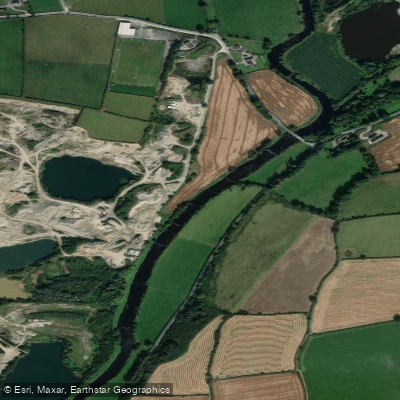
Slaney
Explore Wexford waters
Top fishing waters
No waters available right now.
Popular Cities
Loading popular cities...
Explore near St George's Channel
Fish species
Nearby waters
More in Co. Wexford

Smarter Fishing Starts in the App.
onWater Fish gives you everything you need to plan smarter, fish better, and own every trip from first cast to last.