Firth of Clyde
- Saltwater
- Sound
Firth of Clyde
- Saltwater
- Sound
- Sq. miles
- 1,375
- Boat Ramps
- 2
- Access Points
- 0
- Species
- 51
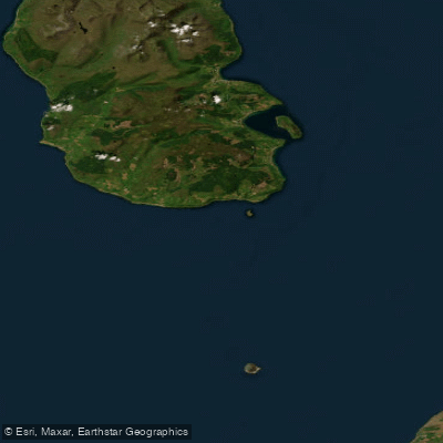
The Firth of Clyde is a vast and complex estuarine system on Scotland's west coast, forming the tidal mouth of the River Clyde. It is one of the deepest coastal waters in the British Isles, with an average depth of 58 meters and a maximum depth reaching 198 meters. This extensive firth covers a surface area of 4,279 square kilometers and features a dramatic coastline of approximately 1,256 kilometers, encompassing wide sandy beaches, rugged cliffs, deep sea lochs, and numerous islands like Arran, Bute, and the Cumbraes. Sheltered from the open Atlantic by the Kintyre Peninsula, the waters exhibit strong vertical stratification due to significant freshwater input from the River Clyde and other sources, leading to variable salinity and turbidity, especially in the inner estuary. The tidal range varies from 0.85 to 3.08 meters, and sea surface temperatures typically range from about 8°C to 14.5°C. The area's diverse geology, influenced by the Highland Boundary Fault, creates a rich mosaic of habitats, from industrialised mudflats near Glasgow to the pristine sea lochs of Argyll.
Species & education
Learn what type of fish are at Firth of Clyde and what's needed to catch them.

Find which waters have the species you want to catch

Angler
Lophius piscatorius

Atlantic Cod
Gadus morhua

Atlantic Herring
Clupea harengus

Atlantic Horse Mackerel
Trachurus trachurus

Atlantic Mackerel
Scomber scombrus

Atlantic Salmon
Salmo salar

Ballan Wrasse
Labrus bergylta

Blonde Ray
Raja brachyura

Blue Whiting
Micromesistius poutassou

Bull Huss
Scyliorhinus stellaris

Coalfish
Pollachius virens

Common Sole
Solea solea

Conger Eel
Conger conger

Corkwing Wrasse
Symphodus melops

Cuckoo Ray
Leucoraja naevus

Cuckoo Wrasse
Labrus mixtus

Dab
Limanda limanda

European Anchovy
Engraulis encrasicolus

European Eel
Anguilla anguilla

European Flounder
Platichthys flesus

European Plaice
Pleuronectes platessa

European Smelt
Osmerus eperlanus

European Sprat
Sprattus sprattus

Garfish
Belone belone

Goldsinny Wrasse
Ctenolabrus rupestris

Greater Forkbeard
Phycis blennoides

Grey Gurnard
Eutrigla gurnardus

Haddock
Melanogrammus aeglefinus

John Dory
Zeus faber

Lemon Sole
Microstomus kitt

Lesser Spotted Dogfish
Scyliorhinus canicula

Lesser Weever
Echiichthys vipera

Ling
Molva molva

Lumpsucker
Cyclopterus lumpus

Megrim
Lepidorhombus whiffiagonis

Pollack
Pollachius pollachius

Poor Cod
Trisopterus minutus

Pouting
Trisopterus luscus

Red Gurnard
Chelidonichthys cuculus

Red Mullet
Mullus surmuletus
Fishing spots, boat ramps & amenities
Learn how to get on Firth of Clyde. Uncover great fishing access points, boat ramps, and all the facilities you need for an unforgettable day on the water. Some locations shown may border or include private property. Always check property boundaries and applicable regulations before visiting. onWater's Public & Private Land layer can help you plan your access with confidence.
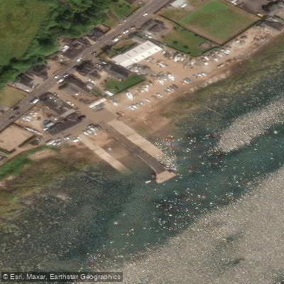
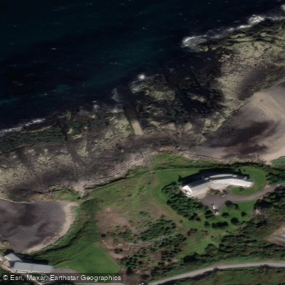
Know where you can legally fish on Firth of Clyde
See public and private land boundaries along the water, turn on private parcels with owner details to know where permission is required, and find land-trust parcels that offer permitted fishing access.
Scotland licenses and regulations

Scotland Boating Regulations
Scottish Canals is the public navigation authority for Scotland's canals, covering boat licences, permits, and navigation rules. For coastal and sea boating the UK-wide Maritime & Coastguard Agency guidance applies instead.

Scotland Fishing License
Scotland has no statutory rod licence for trout or coarse fishing (the only exception is the Border Esk). You instead need the permission of the landowner or permit holder; salmon and sea trout are fished via permits from the local fishery.

Scotland Fishing Regulations
Official gov.scot guidance on freshwater fisheries rules - close times for salmon and brown trout, protection orders, and the consents needed to catch salmon or freshwater fish. Check the page for current dates.

Scotland Stream Access Laws
The Scottish Outdoor Access Code grants broad public right of responsible access to most land and inland water (unlike England/Wales). Important: fishing is explicitly excluded from these access rights - you still need the relevant permit or the rights-holder's permission to fish.
Take Firth of Clyde with you
The onWater Fish app keeps this water's access points, species and conditions in your pocket, with the tools you use once you're there.
Use the map without signal
Download the map around Firth of Clyde to use it offline when coverage drops.
Log your catches here
Keep a private fishing journal for Firth of Clyde to find where and when fish are biting for you.
Get the onWater Fish app
Free on iOS and Android
Tides, wind & water conditions (10 day forecast)
On open water, wind and tide matter as much as the weather. See the best times to fish Firth of Clyde and check the marine forecast before you launch.
Loading tide predictions…
Fishing near Firth of Clyde
White Cart Water
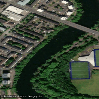
River Clyde
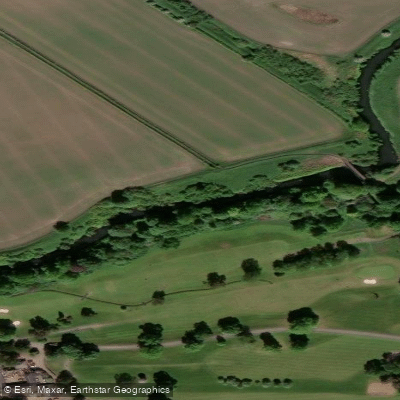
River Kelvin
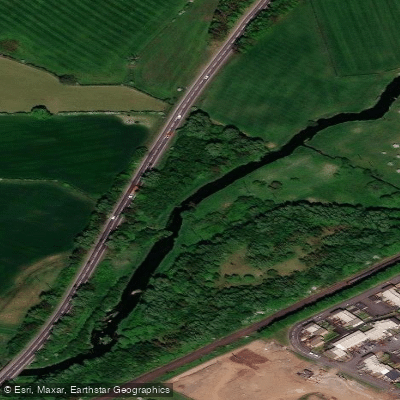
Black Cart Water
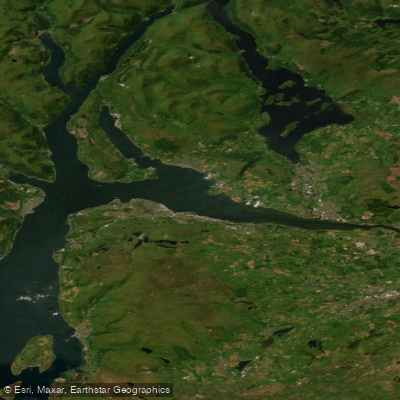
Clyde Estuary - Outer
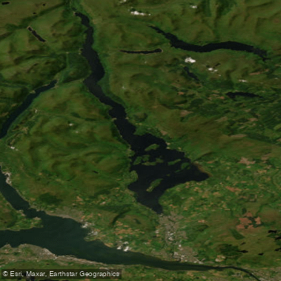
Loch Lomond
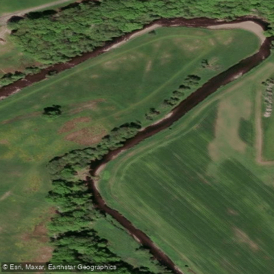
Endrick Water
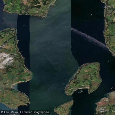
Firth of Clyde Inner - Cumbraes
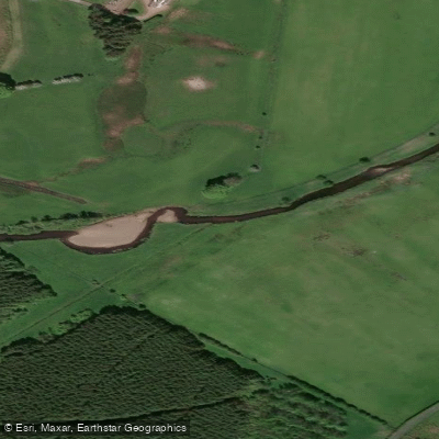
Avon Water
Explore Scotland waters
Top fishing waters
No waters available right now.
Popular Cities
Loading popular cities...
Explore near Firth of Clyde
Fish species
Fishing spots
Nearby waters
More in Scotland

Smarter Fishing Starts in the App.
onWater Fish gives you everything you need to plan smarter, fish better, and own every trip from first cast to last.