Lough Neagh
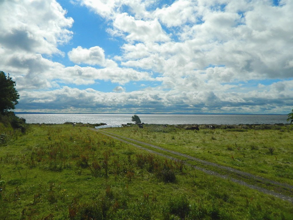
Lough Neagh
- Boat Ramps
- 0
- Access Points
- 3
- Species
- 4
Lough Neagh (pronounced "lokh NAY") is the largest freshwater lake in the British Isles and the fifth largest in Europe, covering a surface area of approximately 383–400 square kilometres in the heart of Northern Ireland. Stretching roughly 30.5 km from southwest to northeast and up to 12.1 km wide, this vast, shallow lough has an average depth of just 8.9 metres and a maximum depth of 30 metres. Fed by eight major tributaries — the Blackwater, Ballinderry, Moyola, Six Mile Water, Main, Upper Bann, Glenavy, and Crumlin rivers — the lough drains northward via the Lower River Bann at Toome, eventually reaching the sea near Portstewart. The Lough Neagh Basin sits within a geological depression shaped by tectonic events dating back some 400 million years, giving the lough a broad, relatively flat character with a shoreline of approximately 125 km. Lough Neagh is not only a world-class fishery but a place of deep cultural and historical significance in Northern Ireland, celebrated in literature and sustaining fishing communities for centuries.
Species & education
Learn what type of fish are at Lough Neagh and what's needed to catch them.

Find which waters have the species you want to catch

Common Bream
Abramis brama

Common Carp
Cyprinus carpio

Common Roach
Rutilus rutilus

Pollan
Coregonus pollan
Fishing spots, boat ramps & amenities
Learn how to get on Lough Neagh. Uncover great fishing access points, boat ramps, and all the facilities you need for an unforgettable day on the water. Some locations shown may border or include private property. Always check property boundaries and applicable regulations before visiting. onWater's Public & Private Land layer can help you plan your access with confidence.
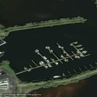
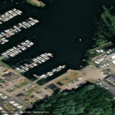
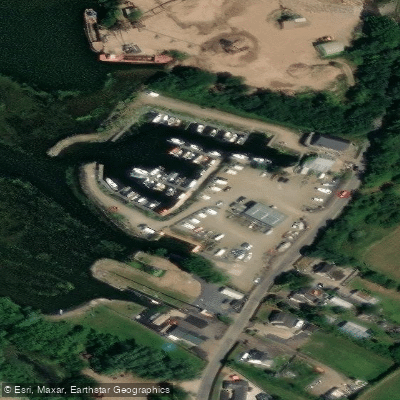
Know where you can legally fish on Lough Neagh
See public and private land boundaries along the water, turn on private parcels with owner details to know where permission is required, and find land-trust parcels that offer permitted fishing access.
Northern Ireland licenses and regulations

Northern Ireland Boating Regulations
Official NI guidance on using waterways, rivers and loughs for boating, canoeing and other craft (e.g. Lough Erne and the Lower Bann canoe trails). Navigation on the cross-border system is managed by Waterways Ireland.

Northern Ireland Fishing License
To fish freshwater in Northern Ireland you need both a rod licence and a permit/day ticket. Licences and permits are issued by DAERA (most of NI) and the Loughs Agency (Foyle and Carlingford catchments); a small endorsement lets a full-season game licence holder fish both areas.

Northern Ireland Fishing Regulations
Official DAERA/nidirect angling regulations for Northern Ireland - licence and permit rules, seasons, methods, and catch limits. Separate rules apply in Loughs Agency waters (Foyle and Carlingford).

Northern Ireland Stream Access Laws
Closest official page on public access to land and water in Northern Ireland, which has limited access rights (no general right to roam). There is no public right to fish - you must hold the required rod licence and a permit/day ticket for the specific fishery.
Take Lough Neagh with you
The onWater Fish app keeps this water's access points, species and conditions in your pocket, with the tools you use once you're there.
Use the map without signal
Download the map around Lough Neagh to use it offline when coverage drops.
Log your catches here
Keep a private fishing journal for Lough Neagh to find where and when fish are biting for you.
HD depth charts from Garmin
Find drop offs, ledges, channels, points and shallow flats with Garmin depth charts in the app.
Get the onWater Fish app
Free on iOS and Android
Water and weather conditions (10 day forecast)
See the best times to fish Lough Neagh and check the forecast before you go.
No forecast data available.
Fishing near Lough Neagh
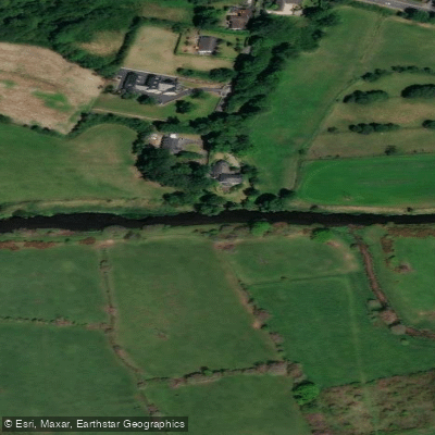
Upper Bann
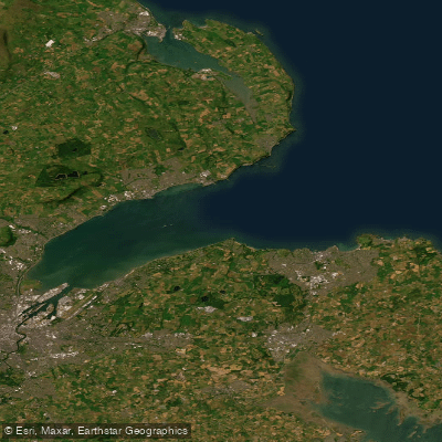
Belfast Lough
Lagan
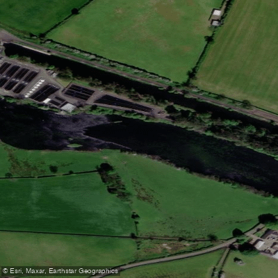
Lower Bann
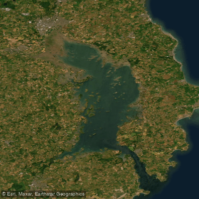
Strangford Lough
Blackwater
Shimna River
North Channel
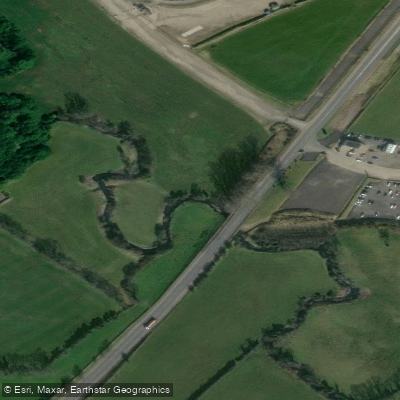
Crumlin
Explore Northern Ireland waters
Top fishing waters
No waters available right now.
Popular Cities
Loading popular cities...
Explore near Lough Neagh
Fish species
Fishing spots
Nearby waters
More in Northern Ireland

Smarter Fishing Starts in the App.
onWater Fish gives you everything you need to plan smarter, fish better, and own every trip from first cast to last.