River Welland
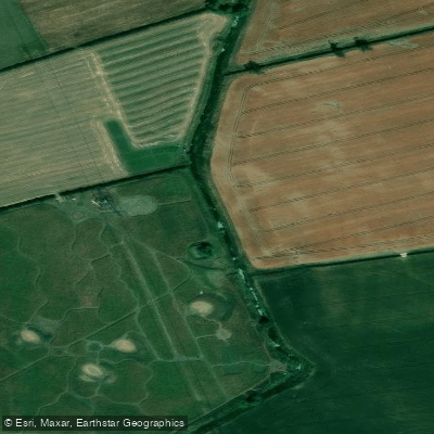
River Welland
- Boat Ramps
- 0
- Access Points
- 1
- Species
- 19
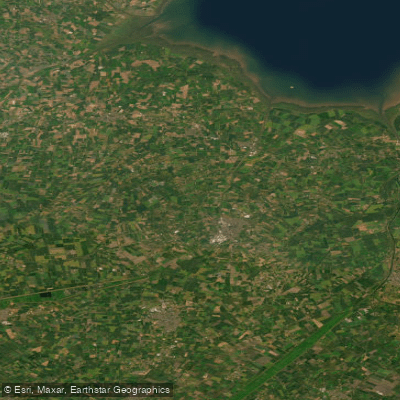
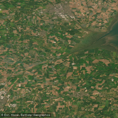
The River Welland is a lowland river stretching approximately 65 miles (105 km) through the east of England, rising in the Hothorpe Hills near Sibbertoft in Northamptonshire at an elevation of 157 metres (515 ft) and flowing generally northeast through Market Harborough, Stamford, and Spalding before emptying into The Wash near Fosdyke in Lincolnshire. Draining a basin of roughly 1,580 km², the Welland passes through Cambridgeshire, Northamptonshire, Leicestershire, Rutland, and Lincolnshire, making it one of the significant Fenland rivers of eastern England. The lower river is a major waterway through the part of the Fens known as South Holland, where it runs between widely spaced embankments with washlands designed to accommodate floodwaters. The river has been extensively managed for flood defence, including dredging and the construction of the Coronation Channel near Spalding following the floods of 1947. The upper and middle reaches, particularly around Stamford, offer more intimate fishing with classic lowland river character, while the lower reaches take on the broad, flat character typical of Fenland drainage rivers.
Species & education
Learn what type of fish are at River Welland and what's needed to catch them.

Find which waters have the species you want to catch

Barbel
Barbus barbus

Bleak
Alburnus alburnus

Brown Trout
Salmo trutta

Common Bream
Abramis brama

Common Carp
Cyprinus carpio

Common Dace
Leuciscus leuciscus

Common Gudgeon
Gobio gobio

Common Roach
Rutilus rutilus

Crucian Carp
Carassius carassius

Eurasian Pikeperch
Sander lucioperca

European Eel
Anguilla anguilla

European Grayling
Thymallus thymallus

European Perch
Perca fluviatilis

Northern Pike
Esox lucius

Rainbow Trout
Oncorhynchus mykiss

Rudd
Scardinius erythrophthalmus

Ruffe
Gymnocephalus cernua

Silver Bream
Blicca bjoerkna

Tench
Tinca tinca
Fishing spots, boat ramps & amenities
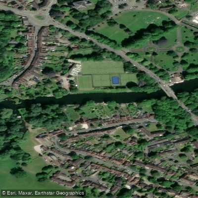
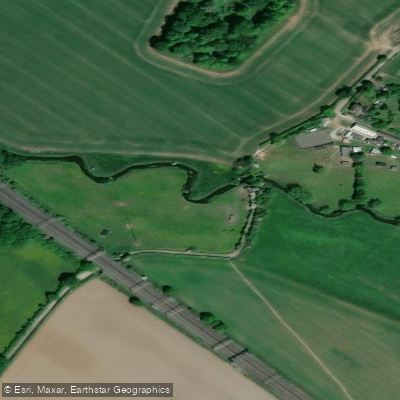
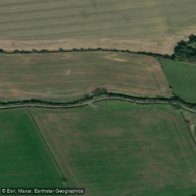
Learn how to get on River Welland. Uncover great fishing access points, boat ramps, and all the facilities you need for an unforgettable day on the water. Some locations shown may border or include private property. Always check property boundaries and applicable regulations before visiting. onWater's Public & Private Land layer can help you plan your access with confidence.
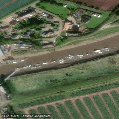
Know where you can legally fish on River Welland
See public and private land boundaries along the water, turn on private parcels with owner details to know where permission is required, and find land-trust parcels that offer permitted fishing access.
England licenses and regulations

England Boating Regulations
Canal & River Trust is the navigation authority for most inland canals and rivers in England and Wales, covering boat licences, registration, and rules of navigation. For coastal/sea boating the national Maritime & Coastguard Agency guidance applies instead.

England Fishing License
An Environment Agency rod fishing licence is required to fish for salmon, trout, freshwater fish, smelt or eel in England. Buy a short-term or annual licence online via GOV.UK; junior licences are free but must be registered.

England Fishing Regulations
The official Environment Agency freshwater rod-fishing byelaws for England: close seasons, size and catch limits, permitted baits and methods, and rod limits. These apply in addition to holding a rod licence.

England Stream Access Laws
Closest official page on public access to land and water in England. Note there is no general public right to fish - fishing rights are privately owned, so you need the owner's or club's permission or a permit even where access on foot exists.
Take River Welland with you
The onWater Fish app keeps this water's access points, species and conditions in your pocket, with the tools you use once you're there.
Use the map without signal
Download the map around River Welland to use it offline when coverage drops.
Log your catches here
Keep a private fishing journal for River Welland to find where and when fish are biting for you.
Get the onWater Fish app
Free on iOS and Android
Water and weather conditions (10 day forecast)
See the best times to fish River Welland and check the forecast before you go.
West Deeping
All Flow Stations
Fishing near River Welland
Explore England waters
Top fishing waters
No waters available right now.
Popular Cities
Loading popular cities...
Explore near River Welland
Fish species
Fishing spots
Nearby waters
More in England

Smarter Fishing Starts in the App.
onWater Fish gives you everything you need to plan smarter, fish better, and own every trip from first cast to last.