River Taw
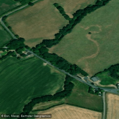
River Taw
- Boat Ramps
- 1
- Access Points
- 0
- Species
- 5
The River Taw is one of Devon's most celebrated game fishing rivers, distinguished by its remarkable catchment that stretches across both of the county's great moorlands — Dartmoor and Exmoor — making it unique among Devon's rivers. Rising at Taw Head, a spring on the central northern flanks of Dartmoor, the river flows approximately 45 miles northward through the rolling Devon countryside, passing through small towns and villages before reaching the town of Barnstaple and emptying into Barnstaple Bay in the Bristol Channel. The lower river forms a broad estuary of wide meanders that joins with the estuary of the River Torridge at its western end. The river becomes tidal at Newbridge, approximately 12 miles from the sea. Fed by tributaries including the Lapford Yeo, the Little Dart River, and the River Mole — which itself drains upland Exmoor — the Taw grows considerably in size through its middle course, transforming into a full season-round salmon, sea trout, and brown trout fishery. The river flows through strongly agricultural land, with a rolling valley landscape that gives way to moorland in the headwaters. Its clear, fast-flowing currents and varied character make it one of Devon's premier angling destinations.
Species & education
Learn what type of fish are at River Taw and what's needed to catch them.

Find which waters have the species you want to catch

Atlantic Salmon
Salmo salar

Brown Trout
Salmo trutta

Common Dace
Leuciscus leuciscus

Common Gudgeon
Gobio gobio

European Eel
Anguilla anguilla
Fishing spots, boat ramps & amenities
Learn how to get on River Taw. Uncover great fishing access points, boat ramps, and all the facilities you need for an unforgettable day on the water. Some locations shown may border or include private property. Always check property boundaries and applicable regulations before visiting. onWater's Public & Private Land layer can help you plan your access with confidence.
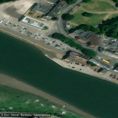
Know where you can legally fish on River Taw
See public and private land boundaries along the water, turn on private parcels with owner details to know where permission is required, and find land-trust parcels that offer permitted fishing access.
England licenses and regulations

England Boating Regulations
Canal & River Trust is the navigation authority for most inland canals and rivers in England and Wales, covering boat licences, registration, and rules of navigation. For coastal/sea boating the national Maritime & Coastguard Agency guidance applies instead.

England Fishing License
An Environment Agency rod fishing licence is required to fish for salmon, trout, freshwater fish, smelt or eel in England. Buy a short-term or annual licence online via GOV.UK; junior licences are free but must be registered.

England Fishing Regulations
The official Environment Agency freshwater rod-fishing byelaws for England: close seasons, size and catch limits, permitted baits and methods, and rod limits. These apply in addition to holding a rod licence.

England Stream Access Laws
Closest official page on public access to land and water in England. Note there is no general public right to fish - fishing rights are privately owned, so you need the owner's or club's permission or a permit even where access on foot exists.
Take River Taw with you
The onWater Fish app keeps this water's access points, species and conditions in your pocket, with the tools you use once you're there.
Use the map without signal
Download the map around River Taw to use it offline when coverage drops.
Log your catches here
Keep a private fishing journal for River Taw to find where and when fish are biting for you.
Get the onWater Fish app
Free on iOS and Android
Water and weather conditions (10 day forecast)
See the best times to fish River Taw and check the forecast before you go.
Newnham Bridge
All Flow Stations
Fishing near River Taw
River Avan
River Taff
Bristol Channel Outer North
River Thaw
Rhymney River

Bristol Channel
Afon Tawe
Afon Rhondda
Bristol Channel Inner North
Ebbw River
Explore England waters
Top fishing waters
No waters available right now.
Popular Cities
Loading popular cities...
Explore near River Taw

Smarter Fishing Starts in the App.
onWater Fish gives you everything you need to plan smarter, fish better, and own every trip from first cast to last.