River Camel
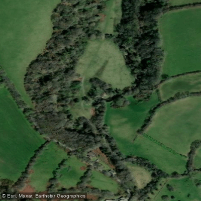
River Camel
- Boat Ramps
- 0
- Access Points
- 0
- Species
- 5
The River Camel — known in Cornish as Dowr Kammel, meaning "the crooked river" — is one of Cornwall's finest and most storied fishing rivers, winding approximately 30 miles (50 km) from its source on the windswept heights of Bodmin Moor down through granite, sandstone, slate, and clay to empty into Padstow Bay in the eastern Celtic Sea, between Stepper Point and Pentire Point. As the second longest river wholly within Cornwall, the Camel drains much of North Cornwall through an extensive catchment that includes several tributaries and the River Allen. The river's character shifts dramatically along its course — from clean, fast-flowing, oligotrophic upland waters with stony bottoms on the moor, through wooded lowland reaches, to a tidal estuary influenced by the sea from Egloshayle downstream to Padstow. It is designated a Special Area of Conservation (SAC) and is internationally recognized for its Atlantic salmon, sea trout, sea lamprey, otters, and bullhead populations. The fishing season runs from 1 May to 15 December, and the river draws anglers from across the UK and beyond for its salmon and sea trout fishing in particular.
Species & education
Learn what type of fish are at River Camel and what's needed to catch them.

Find which waters have the species you want to catch

Allis Shad
Alosa alosa

Atlantic Salmon
Salmo salar

Brown Trout
Salmo trutta

European Eel
Anguilla anguilla

Rainbow Trout
Oncorhynchus mykiss
Fishing spots, boat ramps & amenities
Learn how to get on River Camel. Uncover great fishing access points, boat ramps, and all the facilities you need for an unforgettable day on the water. Some locations shown may border or include private property. Always check property boundaries and applicable regulations before visiting. onWater's Public & Private Land layer can help you plan your access with confidence.
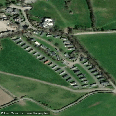
Know where you can legally fish on River Camel
See public and private land boundaries along the water, turn on private parcels with owner details to know where permission is required, and find land-trust parcels that offer permitted fishing access.
England licenses and regulations

England Boating Regulations
Canal & River Trust is the navigation authority for most inland canals and rivers in England and Wales, covering boat licences, registration, and rules of navigation. For coastal/sea boating the national Maritime & Coastguard Agency guidance applies instead.

England Fishing License
An Environment Agency rod fishing licence is required to fish for salmon, trout, freshwater fish, smelt or eel in England. Buy a short-term or annual licence online via GOV.UK; junior licences are free but must be registered.

England Fishing Regulations
The official Environment Agency freshwater rod-fishing byelaws for England: close seasons, size and catch limits, permitted baits and methods, and rod limits. These apply in addition to holding a rod licence.

England Stream Access Laws
Closest official page on public access to land and water in England. Note there is no general public right to fish - fishing rights are privately owned, so you need the owner's or club's permission or a permit even where access on foot exists.
Take River Camel with you
The onWater Fish app keeps this water's access points, species and conditions in your pocket, with the tools you use once you're there.
Use the map without signal
Download the map around River Camel to use it offline when coverage drops.
Log your catches here
Keep a private fishing journal for River Camel to find where and when fish are biting for you.
Get the onWater Fish app
Free on iOS and Android
Water and weather conditions (10 day forecast)
See the best times to fish River Camel and check the forecast before you go.
Denby
All Flow Stations
Fishing near River Camel
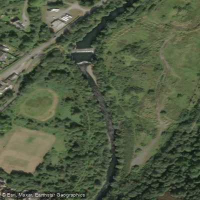
Afon Tawe
River Avan

Bristol Channel
Afon Llwchwr
Afon Lliw
Bristol Channel Outer North
Gwendraeth Fawr
Afon Lliedi
Swansea Bay
Afon Tywi
Explore England waters
Top fishing waters
No waters available right now.
Popular Cities
Loading popular cities...
Explore near River Camel

Smarter Fishing Starts in the App.
onWater Fish gives you everything you need to plan smarter, fish better, and own every trip from first cast to last.