Bathurst Basin
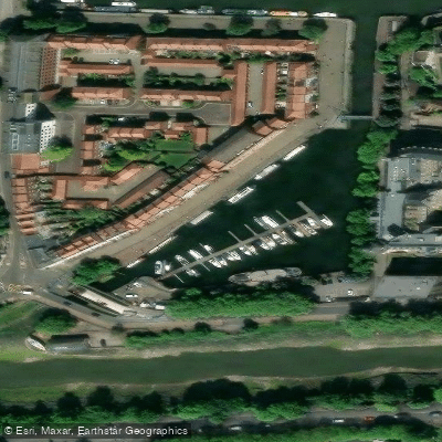
Bathurst Basin
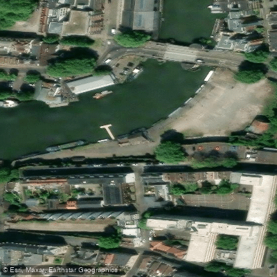
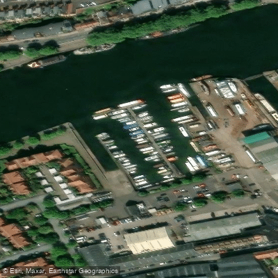
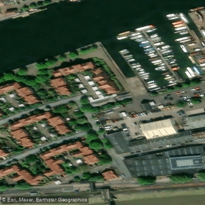
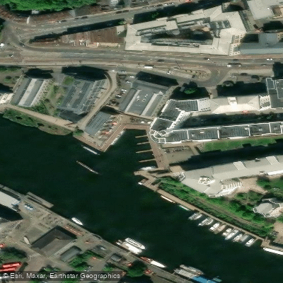
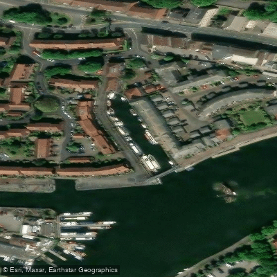
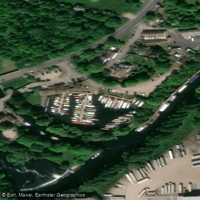
Bathurst Basin is a small triangular basin on the south side of Bristol's Floating Harbour, situated between Redcliffe Bridge and Prince Street Bridge. It takes its name from Charles Bathurst, a Bristol MP in the early 19th century.
Originally it served as a connection to the Avon New Cut for small vessels, but that connection is now closed and the basin functions as a small marina.
As a canoe access point on the River Avon, the basin is documented in local paddling guides alongside other launch sites such as Gaol Ferry Slipway and Underfall Bank. Access involves ascending a ladder on the left side of the basin entrance.
A manually operated swing footbridge — swung by hydraulic pump action — crosses the northern entrance to the basin, replacing an earlier bascule bridge that once carried the Bristol Harbour Railway.
More ways to access River Avon
Explore the wonders of River Avon! Find excellent fishing spots, easy access to boat ramps, and all the amenities you need for a memorable day by the water. Your adventure starts here.
Water and weather conditions (10 day forecast)
Check the forecast at Bathurst Basin before you go fishing.
No forecast data available.
Fishing near Bathurst Basin
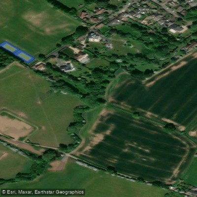
River Frome
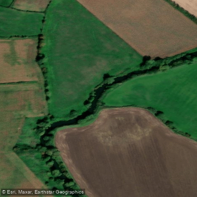
River Avon
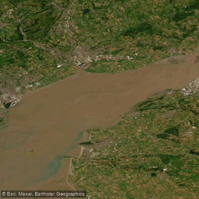
Severn Lower
River Chew
Afon Gwy

Bristol Channel
Congresbury Yeo
Wellow Brook
SEVERN MIDDLE
Afon Hafren
England licenses and regulations
Explore England waters
Top fishing waters
No waters available right now.
Popular Cities
Loading popular cities...
Explore near Bathurst Basin
On this water
Nearby spots
Nearby waters
More in England

Smarter Fishing Starts in the App.
onWater Fish gives you everything you need to plan smarter, fish better, and own every trip from first cast to last.