Grimwith Reservoir
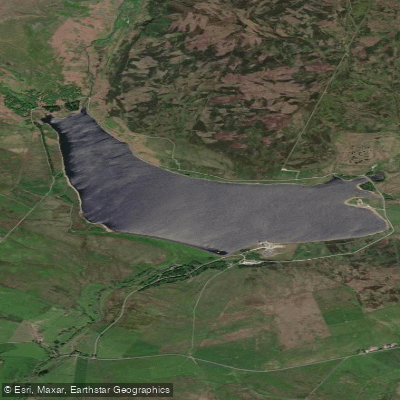
Grimwith Reservoir
- Boat Ramps
- 0
- Access Points
- 1
- Species
- 1
Grimwith Reservoir sits within the scenic Yorkshire Dales in North Yorkshire, England, positioned at an elevation of 308 metres (1,010 feet) above sea level. As Yorkshire Water's largest reservoir in terms of water storage, it holds an impressive 21,772,000 cubic metres of water across a surface area of 1.47 square kilometres. The reservoir is fed by several becks including Blea Beck, Gate Up Gill, and Grimwith Beck, with its outflow draining into the River Dibb. Located 1.5 miles east of Hebden and approximately 8 miles west of Pateley Bridge, the reservoir is accessible via the B6265 road and sits near the villages of Appletreewick, Burnsall, Hartlington, Hebden, and Skyreholme.
Species & education
Learn what type of fish are at Grimwith Reservoir and what's needed to catch them.

Find which waters have the species you want to catch

European Grayling
Thymallus thymallus
Fishing spots, boat ramps & amenities
Learn how to get on Grimwith Reservoir. Uncover great fishing access points, boat ramps, and all the facilities you need for an unforgettable day on the water. Some locations shown may border or include private property. Always check property boundaries and applicable regulations before visiting. onWater's Public & Private Land layer can help you plan your access with confidence.
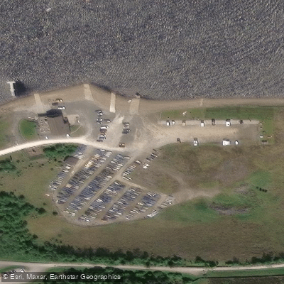
Know where you can legally fish on Grimwith Reservoir
See public and private land boundaries along the water, turn on private parcels with owner details to know where permission is required, and find land-trust parcels that offer permitted fishing access.
England licenses and regulations

England Boating Regulations
Canal & River Trust is the navigation authority for most inland canals and rivers in England and Wales, covering boat licences, registration, and rules of navigation. For coastal/sea boating the national Maritime & Coastguard Agency guidance applies instead.

England Fishing License
An Environment Agency rod fishing licence is required to fish for salmon, trout, freshwater fish, smelt or eel in England. Buy a short-term or annual licence online via GOV.UK; junior licences are free but must be registered.

England Fishing Regulations
The official Environment Agency freshwater rod-fishing byelaws for England: close seasons, size and catch limits, permitted baits and methods, and rod limits. These apply in addition to holding a rod licence.

England Stream Access Laws
Closest official page on public access to land and water in England. Note there is no general public right to fish - fishing rights are privately owned, so you need the owner's or club's permission or a permit even where access on foot exists.
Take Grimwith Reservoir with you
The onWater Fish app keeps this water's access points, species and conditions in your pocket, with the tools you use once you're there.
Use the map without signal
Download the map around Grimwith Reservoir to use it offline when coverage drops.
Log your catches here
Keep a private fishing journal for Grimwith Reservoir to find where and when fish are biting for you.
HD depth charts from Garmin
Find drop offs, ledges, channels, points and shallow flats with Garmin depth charts in the app.
Get the onWater Fish app
Free on iOS and Android
Water and weather conditions (10 day forecast)
See the best times to fish Grimwith Reservoir and check the forecast before you go.
Grimwith
Fishing near Grimwith Reservoir
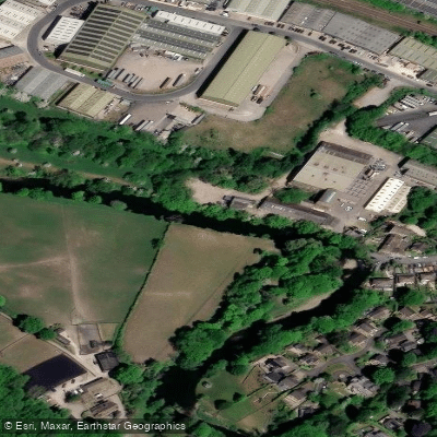
River Aire
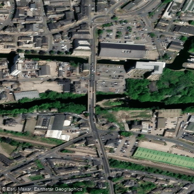
River Calder

HUMBER UPPER
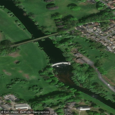
River Wharfe
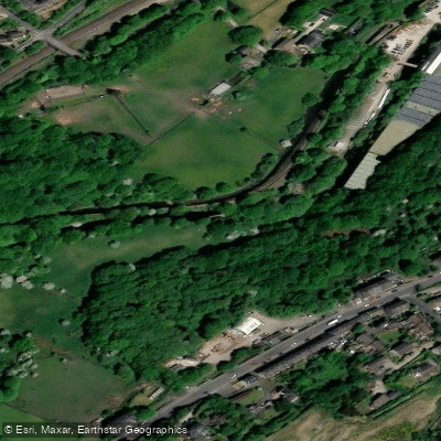
River Colne
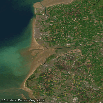
RIBBLE
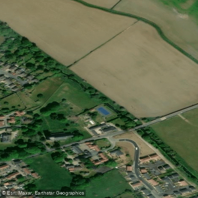
Crimple Beck

River Dearne

HUMBER MIDDLE
River Roch
Explore England waters
Top fishing waters
No waters available right now.
Popular Cities
Loading popular cities...
Explore near Grimwith Reservoir
Fish species
Fishing spots
Nearby waters
More in England

Smarter Fishing Starts in the App.
onWater Fish gives you everything you need to plan smarter, fish better, and own every trip from first cast to last.