Parish Staithe
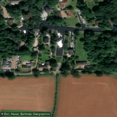
Parish Staithe
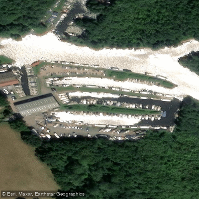
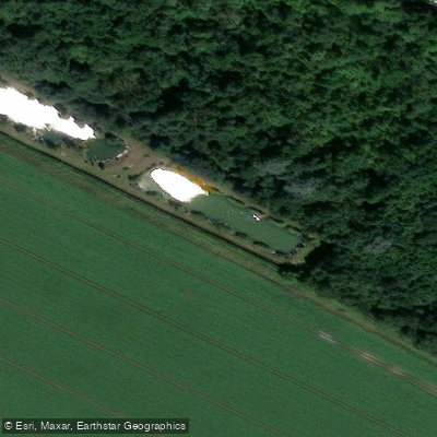
Parish Staithe is a public boat ramp and mooring area located on Lime Kiln Dyke, an inlet branching from the south side of the dyke at the point where navigation becomes impractical for larger vessels.
The staithe is managed by the local parish council and can accommodate around a dozen boats. Historical records shed little light on its origins.
Neither the Neatishead enclosure award of 1811/13 nor the tithe apportionment maps make any reference to a public staithe here, and the land was formerly a small privately owned field.
Ordnance Survey maps indicate the inlet itself was likely dug in the 1960s, suggesting the staithe is a relatively modern addition to the Broads network rather than a traditional historic landing place.
Nearby points of interest
Find excellent fishing spots, easy access to boat ramps, and all the amenities you need for a memorable day. Your adventure starts here.
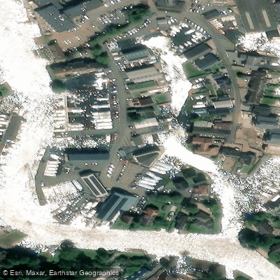
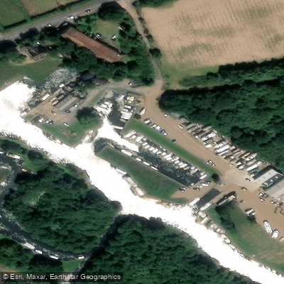
Water and weather conditions (10 day forecast)
Check the forecast at Parish Staithe before you go fishing.
No forecast data available.
Fishing near Parish Staithe
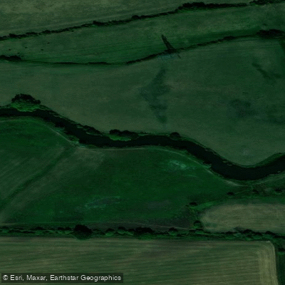
River Thames
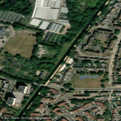
New River
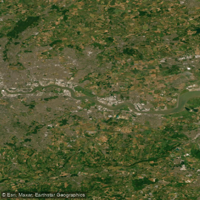
THAMES MIDDLE
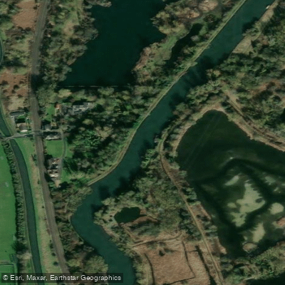
River Lea
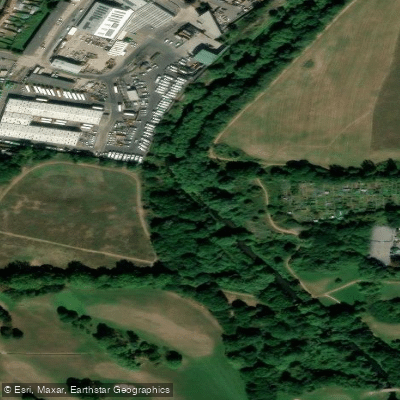
River Brent
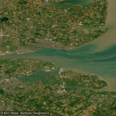
THAMES LOWER
River Roding
River Mole
MEDWAY
Pymme's Brook
England licenses and regulations
Explore England waters
Top fishing waters
No waters available right now.
Popular Cities
Loading popular cities...
Explore near Parish Staithe
Nearby spots
Nearby waters
More in England

Smarter Fishing Starts in the App.
onWater Fish gives you everything you need to plan smarter, fish better, and own every trip from first cast to last.