Bedford Basin
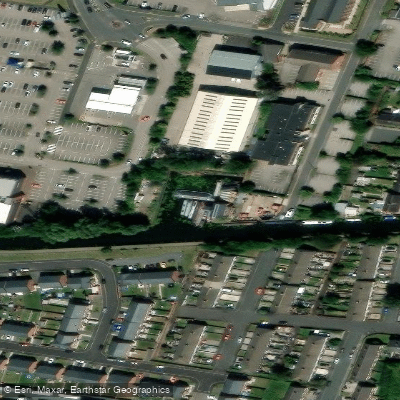
Bedford Basin
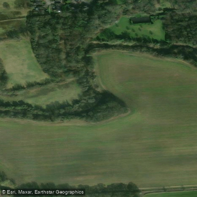
Bedford Basin sits at the western end of the Bridgewater Canal's Leigh stretch, marking the boundary of the canal's Bridgewater Canal Conservation Area as defined by Wigan Council.
The basin extends eastward toward Butts Bridge, passing through a corridor that includes historic mill buildings along the north bank.
The site has industrial roots dating to the 1860s, when the Fletcher family constructed Bedford Basin with facilities for loading coal, connecting it to local colliery operations by private railway.
Today it serves as a recognizable landmark and access point along this privately owned waterway, which offers paddlers and boaters a largely flat, navigable route through the area.
Nearby points of interest
Find excellent fishing spots, easy access to boat ramps, and all the amenities you need for a memorable day. Your adventure starts here.
Water and weather conditions (10 day forecast)
Check the forecast at Bedford Basin before you go fishing.
No forecast data available.
Fishing near Bedford Basin
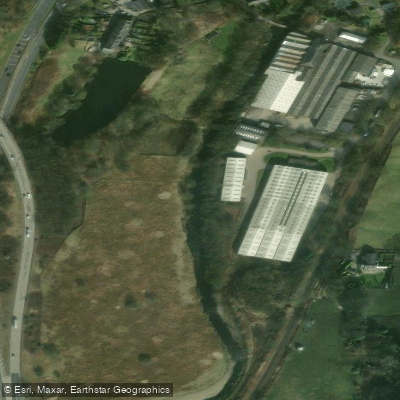
River Irwell
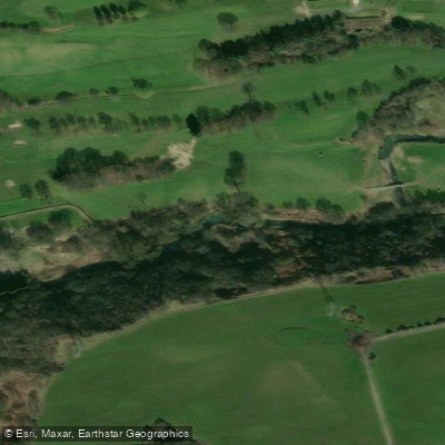
River Medlock

MERSEY
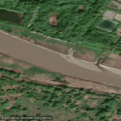
River Mersey
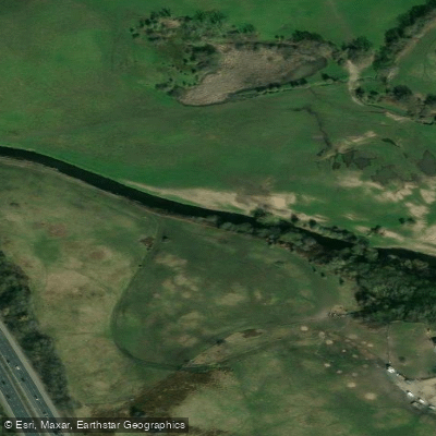
River Tame
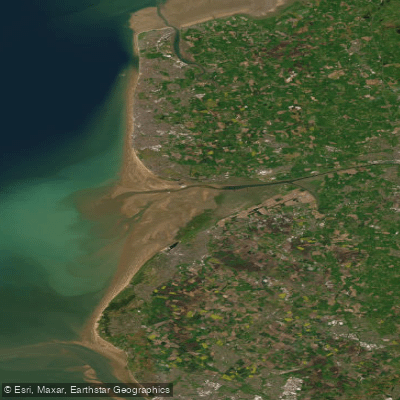
RIBBLE
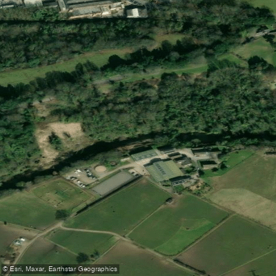
River Goyt
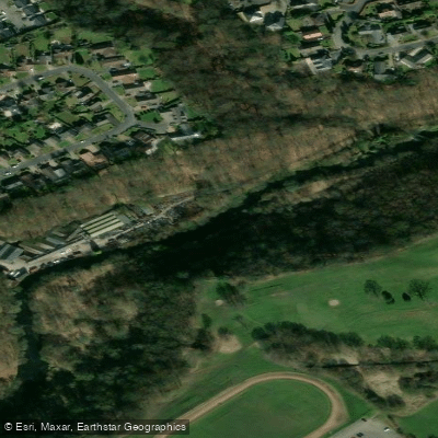
River Roch
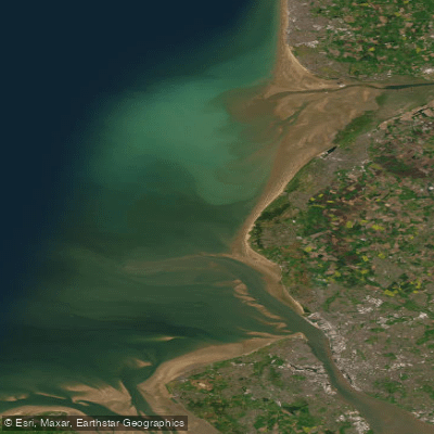
Mersey Mouth
River Bollin
England licenses and regulations
Explore England waters
Top fishing waters
No waters available right now.
Popular Cities
Loading popular cities...
Explore near Bedford Basin
Nearby spots
Nearby waters
More in England

Smarter Fishing Starts in the App.
onWater Fish gives you everything you need to plan smarter, fish better, and own every trip from first cast to last.