Quebrada Arroyo Sencata
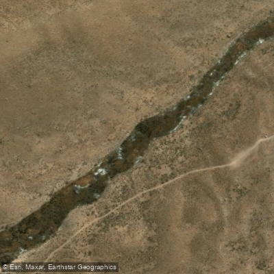
Quebrada Arroyo Sencata
- Boat Ramps
- 0
- Access Points
- 0
- Species
- 0
Quebrada Arroyo Sencata is a high-altitude stream located in the Tarapacá Region of Chile, flowing through one of the most remote and dramatic landscapes in South America. The stream originates in the altiplano and initially flows eastward before turning southward, running nearly parallel to the international border until it empties into the Río Todos Santos just before that river crosses into Bolivia. As the principal tributary of the Río Todos Santos, the Arroyo Sencata drains a watershed of approximately 350 km², entirely within an endorheic basin that forms part of the greater Titicaca-Desaguadero-Poopó-Salar de Coipasa system. The stream's elevation ranges from a minimum of around 4,103 meters above sea level to a maximum of 5,616 meters, with a mean elevation of approximately 4,550 meters — placing it firmly in the puna and high-altitude wetland zone characteristic of this part of northern Chile. The geography is stark and expansive, defined by volcanic peaks, open grasslands, and the thin, clear air of the Andean altiplano.
Species & education
Learn what type of fish are at Quebrada Arroyo Sencata and what's needed to catch them.
No species information available.
Fishing spots, boat ramps & amenities
Learn how to get on Quebrada Arroyo Sencata. Uncover great fishing access points, boat ramps, and all the facilities you need for an unforgettable day on the water. Some locations shown may border or include private property. Always check property boundaries and applicable regulations before visiting. onWater's Public & Private Land layer can help you plan your access with confidence.
The confluence of Arroyo Sencata with the Río Todos Santos represents a natural focal point of interest, as tributary confluences typically concentrate fish. The southward-flowing lower section of the stream, running parallel to the international border, offers the most accessible terrain within the drainage.
Know where you can legally fish on Quebrada Arroyo Sencata
See public and private land boundaries along the water, turn on private parcels with owner details to know where permission is required, and find land-trust parcels that offer permitted fishing access.
Tarapacá licenses and regulations
No licenses or regulations available for Tarapacá.
Take Quebrada Arroyo Sencata with you
The onWater Fish app keeps this water's access points, species and conditions in your pocket, with the tools you use once you're there.
Use the map without signal
Download the map around Quebrada Arroyo Sencata to use it offline when coverage drops.
Log your catches here
Keep a private fishing journal for Quebrada Arroyo Sencata to find where and when fish are biting for you.
Get the onWater Fish app
Free on iOS and Android
Water and weather conditions (10 day forecast)
See the best times to fish Quebrada Arroyo Sencata and check the forecast before you go.
No forecast data available.
Fishing near Quebrada Arroyo Sencata
Quebrada Casoxalla
Quebrada Siso
Quebrada Caytri
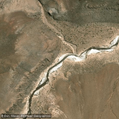
Quebrada Pachixa
Quebrada Escapiña
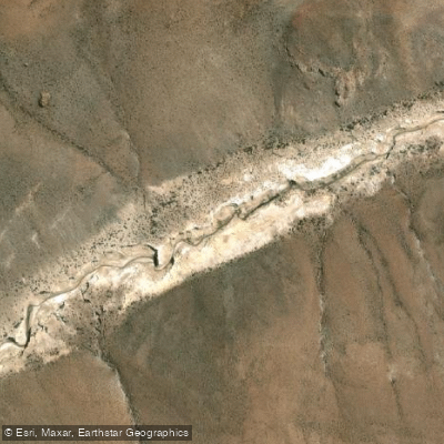
Quebrada Guarcaqua
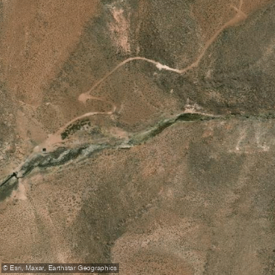
Quebrada Toroni
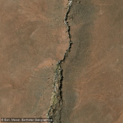
Quebrada De Macurquima
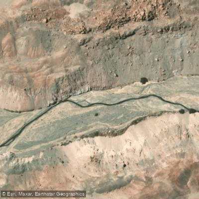
Quebrada De Aroma
Explore Tarapacá waters
Top fishing waters
No waters available right now.
Popular Cities
Loading popular cities...
Explore near Quebrada Arroyo Sencata

Smarter Fishing Starts in the App.
onWater Fish gives you everything you need to plan smarter, fish better, and own every trip from first cast to last.