Quebrada De Aroma
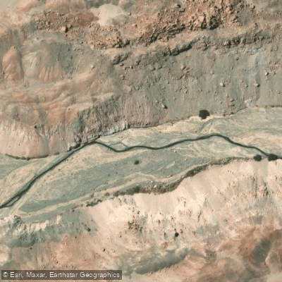
Quebrada De Aroma
- Boat Ramps
- 0
- Access Points
- 0
- Species
- 0
Quebrada de Aroma is a stream located in the comuna de Huara, Tarapacá Region, Chile, flowing through a dramatic high-desert landscape in one of South America's most remote and arid environments. The stream originates from the overflow waters of Volcán Puchuldiza within Parque Nacional Volcán Isluga and drains a portion of the intermediate depression known as the Pampa del Tamarugal. Along its course, it passes through the sectors of Chiapa and Jaiña before eventually disappearing at the eastern edge of the Pampa del Tamarugal. The watershed covers an impressive 1,891 km², and the stream's flow is primarily dependent on altiplano winter precipitation. Unlike many of its tributaries, which run only intermittently, Quebrada de Aroma maintains a nearly continuous surface flow, making it a relatively consistent water source in an otherwise extremely arid region. The name "Aroma" is of Aymara origin, with interpretations ranging from a word meaning "aroma" to a phrase translating as "bitter or salty water" — a fitting description for a stream born of volcanic terrain in the Atacama Desert zone.
Species & education
Learn what type of fish are at Quebrada De Aroma and what's needed to catch them.
No species information available.
Fishing spots, boat ramps & amenities
Learn how to get on Quebrada De Aroma. Uncover great fishing access points, boat ramps, and all the facilities you need for an unforgettable day on the water. Some locations shown may border or include private property. Always check property boundaries and applicable regulations before visiting. onWater's Public & Private Land layer can help you plan your access with confidence.
Upper Section — Puchuldiza Headwaters: The stream begins near the volcanic geothermal area of Puchuldiza within Parque Nacional Volcán Isluga. This high-elevation headwater zone is characterized by the volcanic and geothermal geology of the Andes altiplano, with water chemistry influenced by the volcanic source.
Middle Section — Chiapa and Jaiña Corridor: As the stream descends through the sectors of Chiapa and Jaiña, it traverses the quebrada (canyon) terrain typical of the Tarapacá Region, cutting through the intermediate depression between the Andes and the coastal ranges.
Lower Section — Pampa del Tamarugal Terminus: The lower reaches of the stream spread into and eventually disappear within the Pampa del Tamarugal, a broad inland basin, where the water is absorbed into the desert floor.
Know where you can legally fish on Quebrada De Aroma
See public and private land boundaries along the water, turn on private parcels with owner details to know where permission is required, and find land-trust parcels that offer permitted fishing access.
Tarapacá licenses and regulations
No licenses or regulations available for Tarapacá.
Take Quebrada De Aroma with you
The onWater Fish app keeps this water's access points, species and conditions in your pocket, with the tools you use once you're there.
Use the map without signal
Download the map around Quebrada De Aroma to use it offline when coverage drops.
Log your catches here
Keep a private fishing journal for Quebrada De Aroma to find where and when fish are biting for you.
Get the onWater Fish app
Free on iOS and Android
Water and weather conditions (10 day forecast)
See the best times to fish Quebrada De Aroma and check the forecast before you go.
No forecast data available.
Fishing near Quebrada De Aroma
Quebrada Camina
Quebrada Retamilla
Quebrada De Nama
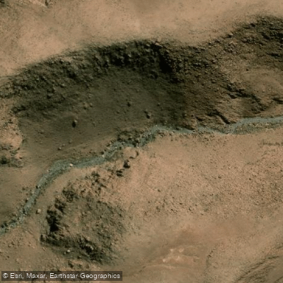
Quebrada Achecague
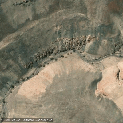
Quebrada Latagualla
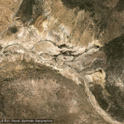
Quebrada Maimaja
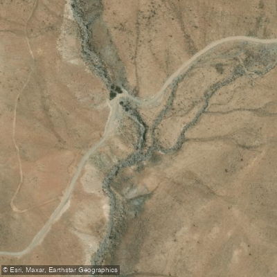
Quebrada Champaja
Quebrada Itapillan
Quebrada Minimini
Explore Tarapacá waters
Top fishing waters
No waters available right now.
Popular Cities
Loading popular cities...
Explore near Quebrada De Aroma

Smarter Fishing Starts in the App.
onWater Fish gives you everything you need to plan smarter, fish better, and own every trip from first cast to last.