Cap Creek
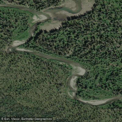
Cap Creek
- Boat Ramps
- 0
- Access Points
- 0
- Species
- 0
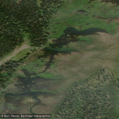
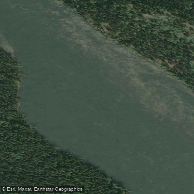
Cap Creek is a clear-water stream flowing approximately 17 miles from the west into the McClintock River, located within the upper Yukon River drainage near Whitehorse, Yukon. The creek runs with notably clear water over a defined bottom substrate, making it a productive and visually appealing fishery in the subarctic landscape of the Yukon Territory. The surrounding riparian environment reflects the boreal character of the region, and the stream's clarity allows anglers to spot fish and read the water effectively.
Species & education
Learn what type of fish are at Cap Creek and what's needed to catch them.
No species information available.
Fishing spots, boat ramps & amenities
Learn how to get on Cap Creek. Uncover great fishing access points, boat ramps, and all the facilities you need for an unforgettable day on the water. Some locations shown may border or include private property. Always check property boundaries and applicable regulations before visiting. onWater's Public & Private Land layer can help you plan your access with confidence.
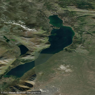
The area approximately three-quarters of a mile downstream of Michie Lake has been identified as a productive stretch, with documented fish diversity including multiple species in close proximity. The confluence of Cap Creek with the McClintock River is another natural focal point, as these junction areas consistently attract fish seeking feeding opportunities and migratory routes. The Michie Lake outlet itself, where the creek transitions from lake to stream habitat, is worth exploring as fish often stage in these transitional zones.
Know where you can legally fish on Cap Creek
See public and private land boundaries along the water, turn on private parcels with owner details to know where permission is required, and find land-trust parcels that offer permitted fishing access.
Yt licenses and regulations
No licenses or regulations available for Yt.
Take Cap Creek with you
The onWater Fish app keeps this water's access points, species and conditions in your pocket, with the tools you use once you're there.
Use the map without signal
Download the map around Cap Creek to use it offline when coverage drops.
Log your catches here
Keep a private fishing journal for Cap Creek to find where and when fish are biting for you.
Get the onWater Fish app
Free on iOS and Android
Water and weather conditions (10 day forecast)
See the best times to fish Cap Creek and check the forecast before you go.
No forecast data available.
Explore Yt waters
Top fishing waters
No waters available right now.
Popular Cities
Loading popular cities...
Explore near Cap Creek

Smarter Fishing Starts in the App.
onWater Fish gives you everything you need to plan smarter, fish better, and own every trip from first cast to last.