Lac Wiyâshâkimî
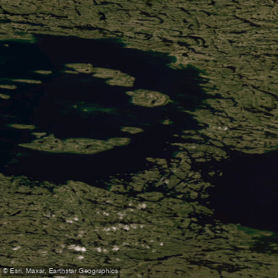
Lac Wiyâshâkimî
- Boat Ramps
- 0
- Access Points
- 0
- Species
- 0
Lac Wiyâshâkimî (formerly known as Lac à l'Eau Claire, or Clearwater Lake) is one of Quebec's most extraordinary and remote fishing destinations, sitting at an elevation of 240 meters in the vast Nunavik wilderness of Nord-du-Québec. As the second largest natural lake in the province, covering an impressive 2,243 km², this ancient water body was formed by a meteorite impact approximately 290 million years ago during the Permian period, resulting in two juxtaposed circular basins measuring 26 and 36 kilometers in diameter respectively. The lake drains westward into Hudson Bay via the Rivière à l'Eau Claire (Clearwater River), which flows approximately 70 km through remote subarctic tundra. The waters are strikingly clear and oligotrophic — nutrient-poor in the way that defines the finest cold-water fisheries of the Canadian Shield — and the surrounding landscape transitions between boreal forest and shrub tundra, with 11 islands arranged in a circular pattern within the western basin. This is a place where the Cree First Nations people have hunted and fished for generations, particularly during spring and autumn, and where true wilderness fishing remains an authentic and deeply rewarding experience.
Species & education
Learn what type of fish are at Lac Wiyâshâkimî and what's needed to catch them.
No species information available.
Fishing spots, boat ramps & amenities
Learn how to get on Lac Wiyâshâkimî. Uncover great fishing access points, boat ramps, and all the facilities you need for an unforgettable day on the water. Some locations shown may border or include private property. Always check property boundaries and applicable regulations before visiting. onWater's Public & Private Land layer can help you plan your access with confidence.
The two circular basins of the lake — the western basin (26 km in diameter) and the larger eastern basin (36 km in diameter) — offer distinct fishing environments. The western basin features 11 islands arranged in a circular pattern, creating a variety of shoreline structure, points, shoals, and sheltered bays that concentrate fish. These island areas are particularly productive for lake trout, as the varied structure provides ambush points and depth transitions. The outlet of the lake, where the Clearwater River begins its westward flow, is a natural gathering point for fish during migration and spawning periods. Depth transitions along the edges of the ancient impact craters create natural structure that lake trout use throughout the season.
Know where you can legally fish on Lac Wiyâshâkimî
See public and private land boundaries along the water, turn on private parcels with owner details to know where permission is required, and find land-trust parcels that offer permitted fishing access.
Qc licenses and regulations
No licenses or regulations available for Qc.
Take Lac Wiyâshâkimî with you
The onWater Fish app keeps this water's access points, species and conditions in your pocket, with the tools you use once you're there.
Use the map without signal
Download the map around Lac Wiyâshâkimî to use it offline when coverage drops.
Log your catches here
Keep a private fishing journal for Lac Wiyâshâkimî to find where and when fish are biting for you.
HD depth charts from Garmin
Find drop offs, ledges, channels, points and shallow flats with Garmin depth charts in the app.
Get the onWater Fish app
Free on iOS and Android
Water and weather conditions (10 day forecast)
See the best times to fish Lac Wiyâshâkimî and check the forecast before you go.
No forecast data available.
Fishing near Lac Wiyâshâkimî
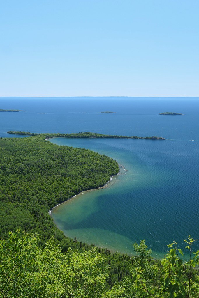
Lac Supérieur
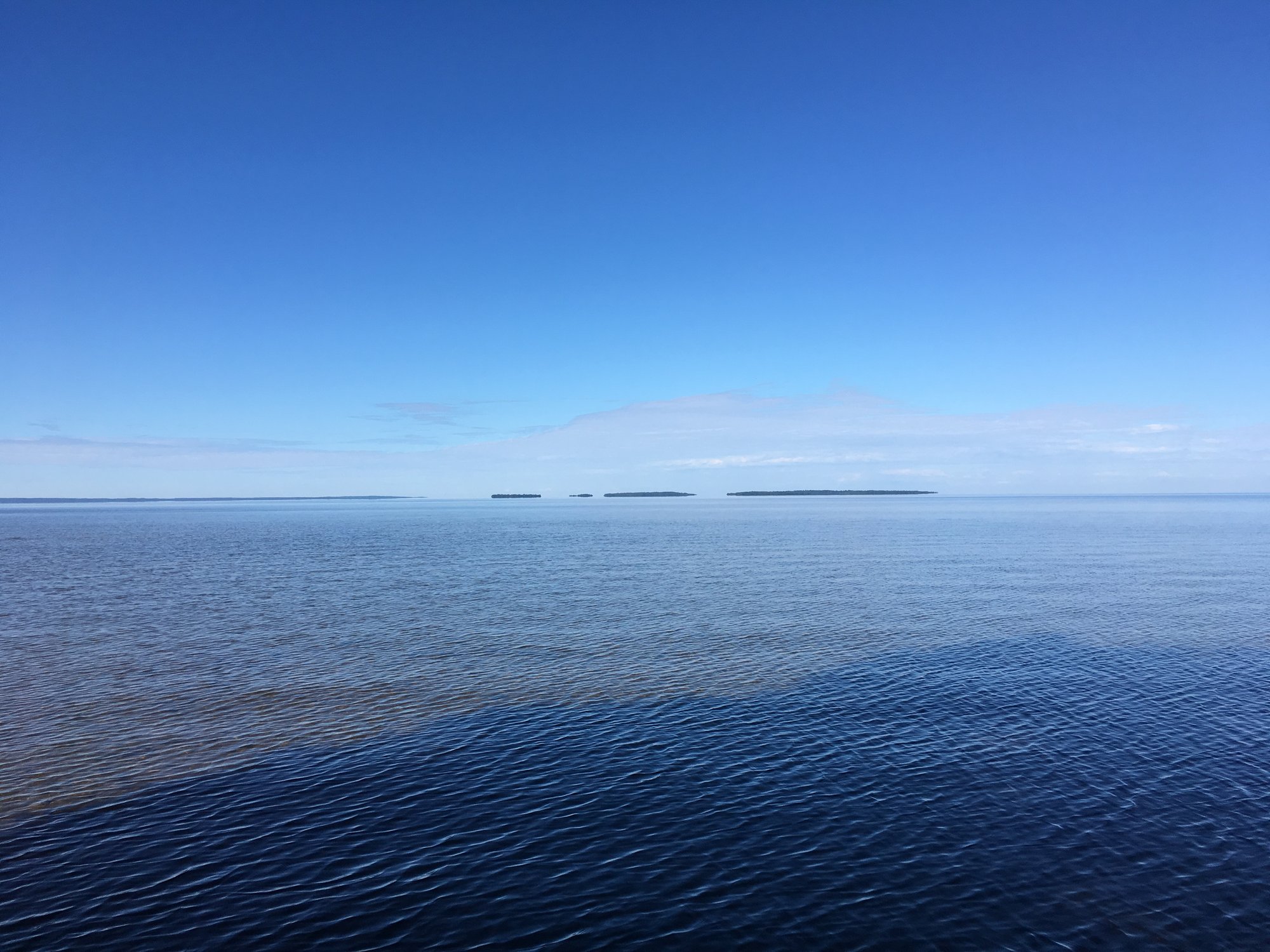
Lac Nipissing
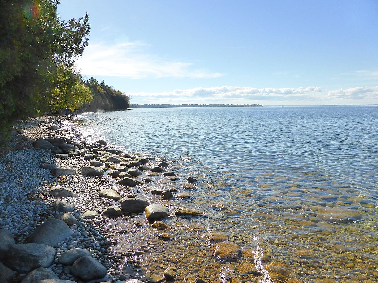
Lake Simcoe
Big Trout Lake
Stephens Lake
Wunnummin Lake
Sturgeon Lake
Lake Temagami
Minnitaki Lake
Pigeon Lake
Explore Qc waters
Top fishing waters
No waters available right now.
Popular Cities
Loading popular cities...
Explore near Lac Wiyâshâkimî

Smarter Fishing Starts in the App.
onWater Fish gives you everything you need to plan smarter, fish better, and own every trip from first cast to last.