Cardigan Bay
- Saltwater
- Bay
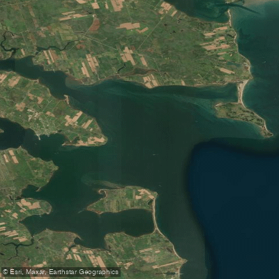
Cardigan Bay
- Saltwater
- Bay
- Sq. miles
- 20
- Boat Ramps
- 0
- Access Points
- 0
- Species
- 3
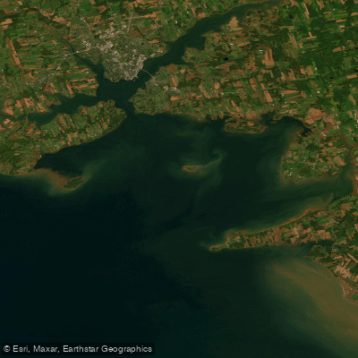
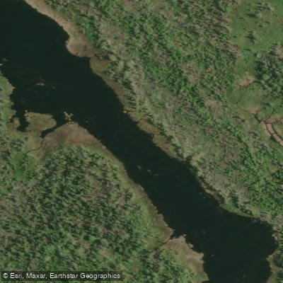
Cardigan Bay on Prince Edward Island is a premier saltwater angling destination, forming a significant estuary where several rivers, including the Cardigan, Brudenell, and Montague, converge with the Gulf of St. Lawrence. This creates a rich, tidal ecosystem teeming with marine life. The bay is central to the region's fishing heritage, offering diverse opportunities from inshore and nearshore boat fishing to shore-based angling. Cardigan Marina serves as a key hub for access, providing full-service moorage and a strategic launch point for charters and private boats exploring the productive grounds of the bay and its interconnected river systems.
Species & education
Learn what type of fish are at Cardigan Bay and what's needed to catch them.

Find which waters have the species you want to catch

Atlantic Tomcod
Microgadus tomcod

Brook Trout
Salvelinus fontinalis
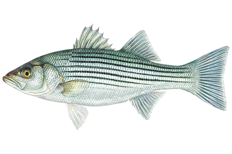
Striped Bass
Morone saxatilis
Fishing spots, boat ramps & amenities
Learn how to get on Cardigan Bay. Uncover great fishing access points, boat ramps, and all the facilities you need for an unforgettable day on the water. Some locations shown may border or include private property. Always check property boundaries and applicable regulations before visiting. onWater's Public & Private Land layer can help you plan your access with confidence.
The confluence of the Cardigan, Brudenell, and Montague rivers with the bay is a major hotspot, offering estuarine habitat. The entrance to Cardigan Bay near Panmure Island and its lighthouse is a picturesque and productive area. The sheltered waters of the bay itself are famed for mackerel blitzes. The long shoreline stretching from Lower Montague to St. Andrews Point provides extensive shore-access opportunities along red sand beaches and shallow waters.
Know where you can legally fish on Cardigan Bay
See public and private land boundaries along the water, turn on private parcels with owner details to know where permission is required, and find land-trust parcels that offer permitted fishing access.
Pe licenses and regulations
No licenses or regulations available for Pe.
Take Cardigan Bay with you
The onWater Fish app keeps this water's access points, species and conditions in your pocket, with the tools you use once you're there.
Use the map without signal
Download the map around Cardigan Bay to use it offline when coverage drops.
Log your catches here
Keep a private fishing journal for Cardigan Bay to find where and when fish are biting for you.
Get the onWater Fish app
Free on iOS and Android
Tides, wind & water conditions (10 day forecast)
On open water, wind and tide matter as much as the weather. See the best times to fish Cardigan Bay and check the marine forecast before you launch.
Loading tide predictions…
Fishing near Cardigan Bay


Explore Pe waters
Top fishing waters
No waters available right now.
Popular Cities
Loading popular cities...
Explore near Cardigan Bay

Smarter Fishing Starts in the App.
onWater Fish gives you everything you need to plan smarter, fish better, and own every trip from first cast to last.