Fishing in Kejimkujik National Park and National Historic Site
- National Park
- Lakes
- 40
- Rivers
- 35
- Access
- 0
- Boat Ramps
- 0
- Shops
- 0
- Species
- 1
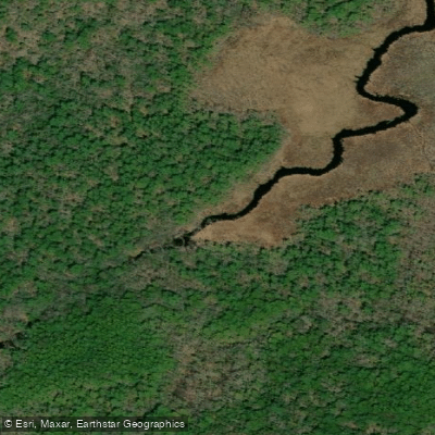
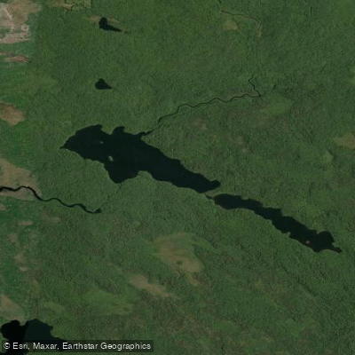
Kejimkujik sits in the interior of southwestern Nova Scotia, a low, forested landscape of dark-water lakes and slow-moving rivers draining through the Mersey watershed.
The park covers 404 square kilometres of that inland terrain, and water is everywhere in it — connected lakes, brooks, and river reaches that the Mi'kmaq have traveled and fished for over 4,000 years.
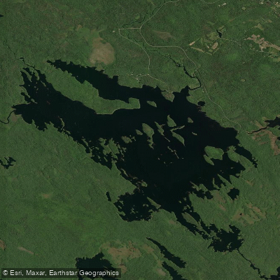
This is the kind of place where you move between waters by canoe as much as by foot. The fishing here centers on brook trout in dark, tannic water. Kejimkujik Lake is the largest body of water in the park and anchors the northern fishing zone.
The Mersey River runs through that same zone, along with Frozen Ocean Lake and Big Dam Lake. These waters fall under a catch-and-release, no-kill rule — every native fish goes back.
In the western and southern reaches, Peskowesk Lake, Peskowesk Brook, Paskawa Lake, and West River are designated fly-fishing-only waters, also catch-and-release for native species. Some waters are closed entirely.
Cobrielle Lake has no fishing of any kind, along with Beaverskin Lake, Pebbleoggitch Lake, Mountain Lake, Rogers Brook, and Grafton Brook. Check the park's current fishing zones map before you go — the boundaries matter here.
The season runs April 1 through August 31. A National Park Fishing Permit is required, issued by Parks Canada, and it comes with an Angler Diary.
That diary is not optional paperwork — researchers use it to track brook trout populations and monitor the spread of chain pickerel, an invasive species that has been moving through the park's waterways since 2018 and has hit trout numbers hard.
If you catch a chain pickerel, mandatory retention applies; it does not go back. Submit your diary at the Visitor Centre at the end of your trip. Lead sinkers and jigs under 50 grams are prohibited in all park waters.
In the fly-fishing zones, barbless hooks are required.
The fishing at Keji has never been simple to separate from everything else the park holds — the petroglyphs along the lakeshores, the canoe routes, the weight of a place that has been fished seriously for millennia.
That context doesn't change how you rig a fly, but it does change how the day feels when you're out on the water.
Top waters to fish near Kejimkujik National Park And National Historic Site
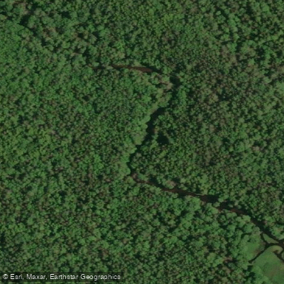
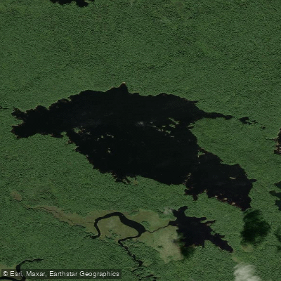
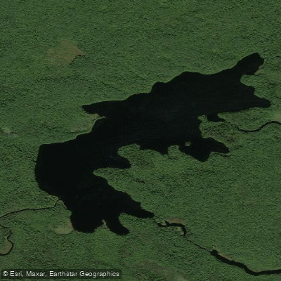
Species & education
Learn what type of fish are in Kejimkujik National Park and National Historic Site and what's needed to catch them.

Find which waters have the species you want to catch

Atlantic Salmon
Salmo salar
Water and weather conditions (10 day forecast)
See the best times to fish Kejimkujik National Park and National Historic Site and check the forecast before you go.
No forecast data available.
Fish smarter with real-time insights
Whether you're en route and conditions shift or you're looking for the best spot based on current flows, we enable you to make informed decisions on the fly.




Fishing near Kejimkujik National Park and National Historic Site
Loading...
Gateway towns
Where to base yourself for fishing in Kejimkujik National Park and National Historic Site.
- Maitland BridgeNova Scotia
The closest community to the inland park entrance, home to outfitters and chalets that serve as the main base for visitors.
- CaledoniaNova Scotia
The nearest village on Highway 8 to the inland park, a common reference point for supplies and access to Kejimkujik.
- KemptNova Scotia
A small community just outside the park boundary on Highway 8 with lodging steps from the inland entrance.
- Port JoliNova Scotia
The access point for Kejimkujik Seaside, the park's separate coastal section with its Atlantic wilderness trails.
Explore Kejimkujik National Park and National Historic Site
Top fishing waters
Popular Cities
Loading popular cities...

Smarter Fishing Starts in the App.
onWater Fish gives you everything you need to plan smarter, fish better, and own every trip from first cast to last.