St. Andrews Channel
- Saltwater
- Channel
St. Andrews Channel
- Saltwater
- Channel
- Sq. miles
- 50
- Boat Ramps
- 0
- Access Points
- 0
- Species
- 5
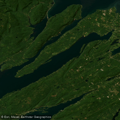
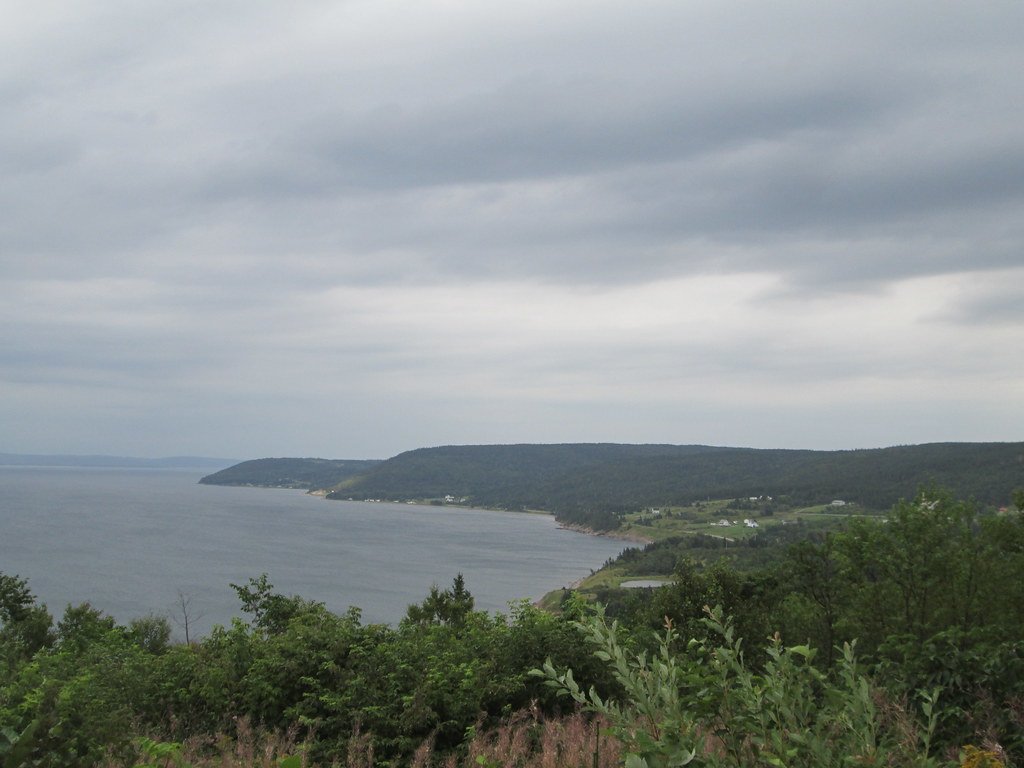
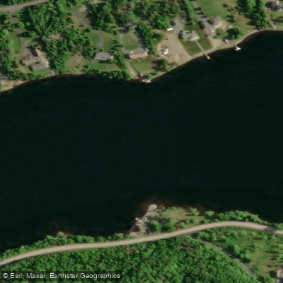
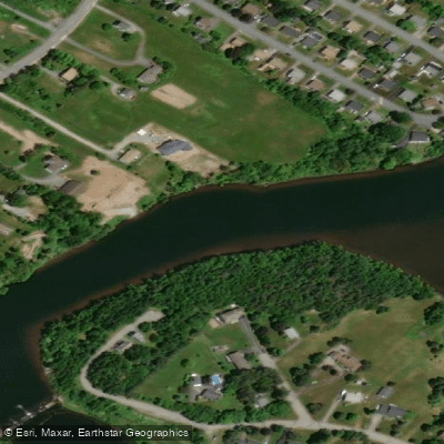
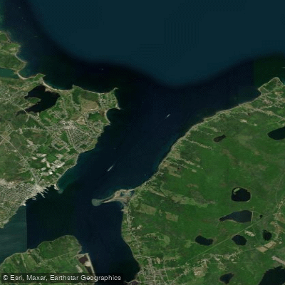
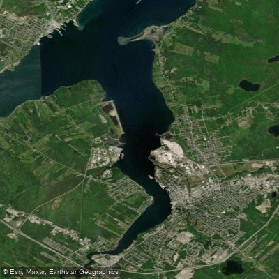
St. Andrews Channel is a major, deep-water arm of the expansive Bras d'Or Lake system on Cape Breton Island. This is a brackish inland sea, where saltwater from the Atlantic Ocean mixes with freshwater from several rivers, creating a unique marine ecosystem. The channel is notably deep, with a maximum depth reaching 287 meters (942 feet) along its central axis, forming a significant underwater basin. It connects to the Atlantic via the narrow, winding Little Bras d'Or Channel to the northeast and is part of a network that includes East Bay and Great Bras d'Or Channel. The water salinity varies but is generally lower than the open ocean, and the restricted connections to the sea result in a reduced tidal range. The surrounding landscape features steep, forested hills rising from the shoreline, contributing to its dramatic, fjord-like character.
Species & education
Learn what type of fish are at St. Andrews Channel and what's needed to catch them.

Find which waters have the species you want to catch

Atlantic Mackerel
Scomber scombrus

Atlantic Salmon
Salmo salar

Brook Trout
Salvelinus fontinalis
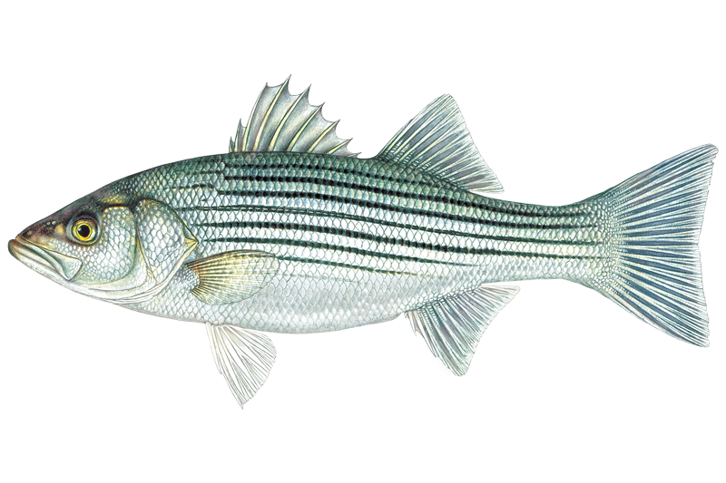
Striped Bass
Morone saxatilis

White Hake
Urophycis tenuis
Fishing spots, boat ramps & amenities
Learn how to get on St. Andrews Channel. Uncover great fishing access points, boat ramps, and all the facilities you need for an unforgettable day on the water. Some locations shown may border or include private property. Always check property boundaries and applicable regulations before visiting. onWater's Public & Private Land layer can help you plan your access with confidence.
The most prominent feature is the deep central basin running the length of the channel. The areas where St. Andrews Channel meets other parts of the system—such as the entrance from Little Bras d'Or Channel and the confluence with East Bay—are natural funnels and likely productive fishing grounds. The dramatic depth changes along the steep shoreline walls and the deep basin itself are key areas to target for species like cod and trout.
Know where you can legally fish on St. Andrews Channel
See public and private land boundaries along the water, turn on private parcels with owner details to know where permission is required, and find land-trust parcels that offer permitted fishing access.
Ns licenses and regulations

Nova Scotia Boating Regulations
This page explains what a Pleasure Craft License is, who needs one, how to apply for one, and how to keep your information up to date.

Nova Scotia Fishing License
Official Government of Nova Scotia page to learn about and buy a recreational sportfishing (General Fishing) licence — who needs one, licence types (seasonal and 1-day), fees, and how to apply online or through vendors.

Nova Scotia Fishing Regulations
Nova Scotia's official recreational sportfishing laws and regulations, linking the current Anglers' Handbook and the Maritime Provinces Fishery Regulations covering seasons, bag and size limits, gear rules, and where you can fish.
Take St. Andrews Channel with you
The onWater Fish app keeps this water's access points, species and conditions in your pocket, with the tools you use once you're there.
Use the map without signal
Download the map around St. Andrews Channel to use it offline when coverage drops.
Log your catches here
Keep a private fishing journal for St. Andrews Channel to find where and when fish are biting for you.
Get the onWater Fish app
Free on iOS and Android
Tides, wind & water conditions (10 day forecast)
On open water, wind and tide matter as much as the weather. See the best times to fish St. Andrews Channel and check the marine forecast before you launch.
Loading tide predictions…
Explore Ns waters
Top fishing waters
No waters available right now.
Popular Cities
Loading popular cities...
Explore near St. Andrews Channel

Smarter Fishing Starts in the App.
onWater Fish gives you everything you need to plan smarter, fish better, and own every trip from first cast to last.