Queen Charlotte Channel
- Saltwater
- Channel
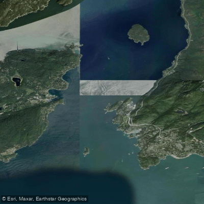
Queen Charlotte Channel
- Saltwater
- Channel
- Sq. miles
- 18
- Boat Ramps
- 0
- Access Points
- 0
- Species
- 12
Queen Charlotte Channel is the primary marine passage leading into Howe Sound, situated between the mainland of West Vancouver and Bowen Island. This significant tidal channel serves as a major navigation route for ferries and commercial shipping while also providing a dynamic and productive inshore saltwater fishery within the Metro Vancouver Regional District. The channel's waters are deep and influenced by strong tidal exchanges, connecting the sheltered waters of Howe Sound to the broader Strait of Georgia.
Species & education
Learn what type of fish are at Queen Charlotte Channel and what's needed to catch them.

Find which waters have the species you want to catch

Black Rockfish
Sebastes melanops

Cabezon
Scorpaenichthys marmoratus

Chinook Salmon
Oncorhynchus tshawytscha

Chum Salmon
Oncorhynchus keta
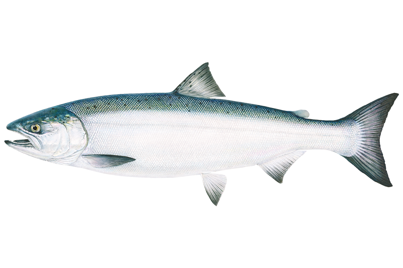
Coho Salmon
Oncorhynchus kisutch

Copper Rockfish
Sebastes caurinus
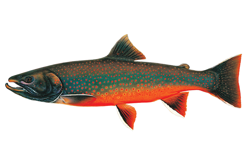
Dolly Varden
Salvelinus malma

Kelp Greenling
Hexagrammos decagrammus

Lingcod
Ophiodon elongatus

Pink Salmon
Oncorhynchus gorbuscha

Quillback Rockfish
Sebastes maliger

Yelloweye Rockfish
Sebastes ruberrimus
Fishing spots, boat ramps & amenities
Learn how to get on Queen Charlotte Channel. Uncover great fishing access points, boat ramps, and all the facilities you need for an unforgettable day on the water. Some locations shown may border or include private property. Always check property boundaries and applicable regulations before visiting. onWater's Public & Private Land layer can help you plan your access with confidence.
Productive fishing is often associated with the channel's bathymetric features. The edges of the main shipping channel, where depth changes abruptly, can hold fish. Areas adjacent to the small islands and islets within the channel, such as Passage Island, can provide current breaks and structure. It is crucial to be aware that several areas within and near the channel are designated as Rockfish Conservation Areas (like McCall Bank) and Glass Sponge Reef closures (like Halibut Bank and Foreslope Hills), where fishing for bottom fish is prohibited or restricted to protect these fragile, slow-growing ecosystems.
Know where you can legally fish on Queen Charlotte Channel
See public and private land boundaries along the water, turn on private parcels with owner details to know where permission is required, and find land-trust parcels that offer permitted fishing access.
Bc licenses and regulations
No licenses or regulations available for Bc.
Take Queen Charlotte Channel with you
The onWater Fish app keeps this water's access points, species and conditions in your pocket, with the tools you use once you're there.
Use the map without signal
Download the map around Queen Charlotte Channel to use it offline when coverage drops.
Log your catches here
Keep a private fishing journal for Queen Charlotte Channel to find where and when fish are biting for you.
Get the onWater Fish app
Free on iOS and Android
Tides, wind & water conditions (10 day forecast)
On open water, wind and tide matter as much as the weather. See the best times to fish Queen Charlotte Channel and check the marine forecast before you launch.
Loading tide predictions…
Fishing near Queen Charlotte Channel

Fleuve Fraser
Capilano River

Burrard Inlet

Lynn Creek

Coquitlam River
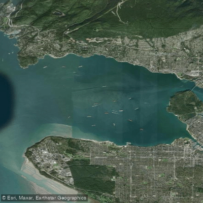
Outer Vancouver Harbour

Pitt River

Serpentine River
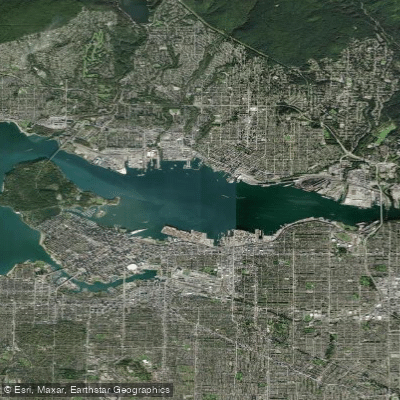
Inner Vancouver Harbour

Alouette River
Explore Bc waters
Top fishing waters
No waters available right now.
Popular Cities
Loading popular cities...
Explore near Queen Charlotte Channel
Fish species
Nearby waters
More in Bc

Smarter Fishing Starts in the App.
onWater Fish gives you everything you need to plan smarter, fish better, and own every trip from first cast to last.