Knight Inlet
- Saltwater
- Inlet
Knight Inlet
- Saltwater
- Inlet
- Sq. miles
- 130
- Boat Ramps
- 0
- Access Points
- 0
- Species
- 20
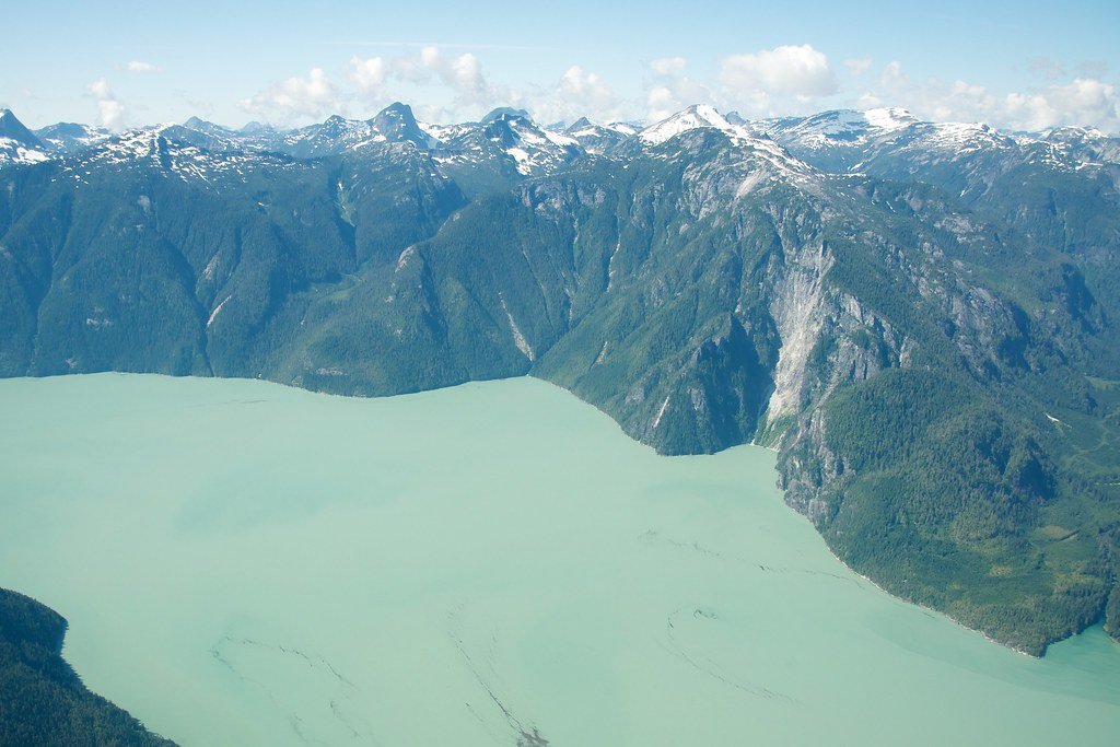
Knight Inlet carves an eighty-mile-long fjord through the remote Coast Range of Mountains, terminating at the base of Mt. Waddington, the highest mountain entirely within British Columbia. This vast wilderness area, part of the Great Bear Rainforest, is characterized by towering mountains rising directly from the sea, cascading waterfalls, and a rich ecosystem. The region is accessible only by boat or float plane, offering a pristine and secluded saltwater fishing experience amidst abundant wildlife including grizzly bears, black bears, bald eagles, and orcas. The inlet's complex shoreline, numerous adjacent sounds like Thompson and Bond Sound, and the archipelago of islands create a diverse marine environment renowned for its productivity.
Species & education
Learn what type of fish are at Knight Inlet and what's needed to catch them.

Find which waters have the species you want to catch

Atlantic Salmon
Salmo salar

Cabezon
Scorpaenichthys marmoratus

Canary Rockfish
Sebastes pinniger

Chinook Salmon
Oncorhynchus tshawytscha

Chum Salmon
Oncorhynchus keta

Coastal Cutthroat Trout
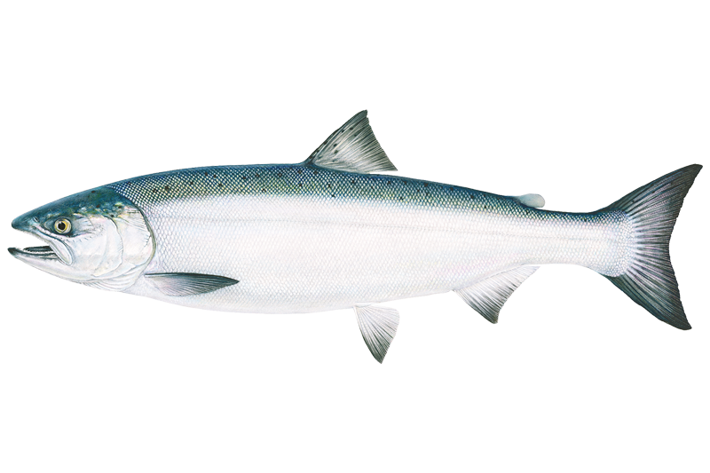
Coho Salmon
Oncorhynchus kisutch

Copper Rockfish
Sebastes caurinus
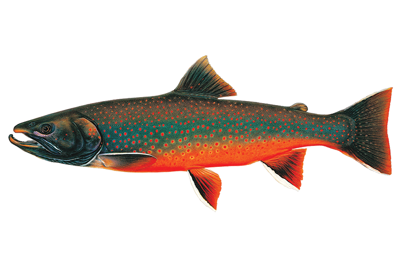
Dolly Varden
Salvelinus malma

Kelp Greenling
Hexagrammos decagrammus

Lingcod
Ophiodon elongatus

Pacific Cod
Gadus macrocephalus

Pacific Halibut
Hippoglossus stenolepis

Pacific Herring
Clupea pallasii

Pink Salmon
Oncorhynchus gorbuscha

Quillback Rockfish
Sebastes maliger

Sablefish
Anoplopoma fimbria

Sockeye Salmon
Oncorhynchus nerka

Wolf-eel
Anarrhichthys ocellatus

Yelloweye Rockfish
Sebastes ruberrimus
Fishing spots, boat ramps & amenities
Learn how to get on Knight Inlet. Uncover great fishing access points, boat ramps, and all the facilities you need for an unforgettable day on the water. Some locations shown may border or include private property. Always check property boundaries and applicable regulations before visiting. onWater's Public & Private Land layer can help you plan your access with confidence.
Key areas focus on confluence zones and river mouths where bait and fish congregate. The mouth of the Klinaklini River in Knight Inlet, specifically the waters shoreward of a line from Wahshihlas Bay to Rubble Point, is a defined fishing area. The estuaries and mud flats at the heads of inlets are productive, especially on tidal exchanges. Underwater structures like drop-offs, channels, and the edges of deep fjord walls are typical spots to target both salmon and bottom fish. Adjacent sounds like Thompson Sound and Bond Sound offer additional sheltered waters and fishing grounds.
Know where you can legally fish on Knight Inlet
See public and private land boundaries along the water, turn on private parcels with owner details to know where permission is required, and find land-trust parcels that offer permitted fishing access.
Bc licenses and regulations
No licenses or regulations available for Bc.
Take Knight Inlet with you
The onWater Fish app keeps this water's access points, species and conditions in your pocket, with the tools you use once you're there.
Use the map without signal
Download the map around Knight Inlet to use it offline when coverage drops.
Log your catches here
Keep a private fishing journal for Knight Inlet to find where and when fish are biting for you.
Get the onWater Fish app
Free on iOS and Android
Tides, wind & water conditions (10 day forecast)
On open water, wind and tide matter as much as the weather. See the best times to fish Knight Inlet and check the marine forecast before you launch.
Loading tide predictions…
Fishing near Knight Inlet

Fleuve Fraser
Capilano River

Burrard Inlet

Lynn Creek

Coquitlam River
Outer Vancouver Harbour

Pitt River

Serpentine River
Inner Vancouver Harbour

Alouette River
Explore Bc waters
Top fishing waters
No waters available right now.
Popular Cities
Loading popular cities...
Explore near Knight Inlet
Fish species
Nearby waters
More in Bc

Smarter Fishing Starts in the App.
onWater Fish gives you everything you need to plan smarter, fish better, and own every trip from first cast to last.