Whistler Interpretive Forest
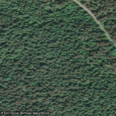
Whistler Interpretive Forest
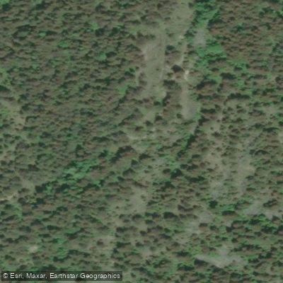
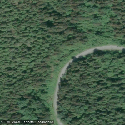
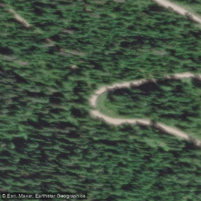
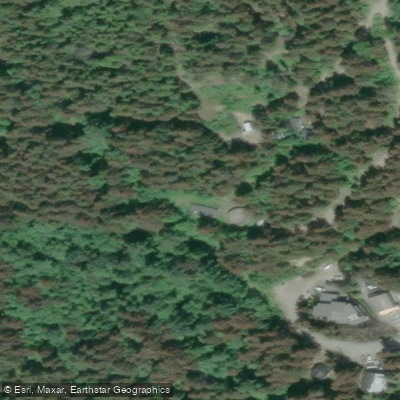
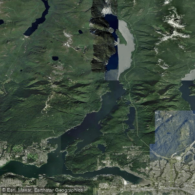
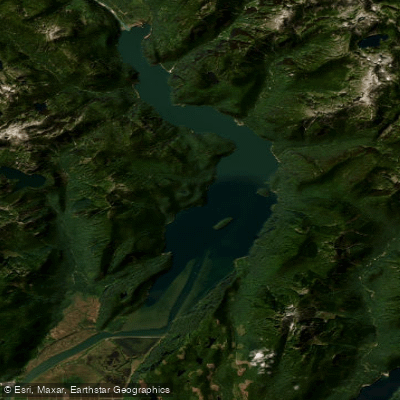
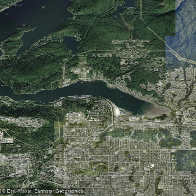
The Whistler Interpretive Forest is a roughly 3,000-hectare managed forest located about eight kilometres south of Whistler Village, off Highway 99 at the Function Junction and Cheakamus Crossing intersection.
Established in 1980 as a joint project between the BC Forest Service and Pacific Forest Products Ltd. , it was designed to demonstrate integrated resource management and provide forest education opportunities.
The area has been selectively cut and replanted over the decades.
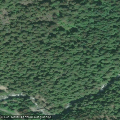
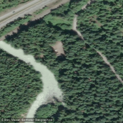
The forest surrounds the Cheakamus River and supports an extensive network of hiking and biking trails, including the Riverside and Farside trails, which connect via the MacLaurin's Crossing and Cheakamus Crossing bridges.
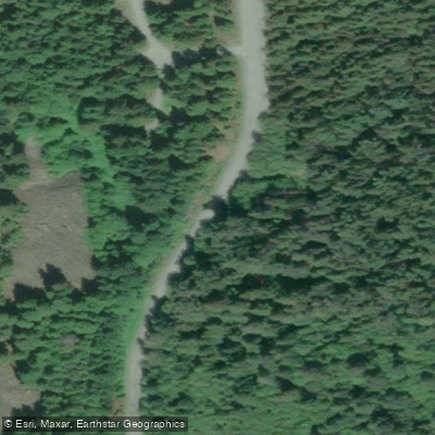
Trails range from easy riverside walks to singletrack routes extending toward the Cheakamus Lake trail network. The area is day-use only; camping is not permitted.
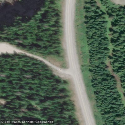
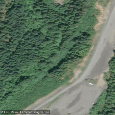
Parking is available at the main lot just off the highway, with overflow parking further along the road.
Nearby points of interest
Find excellent fishing spots, easy access to boat ramps, and all the amenities you need for a memorable day. Your adventure starts here.
Water and weather conditions (10 day forecast)
Check the forecast at Whistler Interpretive Forest before you go fishing.
No forecast data available.
Fishing near Whistler Interpretive Forest







Bc licenses and regulations
Explore Bc waters
Top fishing waters
No waters available right now.
Popular Cities
Loading popular cities...
Explore near Whistler Interpretive Forest
Nearby spots
Nearby waters
More in Bc

Smarter Fishing Starts in the App.
onWater Fish gives you everything you need to plan smarter, fish better, and own every trip from first cast to last.