Mount St. Benedict Trail
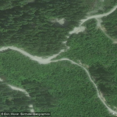
Mount St. Benedict Trail
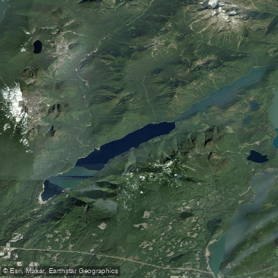
The Mount St. Benedict Trail begins off Lost Creek Forest Service Road, just before Davis Lake Provincial Park, where it connects to the Murdo Creek Forest Service Road.
The well-groomed southern section links hikers to this secondary road, which they follow uphill for roughly 1. 7 km before rejoining the trail proper.
Continuing upward through second-growth forest, the route reaches McKay Lake after about half an hour of climbing. This small, scenic lake sits at the base of a tall cliff directly beneath Mount St. Benedict's 1,278-metre summit.
Hikers cross a log dam at the lake's outlet, where Murdo Creek drains, before pushing on toward the peak. The full out-and-back route covers approximately 7. 1 miles and is rated challenging, with around 1,858 feet of elevation gain.
Nearby points of interest
Find excellent fishing spots, easy access to boat ramps, and all the amenities you need for a memorable day. Your adventure starts here.
Water and weather conditions (10 day forecast)
Check the forecast at Mount St. Benedict Trail before you go fishing.
No forecast data available.
Fishing near Mount St. Benedict Trail




Bc licenses and regulations
Explore Bc waters
Top fishing waters
No waters available right now.
Popular Cities
Loading popular cities...
Explore near Mount St. Benedict Trail

Smarter Fishing Starts in the App.
onWater Fish gives you everything you need to plan smarter, fish better, and own every trip from first cast to last.