Mud Bay
- Saltwater
- Bay
Mud Bay
- Saltwater
- Bay
- Sq. miles
- 3.7
- Boat Ramps
- 0
- Access Points
- 0
- Species
- 6
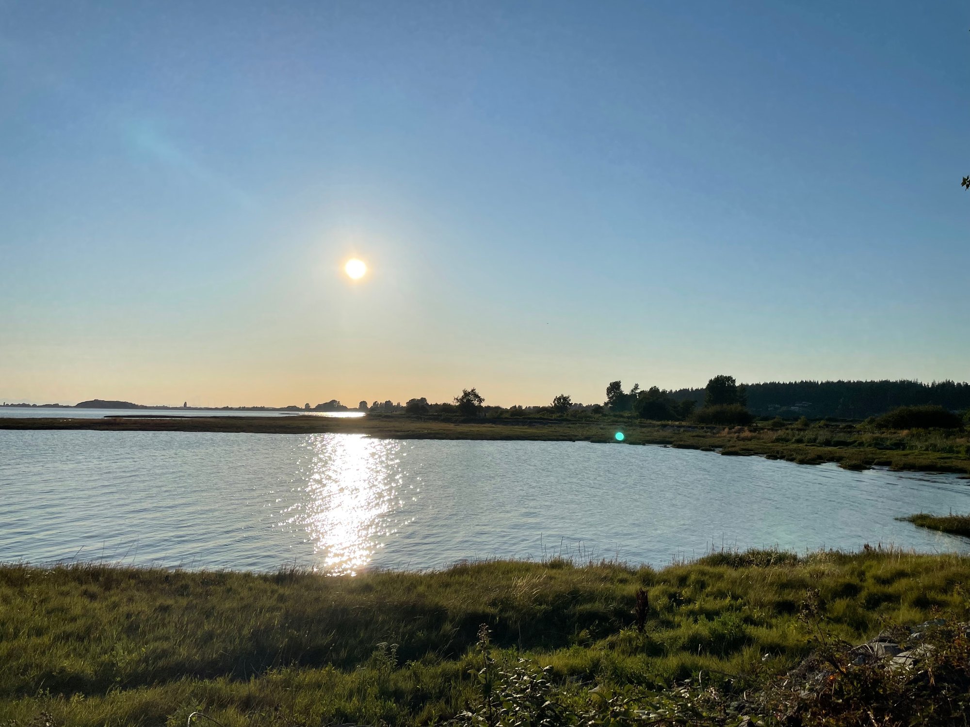
Mud Bay is a shallow, intertidal saltwater bay forming part of the Fraser River Delta estuary in the Metro Vancouver region. It is a significant coastal wetland area characterized by extensive mudflats, foreshore habitats, and salt marsh environments, bordered by the municipalities of Surrey and Delta. The bay is part of the larger Boundary Bay system and is managed within Fisheries and Oceans Canada's tidal area 29. It is a popular destination for birdwatching, kayaking, and shoreline recreation, with its ecological value enhanced by recent foreshore restoration and "living dike" initiatives. The surrounding area features regional greenways and parks, such as Mud Bay Park, which offer scenic trails along dykes with views of agricultural fields, wetlands, and the Coast Mountain Range.
Species & education
Learn what type of fish are at Mud Bay and what's needed to catch them.

Find which waters have the species you want to catch

Chinook Salmon
Oncorhynchus tshawytscha

Chum Salmon
Oncorhynchus keta
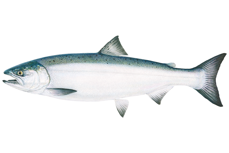
Coho Salmon
Oncorhynchus kisutch

Pacific Herring
Clupea pallasii

Starry Flounder

White Sturgeon
Fishing spots, boat ramps & amenities
Learn how to get on Mud Bay. Uncover great fishing access points, boat ramps, and all the facilities you need for an unforgettable day on the water. Some locations shown may border or include private property. Always check property boundaries and applicable regulations before visiting. onWater's Public & Private Land layer can help you plan your access with confidence.
Productive areas are found along current seams where tidal water flows into and out of the bay, and near any deeper channels or holes within the bay. The confluence areas where local creeks enter the bay can also attract fish. The extensive dyke system provides long stretches of shore access.
Know where you can legally fish on Mud Bay
See public and private land boundaries along the water, turn on private parcels with owner details to know where permission is required, and find land-trust parcels that offer permitted fishing access.
Bc licenses and regulations
No licenses or regulations available for Bc.
Take Mud Bay with you
The onWater Fish app keeps this water's access points, species and conditions in your pocket, with the tools you use once you're there.
Use the map without signal
Download the map around Mud Bay to use it offline when coverage drops.
Log your catches here
Keep a private fishing journal for Mud Bay to find where and when fish are biting for you.
Get the onWater Fish app
Free on iOS and Android
Tides, wind & water conditions (10 day forecast)
On open water, wind and tide matter as much as the weather. See the best times to fish Mud Bay and check the marine forecast before you launch.
Loading tide predictions…







Explore Bc waters
Top fishing waters
No waters available right now.
Popular Cities
Loading popular cities...
Explore near Mud Bay

Smarter Fishing Starts in the App.
onWater Fish gives you everything you need to plan smarter, fish better, and own every trip from first cast to last.