Rio Maicuru
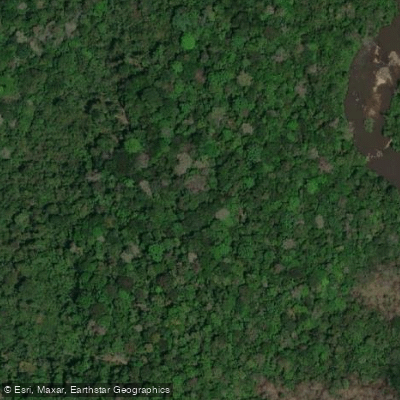
Rio Maicuru
- Boat Ramps
- 0
- Access Points
- 0
- Species
- 0
Rio Maicuru is a remote and largely wild river flowing through the heart of Pará state in north-central Brazil, draining a vast watershed of approximately 21,917 square kilometers before emptying into the Amazon River system via the Lago Grande de Monte Alegre. Stretching between 547 and 610 kilometers in length, this substantial tributary originates in the Tumucumaque Mountains National Park on the Guyana Shield at an elevation of around 331 meters, descending through dense Amazonian rainforest to its mouth near Monte Alegre at just 3 meters above sea level. The river carries an average discharge of approximately 240 cubic meters per second near its mouth, reflecting the enormous volume of water that moves through this system year-round. The Maicuru and its tributaries — including the Igarapé Ipixuna, Igarapé Açu, Igarapé Fartura, Igarapé Jangada, Igarapé do Barreirinha, Igarapé 23, and Igarapé Santa Maria — form a complex network of waterways that support extraordinary aquatic biodiversity. Much of the watershed falls within or adjacent to protected areas, including the Maicuru Biological Reserve, making this one of the most pristine and scientifically significant river systems in the entire Amazon basin.
Species & education
Learn what type of fish are at Rio Maicuru and what's needed to catch them.
No species information available.
Fishing spots, boat ramps & amenities
Learn how to get on Rio Maicuru. Uncover great fishing access points, boat ramps, and all the facilities you need for an unforgettable day on the water. Some locations shown may border or include private property. Always check property boundaries and applicable regulations before visiting. onWater's Public & Private Land layer can help you plan your access with confidence.
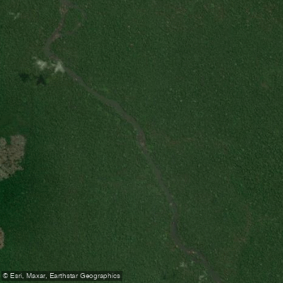
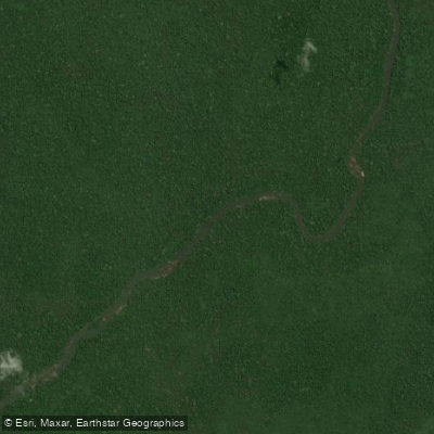
Know where you can legally fish on Rio Maicuru
See public and private land boundaries along the water, turn on private parcels with owner details to know where permission is required, and find land-trust parcels that offer permitted fishing access.
Pará licenses and regulations
No licenses or regulations available for Pará.
Take Rio Maicuru with you
The onWater Fish app keeps this water's access points, species and conditions in your pocket, with the tools you use once you're there.
Use the map without signal
Download the map around Rio Maicuru to use it offline when coverage drops.
Log your catches here
Keep a private fishing journal for Rio Maicuru to find where and when fish are biting for you.
Get the onWater Fish app
Free on iOS and Android
Water and weather conditions (10 day forecast)
See the best times to fish Rio Maicuru and check the forecast before you go.
Lajeiro
All Flow Stations
Fishing near Rio Maicuru
Rio Amazonas
Rio Tapajós
Rio Ituqui
Rio Arapiuns
Rio Mojuí
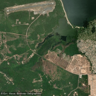
Lago Do Juá
Igarapé Apurari
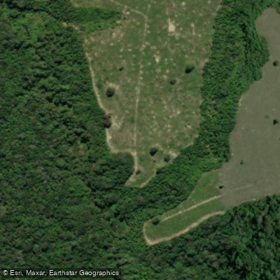
Igarapé Coatá
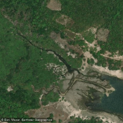
Igarapé Capichauã
Explore Pará waters
Top fishing waters
No waters available right now.
Popular Cities
Loading popular cities...
Explore near Rio Maicuru

Smarter Fishing Starts in the App.
onWater Fish gives you everything you need to plan smarter, fish better, and own every trip from first cast to last.