Fishing in Parque Nacional Serra da Mocidade
- National Park
- Lakes
- 0
- Rivers
- 21
- Access
- 0
- Boat Ramps
- 0
- Shops
- 0
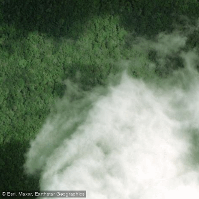
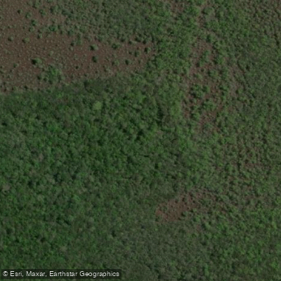
Serra da Mocidade sits in the central state of Roraima, in a transitional zone between the Amazon rainforest and the Guiana Shield.
The park's terrain runs from lowland forest through deeply cut river valleys to sandstone plateaus and ridgelines rising above 1,000 meters.
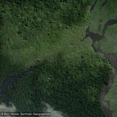
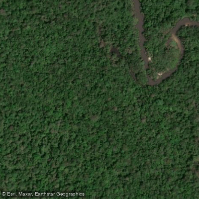
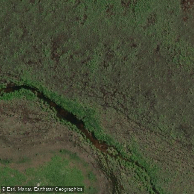
That topography feeds a dense network of rivers and igarapés — blackwater and clearwater streams threading through the lowlands — and it is this water that defines the park's character for anyone arriving by boat. Getting here is the first thing to understand.
The park's base at Igarapé Bacaba lies roughly 300 kilometers from Caracaraí by voadeira, the shallow-draft river launch that is the standard transport in this part of Amazônia. The journey takes multiple days under good conditions.
Water levels govern everything: the dry season makes the rivers too shallow to navigate without dragging the boat, and high water can submerge the base entirely.
The window that actually works is the transitional period between seasons — locally called "entre águas" — when levels are navigable but not extreme. Plan around that, not around a calendar date.
The Rio Catrimani and the Rio Xeriuini are the main river corridors in and around the park.
The Rio Água Boa do Univini, Rio Ajarani, Rio Capivara, and Rio Novo are among the other named waters inside the park's boundaries, along with a network of smaller igarapés — Igarapé do Botelho, Igarapé Arapixi, Igarapé Água Branca, Igarapé Bacaba, Igarapé da Onça, and Igarapé Branco among them.
These streams connect the main rivers and hold fish in their own right, particularly in the flooded forest margins during higher water. The park is managed by ICMBio.
As with all Brazilian national parks, check directly with ICMBio and the park administration for current access requirements, permitted activities, and any fishing-specific rules before making plans — regulations in protected Amazonian areas can change, and the remoteness here means there is no margin for arriving unprepared.
This is not a park you visit on a whim. The isolation that has kept it largely unexplored is the same quality that makes it worth the effort.
Top waters to fish near Parque Nacional Serra Da Mocidade
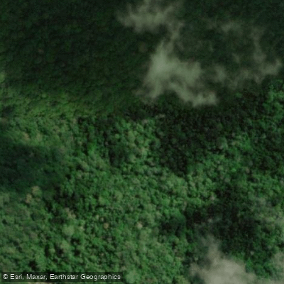
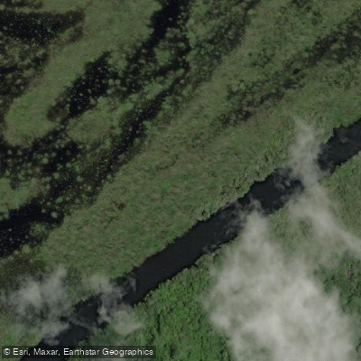
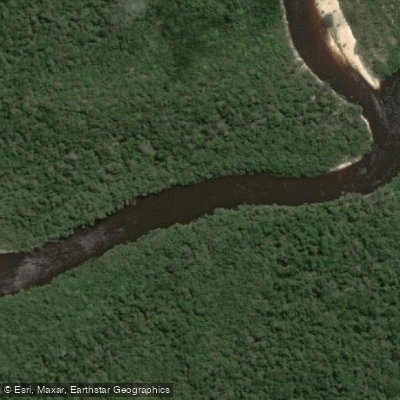
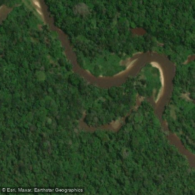
Species & education
Learn what type of fish are in Parque Nacional Serra da Mocidade and what's needed to catch them.
No species information available.
Water and weather conditions (10 day forecast)
See the best times to fish Parque Nacional Serra da Mocidade and check the forecast before you go.
No forecast data available.
Fish smarter with real-time insights
Whether you're en route and conditions shift or you're looking for the best spot based on current flows, we enable you to make informed decisions on the fly.




Fishing near Parque Nacional Serra da Mocidade
Loading...
Gateway towns
Where to base yourself for fishing in Parque Nacional Serra da Mocidade.
- CaracaraíRoraima
Nearest town to the park and the primary base for visitors, with access to permits and logistics for this remote park.
- BarcelosAmazonas
Municipality covering the park's southern portion in Amazonas, serving as a secondary access point for river-based approaches.
Explore Parque Nacional Serra da Mocidade
Top fishing waters
Popular Cities
Loading popular cities...

Smarter Fishing Starts in the App.
onWater Fish gives you everything you need to plan smarter, fish better, and own every trip from first cast to last.