Fishing in Parque Nacional Montanhas do Tumucumaque
- National Park
- Lakes
- 0
- Rivers
- 39
- Access
- 0
- Boat Ramps
- 2
- Shops
- 0
- Species
- 9
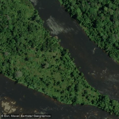
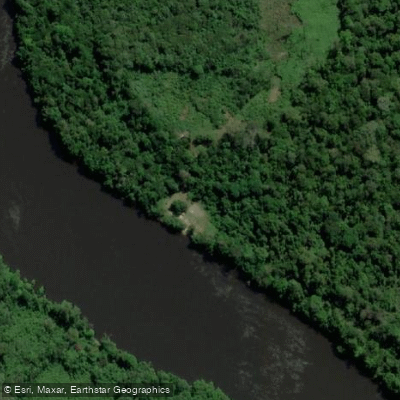
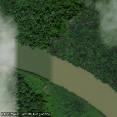
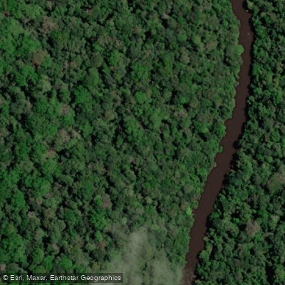
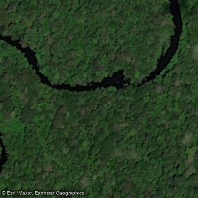
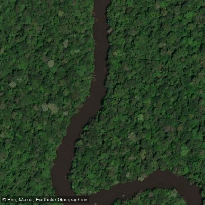
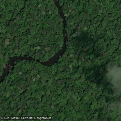
The rivers draining Parque Nacional Montanhas do Tumucumaque run off the ancient Guiana Shield in the far north of Amapá and Pará, threading through nearly 39,000 square kilometers of intact Amazonian forest before reaching lowland Brazil.
The park sits against the borders of French Guiana and Suriname, and its watersheds feed systems that flow both north and south. Access is by river, and the rivers themselves are the roads.
The Rio Amapari is the practical entry point for most expeditions — the ICMBio base at Serra do Navio sits just outside the park, and boats travel upriver from there into the interior.
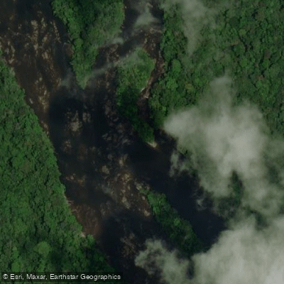
During dry season the Amapari runs low enough that even light voadeiras have to pick their lines carefully through the shallows.
The Rio Jari drains the park's southern reaches toward Laranjal do Jari, while the Rio Cassiporé and Rio Anotaié drain toward the northeast near Calçoene and Oiapoque.
The Rio Araguari, Rio Mutura, Rio Mutum, Rio Uassipein, and smaller igarapés — including Igarapé Muipi, Igarapé Mulini, Igarapé Pracassoca, and Igarapé Ximim-Ximim — lace the interior, most of them reachable only after days of river travel or on foot.
Fishing inside the park is tightly restricted. The park's governing documents note that hunting and fishing occur only at specific, limited points within the unit, and that fishing directly affects the animal populations being exploited.
This is a protection-integral conservation area managed by ICMBio, not a recreational fishery. Anyone planning to fish here needs to contact ICMBio directly — the park administration can be reached at tumucumaque@icmbio. gov.
br — to understand what is currently permitted, where, and under what conditions. Do not assume access or permission. The forest here is genuinely remote. There is no cell signal past Serra do Navio.
Expeditions require days of travel by boat and on foot, and the logistics of moving gear on low-water rivers demand experience and local knowledge. The waters are intact precisely because almost no one reaches them.
That's worth keeping in mind before you go, and worth protecting once you're there.
Top waters to fish near Parque Nacional Montanhas Do Tumucumaque

Species & education
Learn what type of fish are in Parque Nacional Montanhas do Tumucumaque and what's needed to catch them.

Find which waters have the species you want to catch

Aracu flamengo
Leporinus desmotes

Aracu-flamengo
Leporinus fasciatus

Barbado
Pinirampus pirinampu

Leporinus jatuncochi
Leporinus jatuncochi

Leporinus melanostictus
Leporinus melanostictus

Piramutaba
Brachyplatystoma vaillantii

Piranha
Serrasalmus eigenmanni

Piranha preta
Serrasalmus rhombeus

Tararira ñata
Hoplerythrinus unitaeniatus
Water and weather conditions (10 day forecast)
See the best times to fish Parque Nacional Montanhas do Tumucumaque and check the forecast before you go.
No forecast data available.
Fish smarter with real-time insights
Whether you're en route and conditions shift or you're looking for the best spot based on current flows, we enable you to make informed decisions on the fly.




Fishing near Parque Nacional Montanhas do Tumucumaque
Loading...
Gateway towns
Where to base yourself for fishing in Parque Nacional Montanhas do Tumucumaque.
- MacapáAP
State capital and main departure point for expeditions into the park, with guides, outfitters, and permit contacts for both visitor sectors.
- Serra do NavioAP
Gateway town for the Polo Amapari sector, the closest settlement to that park entrance with local guides available.
- OiapoqueAP
Base for the Polo Oiapoque sector; river launches depart here up the Rio Oiapoque to reach Cachoeira do Anotaie and Vila Brasil inside the park.
Explore Parque Nacional Montanhas do Tumucumaque
Top fishing waters
Popular Cities
Loading popular cities...

Smarter Fishing Starts in the App.
onWater Fish gives you everything you need to plan smarter, fish better, and own every trip from first cast to last.