Fishing in Parque Nacional do Juruena
- National Park
- Lakes
- 1
- Rivers
- 42
- Access
- 0
- Boat Ramps
- 0
- Shops
- 0
- Species
- 6
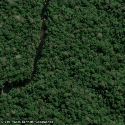
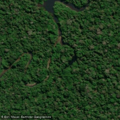
Parque Nacional do Juruena sits across the northern tip of Mato Grosso and the southern edge of Amazonas, covering nearly two million hectares of Amazon rainforest drained by 39 river sub-basins.
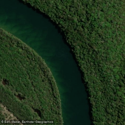
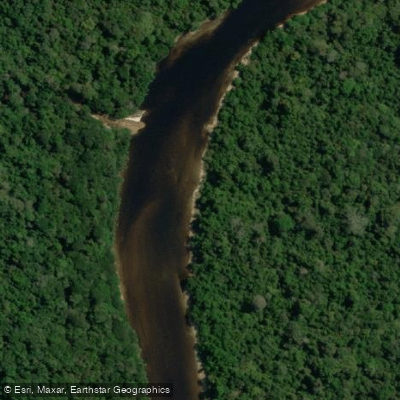
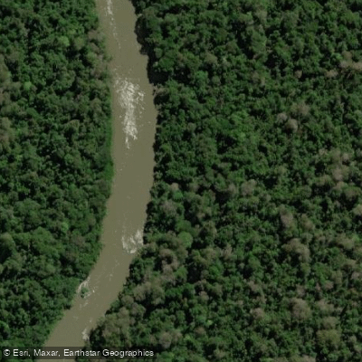
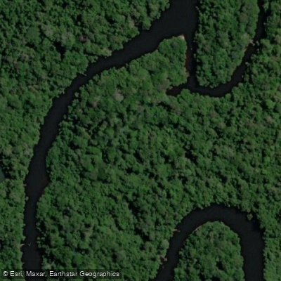
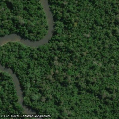
The rivers here run clear — green to olive-green in the dry season, muddied when the rains come — and their navigability is generally poor, broken by rapids and falls that define both the landscape and the fishing. The Rio Juruena is the park's backbone.
It draws anglers primarily for giant trahira (trairão), along with speckled peacock bass, piraíba, and other large catfish species.
The gear lists circulating among regulars reflect the range: light setups for corvinas and pacus, medium rigs for cachara, barbado, and cachorra, and heavy outfits — 50 to 120-pound rods with 0. 80–0.
90 mm line — for the jaú, pirarara, and piraíba that hold in the deeper runs. The Salto Augusto Falls, inside the park's limits, marks one of the most significant features on the river.
WWF researchers working the waters immediately above and below the falls documented matrinxã (Brycon amazonicus) — a migratory species that reaches 70 cm and 4 kilos, valued both by sport anglers and local communities.
Whether the populations above and below the falls are genetically distinct remains a subject of ongoing study. The Rio Sucunduri drains roughly 10% of the park's total area in the north, feeding into the broader system.
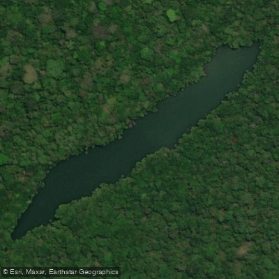
Lakes and oxbows associated with the river network hold tucunaré and traíra, where surface lures and mid-column artificials — including local favorites like the "papa black" and "João Pepino" — produce well.
Pirarucu are present in these lakes too, though they are considerably harder to target. Access into the park is genuinely difficult.
The terrain is remote, navigability is limited, and the park is administered by ICMBio — the Chico Mendes Institute for Biodiversity Conservation.
Anyone planning a trip should contact ICMBio directly for current entry requirements, permitted activities, and any fishing-specific rules that apply inside the park boundaries.
The park also has active enforcement challenges, including illegal mining incursions, which affect conditions on the ground. This is not water you show up to without preparation. The rivers reward anglers who do the work before they go.
Top waters to fish near Parque Nacional Do Juruena
Species & education
Learn what type of fish are in Parque Nacional do Juruena and what's needed to catch them.

Find which waters have the species you want to catch

Aracu cabeça gorda
Leporinus friderici

Cachorra
Hydrolycus tatauaia

Leporinus reticulatus
Leporinus reticulatus

Leporinus sexstriatus
Leporinus sexstriatus

Tucunaré
Cichla pinima

Tarango
Hoplias malabaricus
Water and weather conditions (10 day forecast)
See the best times to fish Parque Nacional do Juruena and check the forecast before you go.
No forecast data available.
Fish smarter with real-time insights
Whether you're en route and conditions shift or you're looking for the best spot based on current flows, we enable you to make informed decisions on the fly.




Fishing near Parque Nacional do Juruena
Loading...
Gateway towns
Where to base yourself for fishing in Parque Nacional do Juruena.
- ApiacásMT
Gateway town on the Mato Grosso side of the park, with local authorities and outfitters involved in park access and ecotourism.
- Nova BandeirantesMT
One of the municipalities bordering the park in Mato Grosso, serving as a base for access to the park's southern reaches.
- CotriguaçuMT
Sits within one of the five municipalities that make up the park, providing a staging point for visitors entering from Mato Grosso.
- ApuíAM
Gateway town on the Amazonas side of the park, adjacent to the Sucunduri State Park and a base for northern access.
Explore Parque Nacional do Juruena
Top fishing waters
Popular Cities
Loading popular cities...

Smarter Fishing Starts in the App.
onWater Fish gives you everything you need to plan smarter, fish better, and own every trip from first cast to last.