Fishing in Parque Nacional do Cabo Orange
- National Park
- Lakes
- 1
- Rivers
- 6
- Access
- 0
- Boat Ramps
- 0
- Shops
- 0
Parque Nacional do Cabo Orange sits at the northeastern tip of the Brazilian state of Amapá, where the Amazon biome meets the Atlantic coast along the border with French Guiana.
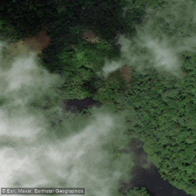
The park covers roughly 657,000 hectares of tidal rivers, mangrove forests, flooded grasslands, swamps, and coastal marine waters — the only national park in Brazil protecting a coastal mangrove ecosystem within the Amazon biome.
The water here is shaped by the push and pull of ocean tides against river flows, which means conditions shift constantly and the line between freshwater and saltwater is rarely fixed.
The park is classified as a proteção integral unit under Brazilian federal law, which carries strict implications for anyone who wants to fish.
Entry with fishing gear or instruments intended for fishing is prohibited, and vessels carrying fishing gear are not permitted to transit the park except for research and monitoring purposes.
This is not a park where recreational fishing access is quietly tolerated — the rules are explicit, and ICMBio enforces them.
The research literature documents ongoing conflict between artisanal fishers from Oiapoque and park authorities over access to these waters, which gives some sense of how productive and contested the fishery is.
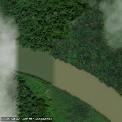
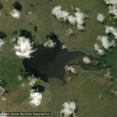
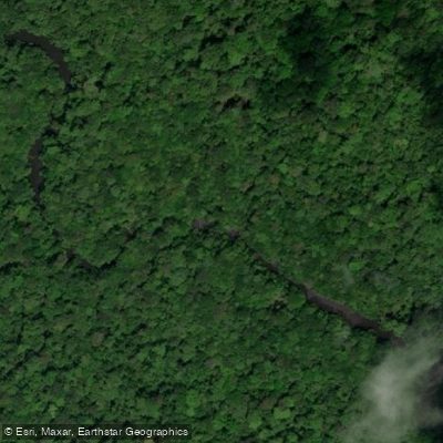
The waters that define the park include the Rio Cassiporé and the Rio Uaçá, both tidal rivers running through the mangrove and forest interior, along with smaller channels such as Igarapé Grande.
The Oyapock River marks the park's northern boundary with French Guiana.
Species of conservation concern within the park include sawfish, West Indian manatee, Amazonian manatee, and green turtle — the kind of assemblage that explains why the protection level is what it is.
For anglers, the honest picture is this: the park itself is effectively closed to fishing.
The waters just outside it, around Oiapoque and Calçoene, are where registered artisanal fishers operate, and vessel transit in the Marine Extensive Use Zone is restricted to those registered with the Z3 fishing colony of Oiapoque, the Z9 Fishermen's Colony of Calçoene, or the Calçoene Fishermen's Cooperative.
Anyone planning a trip to this region should contact ICMBio directly for current access rules before putting a boat in the water.
Top waters to fish near Parque Nacional Do Cabo Orange
Species & education
Learn what type of fish are in Parque Nacional do Cabo Orange and what's needed to catch them.
No species information available.
Water and weather conditions (10 day forecast)
See the best times to fish Parque Nacional do Cabo Orange and check the forecast before you go.
No forecast data available.
Fish smarter with real-time insights
Whether you're en route and conditions shift or you're looking for the best spot based on current flows, we enable you to make informed decisions on the fly.




Fishing near Parque Nacional do Cabo Orange
Loading...
Gateway towns
Where to base yourself for fishing in Parque Nacional do Cabo Orange.
- OiapoqueAP
The main gateway town for the park, with lodging, boat launches, and access to the Oiapoque River corridor into the park.
- CalçoeneAP
The other municipality covering the park, serving as a southern access point with registered fishing and vessel services for the park.
Explore Parque Nacional do Cabo Orange
Top fishing waters
Popular Cities
Loading popular cities...

Smarter Fishing Starts in the App.
onWater Fish gives you everything you need to plan smarter, fish better, and own every trip from first cast to last.