Fishing in Parque Nacional do Araguaia
- National Park
- Lakes
- 3
- Rivers
- 9
- Access
- 0
- Boat Ramps
- 0
- Shops
- 0
- Species
- 10
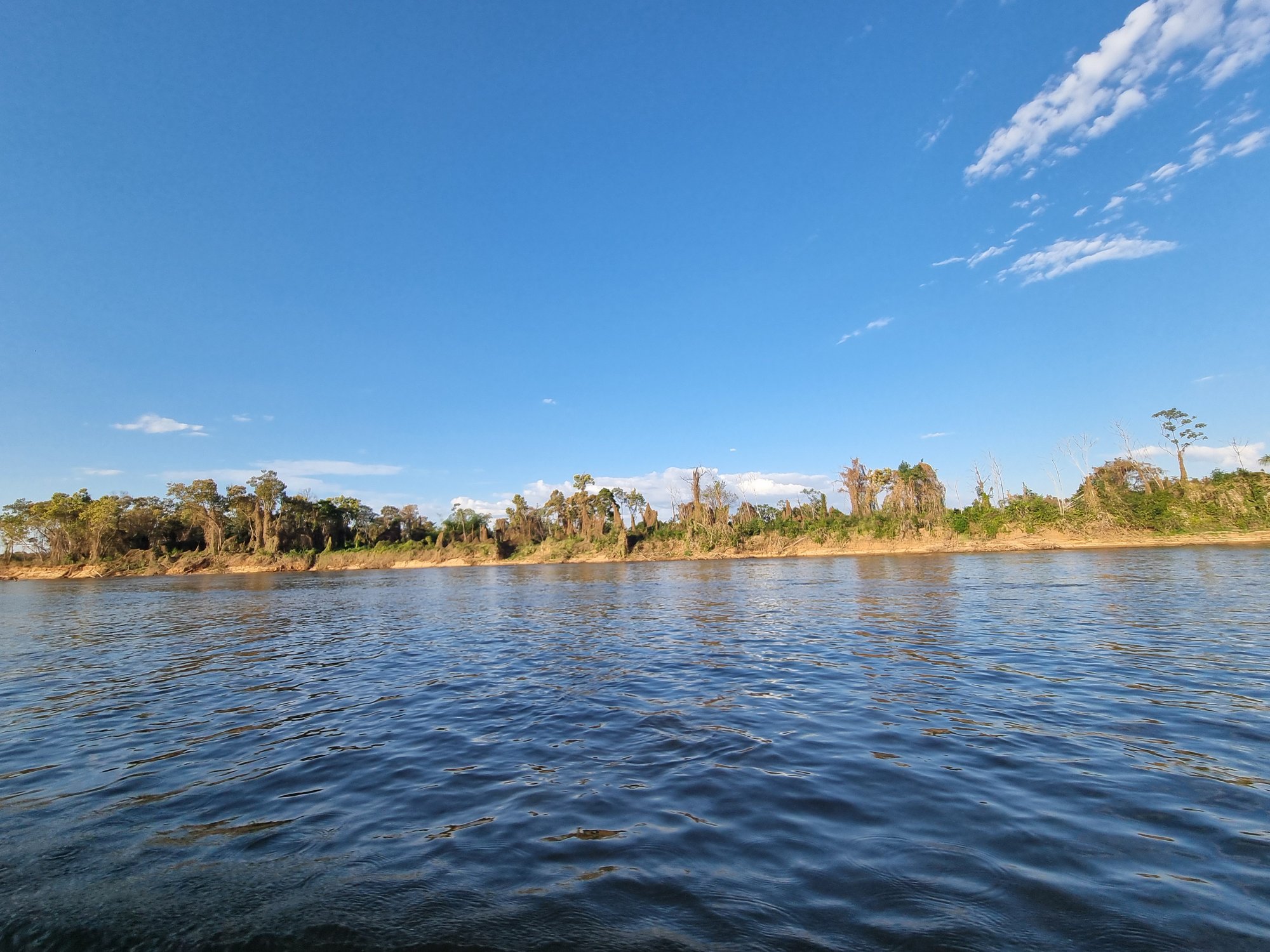
Parque Nacional do Araguaia sits on Ilha do Bananal in Tocantins state — the largest fluvial island in the world, formed by the Rio Araguaia to the west and the Rio Javaés to the east.
The island covers roughly 2 million hectares, and about a third of it floods every year, typically between December and April.
That seasonal pulse shapes everything about the fishing here: where fish concentrate, when access is possible, and what the water even looks like from one month to the next.
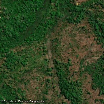
The park occupies the northern portion of Ilha do Bananal, sitting at the transition between Cerrado and Amazônia. That overlap pulls in species from both biomes, and the floodplain adds a Pantanal dimension on top of that.
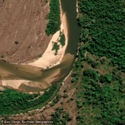
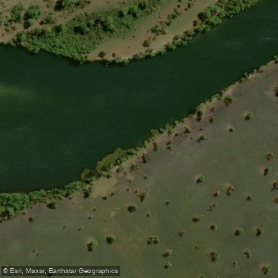
The Rio Araguaia and Rio Javaés are the two waters that define the park's geography, and both hold tucunaré, pirarucu, and pirarara. The Rio Javaés is accessible from the north, closer to the Parque Estadual do Cantão, and can be reached by boat.
The Rio Araguaia forms the park's western boundary and is the main corridor for any river-based trip into the area. The dry season — roughly May through October — is when the fishing becomes most productive.
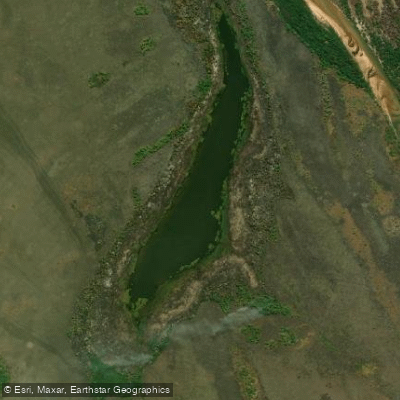
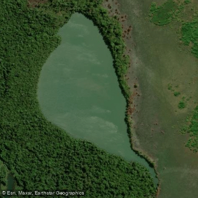
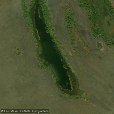
As water levels drop, fish concentrate in the remaining channels and oxbow lakes.
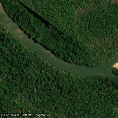
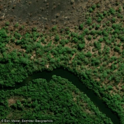
The smaller tributaries inside the park, including the Rio Riozinho, Rio Mercedes, Rio Barreiro, Rio Urubu, and Rio Randi-Torá, become more defined and navigable during this period.
The rainy season brings high water and mosquitoes, and much of the interior becomes difficult or impossible to reach. Access requires more than a fishing licence.
The park overlaps with Indigenous territory belonging to the Karajá and Javaé peoples, and any visit — fishing included — requires prior contact and coordination with the Indigenous communities.
They are not currently set up for organized ecotourism, but fishing-focused visits do take place.
Check directly with the park administration and the relevant Indigenous representatives before planning a trip; the rules around access and permitted activity are not something to sort out on arrival. The water itself is not benign.
Piranhas and caimans are present throughout, and swimming is not something locals do casually. That's worth keeping in mind when fishing from shore or wading to work a bank.
Species & education
Learn what type of fish are in Parque Nacional do Araguaia and what's needed to catch them.

Find which waters have the species you want to catch

Cachorra
Hydrolycus tatauaia

Caribe boca de locha
Pygocentrus nattereri

Cíclido pavorreal de kelber
Cichla kelberi

Curimatá
Prochilodus nigricans

Dentudo
Rhaphiodon vulpinus

Leporinus venerei
Leporinus venerei

Pirambeba-vermelha
Serrasalmus humeralis

Piranha preta
Serrasalmus rhombeus

Pirantera
Hydrolycus armatus

Tucunaré
Cichla pinima
Water and weather conditions (10 day forecast)
See the best times to fish Parque Nacional do Araguaia and check the forecast before you go.
No forecast data available.
Fish smarter with real-time insights
Whether you're en route and conditions shift or you're looking for the best spot based on current flows, we enable you to make informed decisions on the fly.




Fishing near Parque Nacional do Araguaia
Loading...
Gateway towns
Where to base yourself for fishing in Parque Nacional do Araguaia.
- PiumTO
Closest town to the park's eastern entrance on Bananal Island, serving as the main access point for visitors.
Explore Parque Nacional do Araguaia
Top fishing waters
Popular Cities
Loading popular cities...

Smarter Fishing Starts in the App.
onWater Fish gives you everything you need to plan smarter, fish better, and own every trip from first cast to last.