Fishing in Pantanal Matogrossense National Park
- National Park
- Lakes
- 4
- Rivers
- 8
- Access
- 0
- Boat Ramps
- 0
- Shops
- 0
- Species
- 15
Pantanal Matogrossense National Park sits in the floodplain of the upper Rio Paraguai, straddling the border of Mato Grosso and Mato Grosso do Sul in western Brazil.
The park covers 135,606 hectares of classic Pantanal terrain — a low, seasonally inundated basin where rivers spill across the plain for months at a time, then contract back into defined channels.
The water here is not static; it moves with the seasons, and so does the fishing. The Rio Paraguai is the main artery through the park, and the Rio São Lourenço feeds into this system from the north.
Smaller waters — the Rio Alegre, Rio Caracará, Riozinho do Uval, and the baías (shallow lakes) like Baía do Dia Dois — fill and connect during the wet season, then become isolated as water recedes.
The baías are worth attention: when they shrink in the dry months, fish concentrate in them in numbers that can make for exceptional sessions. The dry season, roughly May to October, is when most anglers come.
Water levels drop, fish stack in the remaining channels and lakes, and navigation is more predictable. The wet season, October through April, transforms the park into a vast shallow sea — accessible mainly by boat, with fish dispersed across the flooded plain.
Some anglers prefer this period for the sheer reach it allows, but logistics are considerably more demanding. Species present in the broader Pantanal system include dourado, pintado, cachara, pacu, and piranha.
The dourado in particular draws anglers to the faster water of the upper river sections. Access to the park is remote; Corumbá is the nearest significant town, and reaching the park typically requires boat travel on the Rio Paraguai.
Pantanal Matogrossense is a strictly protected national park managed by ICMBio, and it carries Ramsar Wetland of International Importance status.
Fishing regulations here are not the same as in the surrounding Pantanal — check directly with ICMBio for current rules before planning any trip inside park boundaries.
Top waters to fish near Pantanal Matogrossense National Park
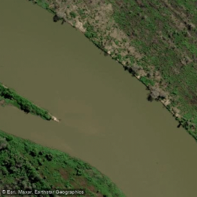
Rio Paraguai
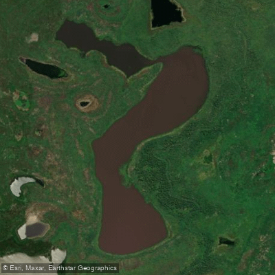
Baía Do Dia Dois
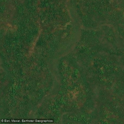
Rio Alegre
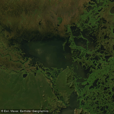
Lagoa Uberaba
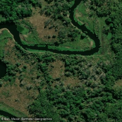
Rio Caracará
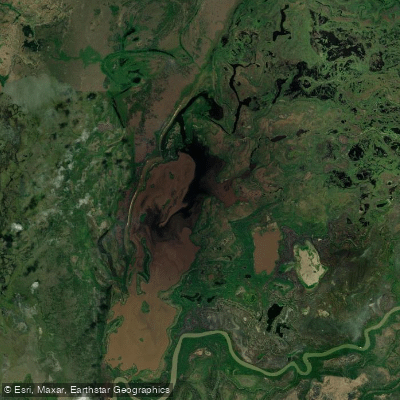
Baía Do Burro
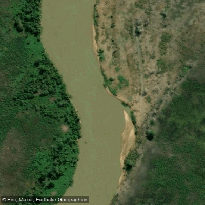
Rio São Lourenço
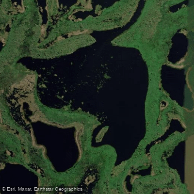
Baía Infinita
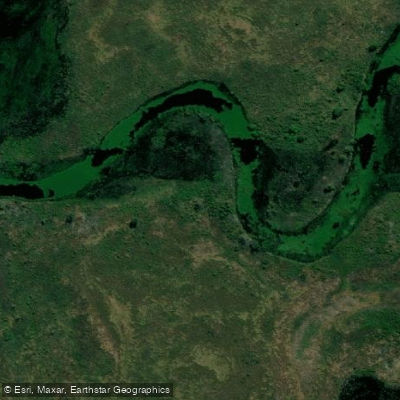
Riozinho do Uval
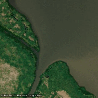
Rio Caracarazinho
Species & education
Learn what type of fish are in Pantanal Matogrossense National Park and what's needed to catch them.

Find which waters have the species you want to catch

Aracu
Leporinus guttatus

Aracu cabeça gorda
Leporinus friderici

Canivete
Leporinus striatus

Caribe boca de locha
Pygocentrus nattereri

Cucharón
Sorubim lima

Dama
Salminus brasiliensis

Oscar
Astronotus ocellatus

Palometa picuda
Serrasalmus marginatus

Piau
Leporinus tigrinus

Pintado
Pseudoplatystoma fasciatum

Pirambeba-vermelha
Serrasalmus humeralis

Pirapitinga
Piaractus brachypomus

Piraputanga
Brycon hilarii

Pseudoplatystoma reticulatum
Pseudoplatystoma reticulatum

Sábalo
Prochilodus lineatus
Water and weather conditions (10 day forecast)
See the best times to fish Pantanal Matogrossense National Park and check the forecast before you go.
No forecast data available.
Fish smarter with real-time insights
Whether you're en route and conditions shift or you're looking for the best spot based on current flows, we enable you to make informed decisions on the fly.




Fishing near Pantanal Matogrossense National Park
Loading...
Gateway towns
Where to base yourself for fishing in Pantanal Matogrossense National Park.
- PoconéMT
Gateway town at the start of the Transpantaneira Highway, with hostels, guesthouses, and outfitters serving the park entrance.
- Porto JofreMT
Remote town at the end of the Transpantaneira Highway and the main launch point for boat safaris into the park's jaguar territory.
- CuiabáMT
State capital and main fly-in hub for the northern Pantanal, where most visitors arrange transfers, guides, and lodge packages for the park.
Explore Pantanal Matogrossense National Park
Top fishing waters
Popular Cities
Loading popular cities...

Smarter Fishing Starts in the App.
onWater Fish gives you everything you need to plan smarter, fish better, and own every trip from first cast to last.