Rio Japurá
Rio Japurá
- Boat Ramps
- 0
- Access Points
- 0
- Species
- 0
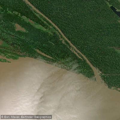
The Rio Japurá is one of the great rivers of the Amazon basin, stretching approximately 2,820 kilometers (1,750 miles) from its origins as the Caquetá River in the Colombian Andes, flowing eastward through Brazil before joining the Amazon River. Within Brazil's Amazonas state, the river is a massive, powerful waterway with an average discharge of over 18,000 cubic meters per second at its confluence with the Solimões (Amazon), and peak flows reaching as high as 33,400 m³/s. The lower Japurá is particularly notable for its vast floodplain system, which connects with the Solimões River and creates an extraordinary complex of lakes, channels, and seasonally inundated forests. This region, roughly 600 kilometers west of Manaus, encompasses the Mamirauá Sustainable Development Reserve — the first reserve of its kind in Brazil, legislated by the Government of Amazonas in 1996 — and represents one of the most biologically rich and productive freshwater fishing environments on the planet. The river is navigable by small boats throughout its Brazilian course, and the surrounding floodplain system supports both commercial and sport fishing of exceptional quality.
Species & education
Learn what type of fish are at Rio Japurá and what's needed to catch them.
No species information available.
Fishing spots, boat ramps & amenities
Learn how to get on Rio Japurá. Uncover great fishing access points, boat ramps, and all the facilities you need for an unforgettable day on the water. Some locations shown may border or include private property. Always check property boundaries and applicable regulations before visiting. onWater's Public & Private Land layer can help you plan your access with confidence.
The Mamirauá Sustainable Development Reserve, situated in the complex of lakes and channels between the Solimões River and the Japurá River approximately 600 kilometers west of Manaus, is the premier fishing destination in the entire Rio Japurá system. Within the reserve, the network of oxbow lakes, flooded channels, and várzea forest edges provides the most productive Arapaima habitat. The confluence zones where channels meet larger lakes, and areas of flooded forest where fish seek shade and ambush prey, are particularly productive locations.
Know where you can legally fish on Rio Japurá
See public and private land boundaries along the water, turn on private parcels with owner details to know where permission is required, and find land-trust parcels that offer permitted fishing access.
Amazonas licenses and regulations
No licenses or regulations available for Amazonas.
Take Rio Japurá with you
The onWater Fish app keeps this water's access points, species and conditions in your pocket, with the tools you use once you're there.
Use the map without signal
Download the map around Rio Japurá to use it offline when coverage drops.
Log your catches here
Keep a private fishing journal for Rio Japurá to find where and when fish are biting for you.
Get the onWater Fish app
Free on iOS and Android
Water and weather conditions (10 day forecast)
See the best times to fish Rio Japurá and check the forecast before you go.
Vila Bittencourt
Fishing near Rio Japurá
Rio Solimões
Rio Tefé
Igarapé Castanho

Rio Uarini
Rio Curimatá de Baixo
Igarapé Catuá
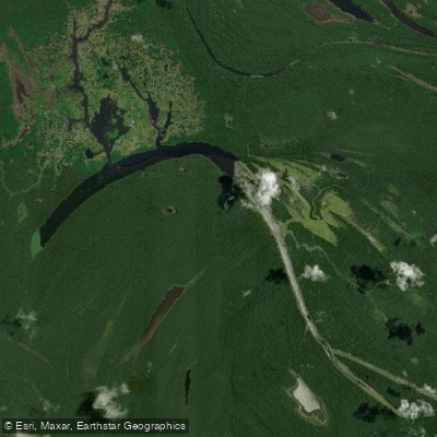
Lago Mamirauá
Igarapé Centro Grande
Paraná Do Carvaçu
Explore Amazonas waters
Top fishing waters
No waters available right now.
Popular Cities
Loading popular cities...
Explore near Rio Japurá

Smarter Fishing Starts in the App.
onWater Fish gives you everything you need to plan smarter, fish better, and own every trip from first cast to last.