Port Sorell
- Saltwater
- Estuary
Port Sorell
- Saltwater
- Estuary
- Sq. miles
- 9.3
- Boat Ramps
- 5
- Access Points
- 0
- Species
- 9
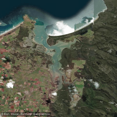
Port Sorell is a picturesque coastal town on Tasmania's north-central coast, situated along the sheltered waters of the Port Sorell waterway and the Rubicon Estuary. This area is characterized by golden and white sandy beaches, emerald green water, and a series of sheltered inlets that flow into Bass Strait. The region, which includes the neighboring towns of Shearwater and Hawley Beach, enjoys a notably warm microclimate that makes it a popular year-round destination. The estuary has been designated an Important Bird Area, highlighting its ecological significance. The landscape offers a mix of calm ocean fronts, vast beaches, and proximity to Narawntapu National Park, creating a tranquil yet productive environment for anglers seeking both inshore saltwater and estuarine fishing opportunities.
Species & education
Learn what type of fish are at Port Sorell and what's needed to catch them.

Find which waters have the species you want to catch

Australian Salmon
Arripis trutta

Black Bream
Acanthopagrus butcheri

Bronze Whaler
Carcharhinus brachyurus

Gummy Shark
Mustelus antarcticus

Sand Flathead
Platycephalus bassensis

School Shark
Galeorhinus galeus

Silver Trevally
Pseudocaranx dentex

Tailor
Pomatomus saltatrix

Yellowtail Scad
Trachurus novaezelandiae
Fishing spots, boat ramps & amenities
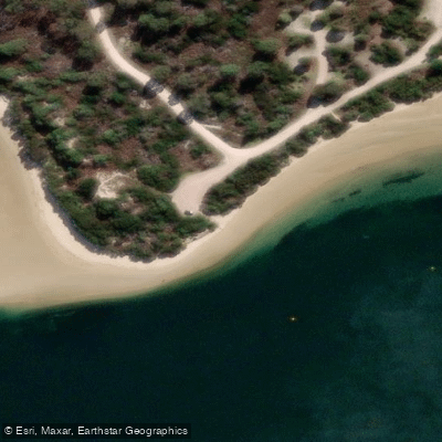
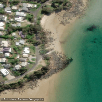
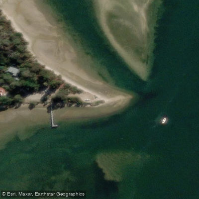
Learn how to get on Port Sorell. Uncover great fishing access points, boat ramps, and all the facilities you need for an unforgettable day on the water. Some locations shown may border or include private property. Always check property boundaries and applicable regulations before visiting. onWater's Public & Private Land layer can help you plan your access with confidence.
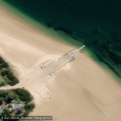
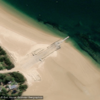
Know where you can legally fish on Port Sorell
See public and private land boundaries along the water, turn on private parcels with owner details to know where permission is required, and find land-trust parcels that offer permitted fishing access.
Tasmania licenses and regulations

Tasmania Boating Regulations
Official Marine and Safety Tasmania (MAST) Safe Boating Handbook, covering Tasmania's boating rules, required safety equipment by vessel size and operational area, and navigation rules.

Tasmania Fishing License
Official Inland Fisheries Service (IFS) page for Tasmania's inland angling licence. A current angling licence is required to fish freshwater (rod, reel or line), including farm dams; buy online, by phone, or through Service Tasmania.

Tasmania Fishing Regulations
Official IFS hub for Tasmania's inland (freshwater) fishing rules, linking season dates and times, bag and size limits, and allowed angling methods, which can vary water to water across the state's trout lakes and rivers.

Tasmania Stream Access Laws
Tasmania has no standalone stream-access statute page; this is the closest official source - the IFS Anglers Access Program, explaining that an angling licence does not grant the right to cross private property and that signposted access points are established with landowners.
Take Port Sorell with you
The onWater Fish app keeps this water's access points, species and conditions in your pocket, with the tools you use once you're there.
Use the map without signal
Download the map around Port Sorell to use it offline when coverage drops.
Log your catches here
Keep a private fishing journal for Port Sorell to find where and when fish are biting for you.
Get the onWater Fish app
Free on iOS and Android
Tides, wind & water conditions (10 day forecast)
On open water, wind and tide matter as much as the weather. See the best times to fish Port Sorell and check the marine forecast before you launch.
Loading tide predictions…
Fishing near Port Sorell
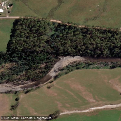
Mersey River
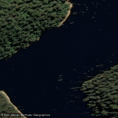
River Forth
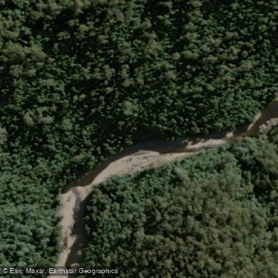
Wilmot River
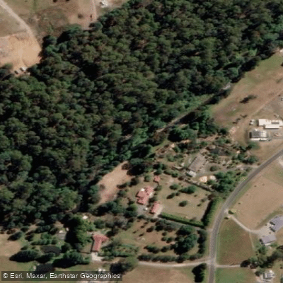
Don River
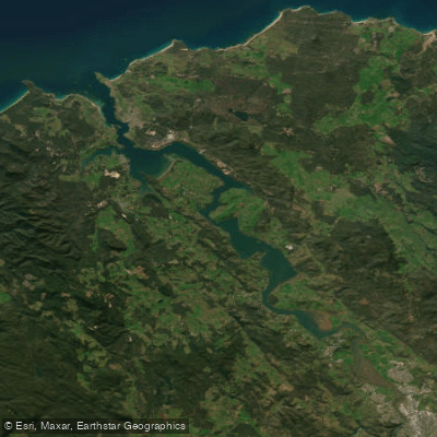
Tamar River
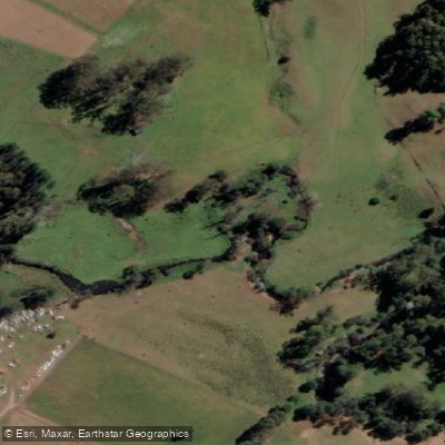
Dasher River
River Leven
Forth River
West Gawler River
Explore Tasmania waters
Top fishing waters
No waters available right now.
Popular Cities
Loading popular cities...
Explore near Port Sorell
Fish species
Fishing spots
Nearby waters
More in Tasmania

Smarter Fishing Starts in the App.
onWater Fish gives you everything you need to plan smarter, fish better, and own every trip from first cast to last.