Lake King William
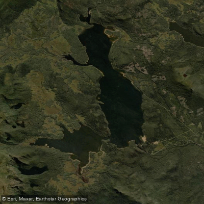
Lake King William
- Boat Ramps
- 4
- Access Points
- 0
- Species
- 3
Lake King William is a large hydroelectric impoundment nestled in the heart of Tasmania's Central Highlands, created in 1950 when Hydro Tasmania constructed the 70-metre Clark Dam across the Derwent River. In the late 1960s, an additional 6 metres was added to the dam wall, significantly increasing the lake's storage capacity. As a working hydroelectric reservoir, the lake experiences large fluctuations in water level throughout the year due to ongoing electricity generation demands. The water is notably clear, allowing anglers to polaroid fish along steeper shorelines — a hallmark of quality Tasmanian highland fishing. The lake is managed as a wild trout fishery by the Inland Fisheries Service, and its many inflowing creeks and rivers provide extensive natural spawning habitat, supporting a self-sustaining fish population of exceptional quality.
Species & education
Learn what type of fish are at Lake King William and what's needed to catch them.

Find which waters have the species you want to catch

Brown Trout
Salmo trutta

Climbing Galaxias
Galaxias brevipinnis

Rainbow Trout
Oncorhynchus mykiss
Fishing spots, boat ramps & amenities
Learn how to get on Lake King William. Uncover great fishing access points, boat ramps, and all the facilities you need for an unforgettable day on the water. Some locations shown may border or include private property. Always check property boundaries and applicable regulations before visiting. onWater's Public & Private Land layer can help you plan your access with confidence.
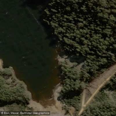
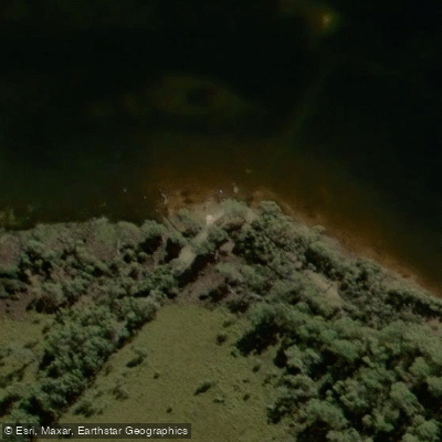
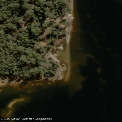
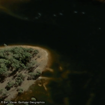
Know where you can legally fish on Lake King William
See public and private land boundaries along the water, turn on private parcels with owner details to know where permission is required, and find land-trust parcels that offer permitted fishing access.
Tasmania licenses and regulations

Tasmania Boating Regulations
Official Marine and Safety Tasmania (MAST) Safe Boating Handbook, covering Tasmania's boating rules, required safety equipment by vessel size and operational area, and navigation rules.

Tasmania Fishing License
Official Inland Fisheries Service (IFS) page for Tasmania's inland angling licence. A current angling licence is required to fish freshwater (rod, reel or line), including farm dams; buy online, by phone, or through Service Tasmania.

Tasmania Fishing Regulations
Official IFS hub for Tasmania's inland (freshwater) fishing rules, linking season dates and times, bag and size limits, and allowed angling methods, which can vary water to water across the state's trout lakes and rivers.

Tasmania Stream Access Laws
Tasmania has no standalone stream-access statute page; this is the closest official source - the IFS Anglers Access Program, explaining that an angling licence does not grant the right to cross private property and that signposted access points are established with landowners.
Take Lake King William with you
The onWater Fish app keeps this water's access points, species and conditions in your pocket, with the tools you use once you're there.
Use the map without signal
Download the map around Lake King William to use it offline when coverage drops.
Log your catches here
Keep a private fishing journal for Lake King William to find where and when fish are biting for you.
HD depth charts from Garmin
Find drop offs, ledges, channels, points and shallow flats with Garmin depth charts in the app.
Get the onWater Fish app
Free on iOS and Android
Water and weather conditions (10 day forecast)
See the best times to fish Lake King William and check the forecast before you go.
King William Lake - At Dam
All Flow Stations
Fishing near Lake King William
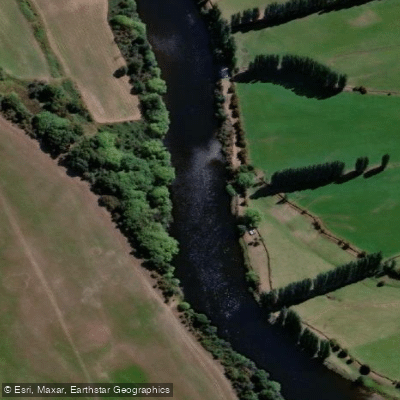
River Derwent
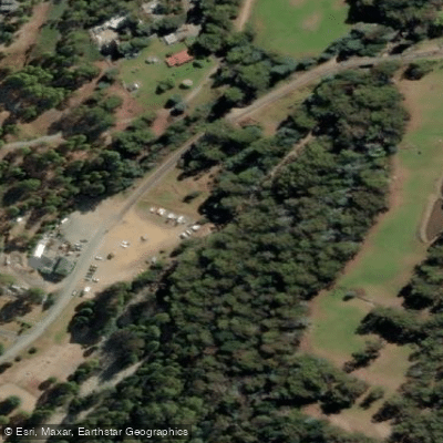
North West Bay River
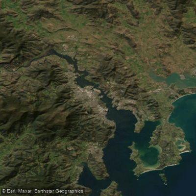
Derwent River
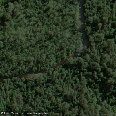
Styx River
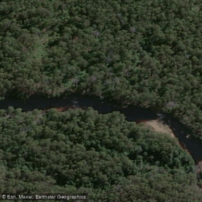
Huon River
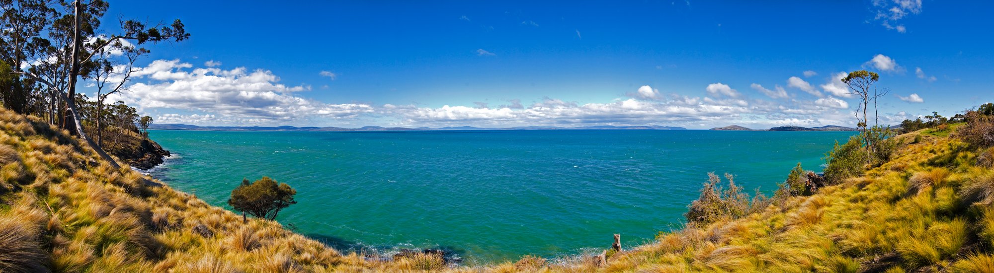
Frederick Henry Bay
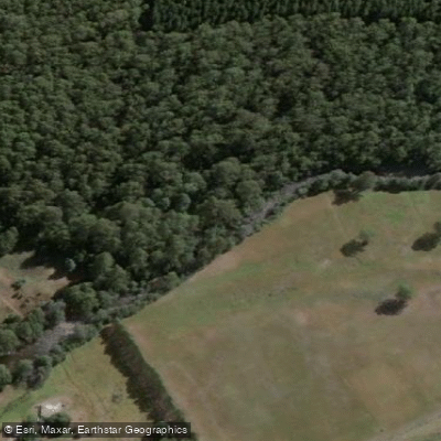
Tyenna River
Browns River
D'Entrecasteaux Channel
River Clyde
Explore Tasmania waters
Top fishing waters
No waters available right now.
Popular Cities
Loading popular cities...
Explore near Lake King William
Fish species
Nearby waters
More in Tasmania

Smarter Fishing Starts in the App.
onWater Fish gives you everything you need to plan smarter, fish better, and own every trip from first cast to last.