Fishing in Marramarra National Park
- National Park
- Lakes
- 0
- Rivers
- 10
- Access
- 0
- Boat Ramps
- 0
- Shops
- 0
- Species
- 15
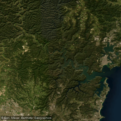
Marramarra National Park sits on the southern bank of the Hawkesbury River, roughly 40 kilometres north of Sydney's CBD.
The park runs from the Hawkesbury's edge south through sandstone ridges and creek valleys to the Old Northern Road, with Berowra Creek forming its eastern boundary.
The water here is tidal estuarine creek country — mangrove-fringed, sheltered, and largely accessible only by paddle or on foot. The name itself is a clue: Marramarra is believed to derive from an Aboriginal word meaning "many fish."
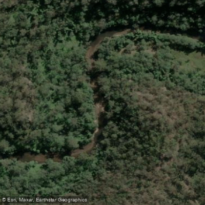
Marramarra Creek is the park's main waterway and the one most anglers will spend time on. It rises outside the park near Dural and flows down to meet Berowra Creek, passing through the campground that bears its name.
Paddling in by canoe or kayak is the practical way to reach the better stretches — the campground sits on the Hawkesbury shore and gives access to both the creek and the river itself.
The Hawkesbury's tidal influence reaches well into the creek system, which shapes what you'll find and when.
Coba Creek, Fiddletown Creek, Layburys Creek, and Pumpkin Point Creek are among the smaller tributaries draining into Marramarra Creek and the broader system.
These are tight, shaded waterways — the kind of country where you're working close to structure rather than casting distance. Access to most of the park's water is genuinely remote by Sydney standards.
There are no boat ramps inside the park, and the road network doesn't reach the creek systems. The Marramarra Creek campground is boat-access only. Gentlemans Halt campground, also on the Hawkesbury, is similarly reached by water.
Plan your trip around tides and carry everything in. NSW fishing regulations apply throughout the park.
Check with NSW National Parks and Wildlife Service for any conditions specific to the park before you go — rules can change, and fishing in a protected area carries real responsibility.
The fish were here long before the anglers, and the park exists partly to keep it that way.
Top waters to fish near Marramarra National Park
Species & education
Learn what type of fish are in Marramarra National Park and what's needed to catch them.

Find which waters have the species you want to catch

Australian Bass
Macquaria novemaculeata

Australian Salmon
Arripis trutta

Cobia
Rachycentron canadum

Dusky Flathead
Platycephalus fuscus

Eastern Blue Groper
Achoerodus viridis

Gummy Shark
Mustelus antarcticus

Luderick
Girella tricuspidata

Mulloway
Argyrosomus japonicus

Samson Fish
Seriola hippos

Sand Whiting
Sillago ciliata

School Shark
Galeorhinus galeus

Snapper
Pagrus auratus

Tailor
Pomatomus saltatrix

Tarwhine
Rhabdosargus sarba

Yellowfin Bream
Acanthopagrus australis
Water and weather conditions (10 day forecast)
See the best times to fish Marramarra National Park and check the forecast before you go.
No forecast data available.
Fish smarter with real-time insights
Whether you're en route and conditions shift or you're looking for the best spot based on current flows, we enable you to make informed decisions on the fly.




Fishing near Marramarra National Park
Loading...
Gateway towns
Where to base yourself for fishing in Marramarra National Park.
- HornsbyNSW
Closest suburb to the park's southern access roads, serving as the main jumping-off point for drives into the park via Galston Road.
- CanoelandsNSW
Small community at the northern end of the park, giving direct access to the Canoelands Ridge trails and the Hawkesbury River.
- BerowraNSW
Sits near the park's eastern boundary along Berowra Creek, used by paddlers and bushwalkers entering from that side.
Explore Marramarra National Park
Top fishing waters
Popular Cities
Loading popular cities...

Smarter Fishing Starts in the App.
onWater Fish gives you everything you need to plan smarter, fish better, and own every trip from first cast to last.