Pumpkin Point Creek
Pumpkin Point Creek
- Boat Ramps
- 0
- Access Points
- 0
- Species
- 0
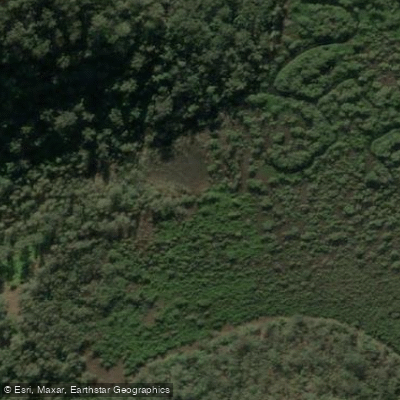
Pumpkin Point Creek is a tidal estuary creek located within the Hawkesbury River system in New South Wales. It originates at Canoelands Ridge and flows eastward before entering the Hawkesbury River at Pumpkin Point, situated between Big Jims Point and Bar Point on the opposite side of the river. The creek's shape is notably distinct, described as resembling a huge, elongated basin. As a tributary of a major coastal river system, its fishing characteristics are heavily influenced by tidal movements and estuarine ecology.
Species & education
Learn what type of fish are at Pumpkin Point Creek and what's needed to catch them.
No species information available.
Fishing spots, boat ramps & amenities
Learn how to get on Pumpkin Point Creek. Uncover great fishing access points, boat ramps, and all the facilities you need for an unforgettable day on the water. Some locations shown may border or include private property. Always check property boundaries and applicable regulations before visiting. onWater's Public & Private Land layer can help you plan your access with confidence.
The area directly referred to as "Pumpkin Point," where the creek meets the Hawkesbury River, is a recognized hot spot. The key feature here is the abundance of submerged timber. Trolling lures along the edges and through the gaps in this timber is the standard productive technique.
Know where you can legally fish on Pumpkin Point Creek
See public and private land boundaries along the water, turn on private parcels with owner details to know where permission is required, and find land-trust parcels that offer permitted fishing access.
New South Wales licenses and regulations

New South Wales Boating Regulations
Official Transport for NSW (NSW Maritime) hub for safety and rules on NSW waterways, including the Boating Handbook, lifejacket and safety-equipment requirements, and navigation and speed rules.

New South Wales Fishing License
Official Service NSW page for the NSW recreational fishing fee/licence. Anyone fishing NSW waters (fresh or salt) must pay the recreational fishing fee and carry the receipt unless exempt. See the page for current fees and exemptions.

New South Wales Fishing Regulations
Official NSW DPIRD Fisheries hub for recreational fishing rules, covering saltwater and freshwater bag and size limits, possession limits, gear rules and closures.

New South Wales Stream Access Laws
Official NSW DPIRD Fisheries Angler Access page - NSW's closest equivalent to a stream-access page. Explains the public right to fish tidal waters, legal stream access via public land, and that crossing private land needs the owner's permission.
Take Pumpkin Point Creek with you
The onWater Fish app keeps this water's access points, species and conditions in your pocket, with the tools you use once you're there.
Use the map without signal
Download the map around Pumpkin Point Creek to use it offline when coverage drops.
Log your catches here
Keep a private fishing journal for Pumpkin Point Creek to find where and when fish are biting for you.
Get the onWater Fish app
Free on iOS and Android
Water and weather conditions (10 day forecast)
See the best times to fish Pumpkin Point Creek and check the forecast before you go.
No forecast data available.
Fishing near Pumpkin Point Creek

Ourimbah Creek
Mooney Mooney Creek
Tuggerah Lakes
Wyong River
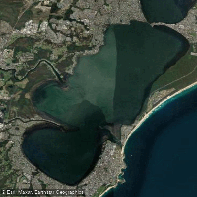
Tuggerah
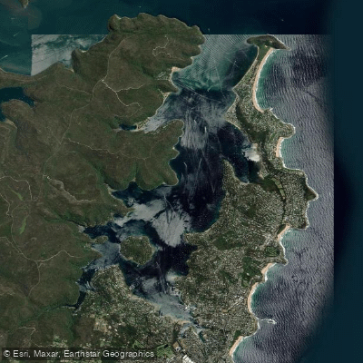
Pittwater
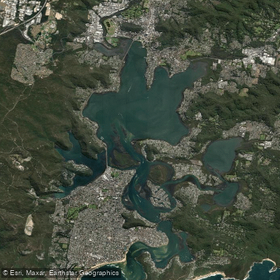
Brisbane Water
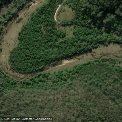
Mangrove Creek
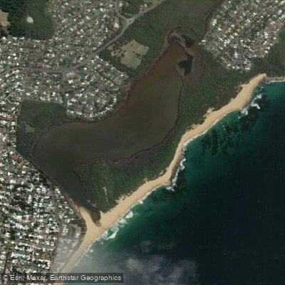
Wamberal Lagoon
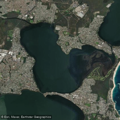
Budgewoi Lake
Explore New South Wales waters
Top fishing waters
No waters available right now.
Popular Cities
Loading popular cities...
Explore near Pumpkin Point Creek

Smarter Fishing Starts in the App.
onWater Fish gives you everything you need to plan smarter, fish better, and own every trip from first cast to last.