Fishing in Croajingolong National Park
- National Park
- Lakes
- 7
- Rivers
- 21
- Access
- 0
- Boat Ramps
- 0
- Shops
- 0
- Species
- 15
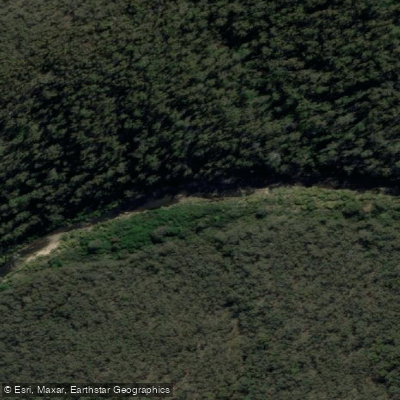
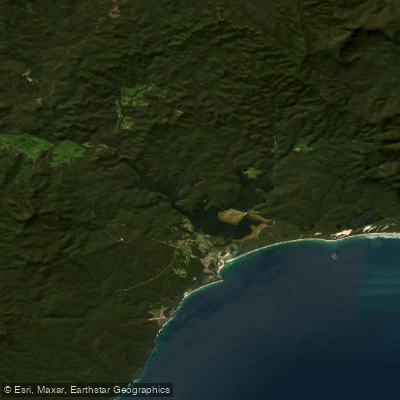
Croajingolong stretches along the far eastern edge of Victoria's coastline for roughly 100 kilometres, taking in a string of coastal inlets, tidal rivers, and estuaries backed by eucalypt forest and heathland.
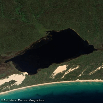
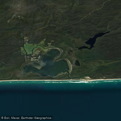
The fishing here is almost entirely estuary and inlet work — sheltered water bodies where tidal influence, bream, and patience tend to go together. Wingan Inlet is the water most anglers come back to.
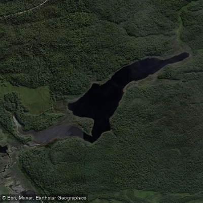
Black bream school up through the lake system between December and May, and the inlet's relative remoteness keeps pressure low. Access requires a 4WD, and the campground at Wingan puts you right on the water.
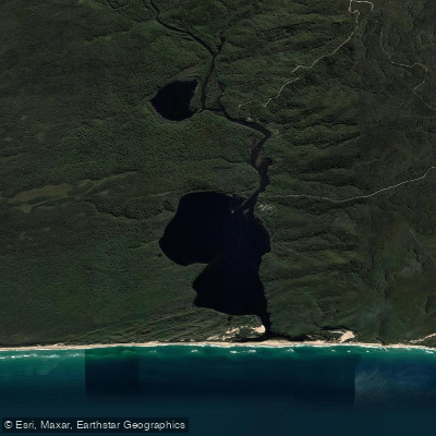
Thurra River is another focal point, with camping nearby and the same estuary species mix.
The broader park holds estuary perch, sea mullet, luderick, trevally, and yellowfin bream across its tidal systems, along with common galaxias and long-finned eels further into the freshwater reaches.
Surf beaches within the park hold Australian salmon and tailor, along with sharks and rays. Boat ramps serving the park's waters are at Bemm River, Tamboon Inlet, Karbeethong, Mallacoota, and Gipsy Point — worth knowing before you load the tinnie.
The Genoa River and Bemm River are both accessible from those ramp points and fish the same estuary species. Fishing here sits inside a UNESCO World Biosphere Reserve, which shapes how you move through it.
Standard Victorian recreational fishing rules apply; check with Parks Victoria for any conditions specific to individual waters before you go, as rules can vary by location within the park.
The park rewards anglers who treat the access as part of the deal — long drives on dirt, tides that matter, and water that hasn't been hammered. That's the trade-off, and most people who make it once come back.
Species & education
Learn what type of fish are in Croajingolong National Park and what's needed to catch them.

Find which waters have the species you want to catch

Australian Bass
Macquaria novemaculeata

Australian Grayling
Prototroctes maraena

Australian Longfin Eel
Anguilla reinhardtii

Australian Smelt
Retropinna semoni

Climbing Galaxias
Galaxias brevipinnis

Flathead Grey Mullet
Mugil cephalus

Puye
Galaxias maculatus

Rainbow Trout
Oncorhynchus mykiss

Roundsnout Galaxias
Galaxias terenasus

Short-finned Eel
Anguilla australis

Australian Salmon
Arripis trutta

Black Bream
Acanthopagrus butcheri

Dusky Flathead
Platycephalus fuscus

Eastern Blue Groper
Achoerodus viridis

King George Whiting
Sillaginodes punctatus
Water and weather conditions (10 day forecast)
See the best times to fish Croajingolong National Park and check the forecast before you go.
No forecast data available.
Fish smarter with real-time insights
Whether you're en route and conditions shift or you're looking for the best spot based on current flows, we enable you to make informed decisions on the fly.




Fishing near Croajingolong National Park
Loading...
Gateway towns
Where to base yourself for fishing in Croajingolong National Park.
- MallacootaVictoria
The main base town on the park's eastern edge, with lodging, boat launches, and access to Mallacoota Inlet for kayaking and fishing.
- Cann RiverVictoria
The main highway access point on the park's western side, serving as the primary entry town for visitors arriving via the Princes Highway.
- Bemm RiverVictoria
A small settlement on the park's western boundary with a boat launch ramp and access to the park's coastal inlets.
- Gipsy PointVictoria
A quiet hamlet near the park with a boat launch ramp and lodge accommodation, used as a base for exploring the inlets.
Explore Croajingolong National Park
Top fishing waters
Popular Cities
Loading popular cities...

Smarter Fishing Starts in the App.
onWater Fish gives you everything you need to plan smarter, fish better, and own every trip from first cast to last.