Fishing in Brisbane Water National Park
- National Park
- Lakes
- 5
- Rivers
- 20
- Access
- 0
- Boat Ramps
- 0
- Shops
- 0
- Species
- 15
Brisbane Water National Park sits on the NSW Central Coast, roughly an hour north of Sydney, where sandstone ridges and creek valleys drain into a large tidal estuary.
The park wraps around that estuary — Brisbane Water itself — and its tributary creeks, giving anglers a mix of sheltered inshore water, mangrove-lined channels, and freshwater reaches running through rugged bush.
Brisbane Water is the main body of water here: a broad coastal inlet connected to Broken Bay, and the kind of estuary where dusky flathead, bream, and snapper show up regularly.
The water is tidal and navigable by boat, with kayaks well suited to the shallower bays and creek mouths that fringe the park.
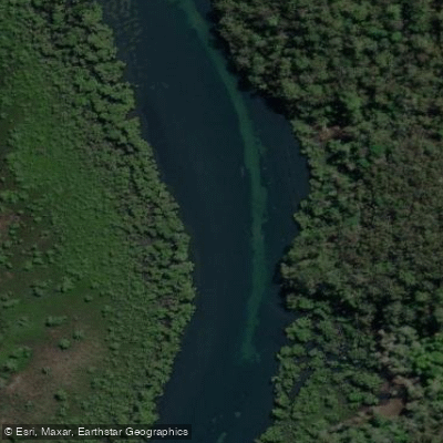
Patonga Creek, which meets the water near the small town of Patonga on the park's eastern edge, is accessible by boat and on foot — Patonga itself is a practical staging point, with the Great North Walk passing through.
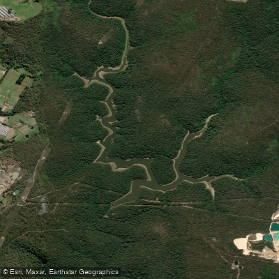
Mooney Mooney Creek drains the southern section of the park and runs through steep sandstone country before reaching Broken Bay. Access is more limited here than on the main estuary, and the terrain reflects the rugged character of the park's interior.
The other named creeks — Woy Woy Creek, Piles Creek, Tank Creek, and the smaller tributaries — are tidal or near-tidal in their lower reaches, the kind of water worth working slowly with light gear.
Kayaks are the practical choice for getting into the tighter creek mouths. NSW recreational fishing rules apply throughout the park.
Check current conditions and any park-specific requirements with NSW National Parks before you go — rules can change, and the park sits within a landscape that takes its conservation obligations seriously.
That's not a bureaucratic footnote; it's the reason the water here still fishes the way it does.
Top waters to fish near Brisbane Water National Park
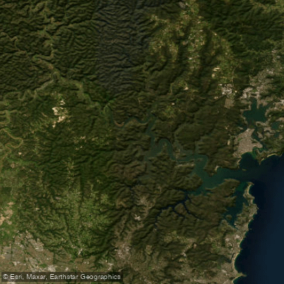
Hawkesbury River
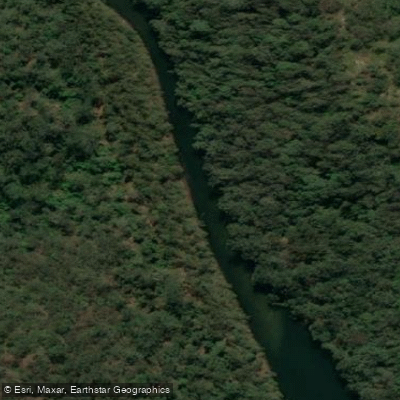
Mooney Mooney Creek
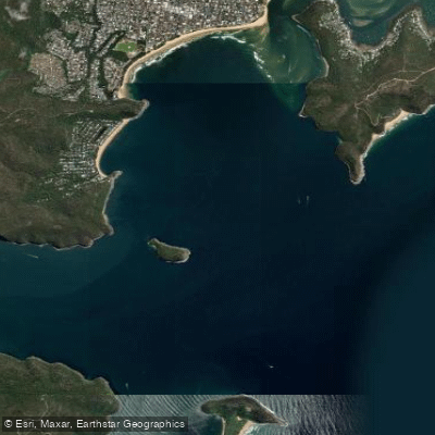
Broken
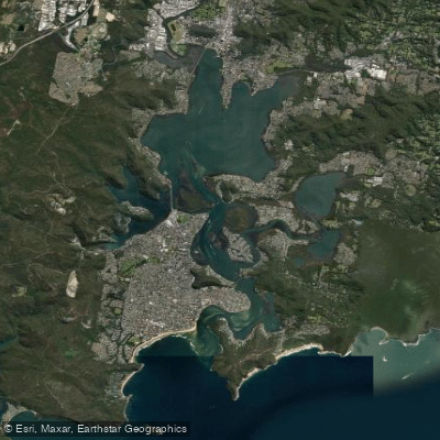
Brisbane Water
Patonga Creek
Mooney Mooney Dam
Piles Creek
Pearl Beach
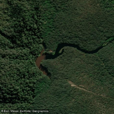
Lower Mooney Mooney Creek Dam
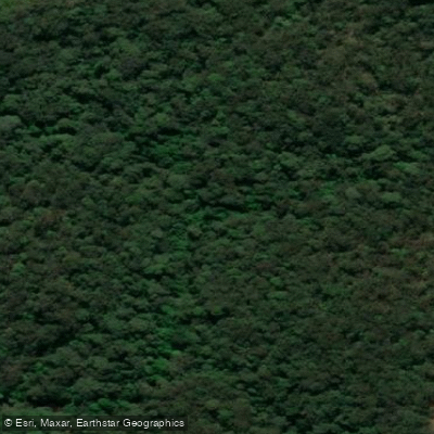
Little Mooney Mooney Creek
Species & education
Learn what type of fish are in Brisbane Water National Park and what's needed to catch them.

Find which waters have the species you want to catch

Australian Bass
Macquaria novemaculeata

Australian Salmon
Arripis trutta

Cobia
Rachycentron canadum

Dusky Flathead
Platycephalus fuscus

Eastern Blue Groper
Achoerodus viridis

Gummy Shark
Mustelus antarcticus

Luderick
Girella tricuspidata

Mulloway
Argyrosomus japonicus

Samson Fish
Seriola hippos

Sand Whiting
Sillago ciliata

School Shark
Galeorhinus galeus

Snapper
Pagrus auratus

Tailor
Pomatomus saltatrix

Tarwhine
Rhabdosargus sarba

Yellowfin Bream
Acanthopagrus australis
Water and weather conditions (10 day forecast)
See the best times to fish Brisbane Water National Park and check the forecast before you go.
No forecast data available.
Fish smarter with real-time insights
Whether you're en route and conditions shift or you're looking for the best spot based on current flows, we enable you to make informed decisions on the fly.




Fishing near Brisbane Water National Park
Loading...
Gateway towns
Where to base yourself for fishing in Brisbane Water National Park.
- GosfordNSW
The main service hub nearest the park, with accommodation, supplies, and access to the Kariong entrance area.
- Woy WoyNSW
Closest town to the park's eastern edge, listed as the nearest town, with train access for walkers heading into the park.
- Umina BeachNSW
Coastal town on the park's southern fringe where visitors can stock up on food and supplies before entering the park.
- PatongaNSW
Small waterfront village inside the park boundary, a stop-off point for the Great North Walk and access by ferry or road.
Explore Brisbane Water National Park
Top fishing waters
Popular Cities
Loading popular cities...

Smarter Fishing Starts in the App.
onWater Fish gives you everything you need to plan smarter, fish better, and own every trip from first cast to last.