Brisbane Water
- Saltwater
- Estuary
Brisbane Water
- Saltwater
- Estuary
- Sq. miles
- 15
- Boat Ramps
- 3
- Access Points
- 0
- Species
- 11
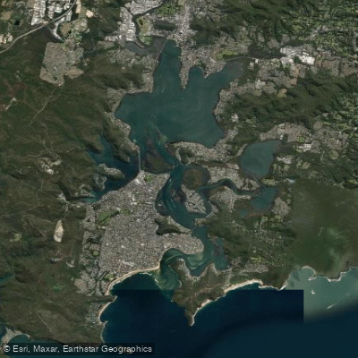
Brisbane Water is a wave-dominated barrier estuary forming a significant tidal waterway on the Central Coast of New South Wales. It originates at the confluence of Narara and Coorumbine Creeks near Gosford and flows approximately 18 kilometers south to its mouth at Broken Bay, which opens to the Tasman Sea. The estuary encompasses a total catchment area of about 165 square kilometers and features a complex shoreline with numerous bays, inlets, and islands, including St Huberts Island and Pelican Island. It is bordered by suburbs and towns such as Gosford, Woy Woy, Davistown, Ettalong Beach, and Saratoga, with Brisbane Water National Park and Bouddi National Park adjoining its western and eastern shores, respectively. The estuary is characterized by scenic value, pristine vegetation in areas, and extensive mangrove systems, particularly around Woy Woy and Davistown. It is a premier destination for a variety of water-based activities, with fishing being a major draw due to its productive and diverse marine environment.
Species & education
Learn what type of fish are at Brisbane Water and what's needed to catch them.

Find which waters have the species you want to catch

Dusky Flathead
Platycephalus fuscus

Eastern Blue Groper
Achoerodus viridis

Luderick
Girella tricuspidata

Mahi Mahi
Coryphaena hippurus

Sand Whiting
Sillago ciliata

Silver Trevally
Pseudocaranx dentex

Tailor
Pomatomus saltatrix

Tarwhine
Rhabdosargus sarba

Yellowfin Bream
Acanthopagrus australis

Yellowtail Kingfish
Seriola lalandi

Yellowtail Scad
Trachurus novaezelandiae
Fishing spots, boat ramps & amenities
Learn how to get on Brisbane Water. Uncover great fishing access points, boat ramps, and all the facilities you need for an unforgettable day on the water. Some locations shown may border or include private property. Always check property boundaries and applicable regulations before visiting. onWater's Public & Private Land layer can help you plan your access with confidence.
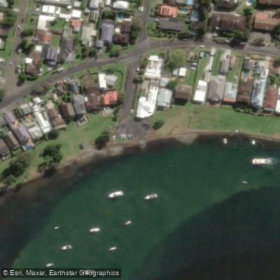
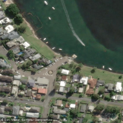
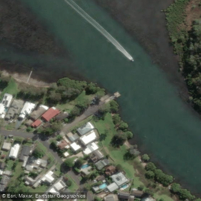
Know where you can legally fish on Brisbane Water
See public and private land boundaries along the water, turn on private parcels with owner details to know where permission is required, and find land-trust parcels that offer permitted fishing access.
New South Wales licenses and regulations

New South Wales Boating Regulations
Official Transport for NSW (NSW Maritime) hub for safety and rules on NSW waterways, including the Boating Handbook, lifejacket and safety-equipment requirements, and navigation and speed rules.

New South Wales Fishing License
Official Service NSW page for the NSW recreational fishing fee/licence. Anyone fishing NSW waters (fresh or salt) must pay the recreational fishing fee and carry the receipt unless exempt. See the page for current fees and exemptions.

New South Wales Fishing Regulations
Official NSW DPIRD Fisheries hub for recreational fishing rules, covering saltwater and freshwater bag and size limits, possession limits, gear rules and closures.

New South Wales Stream Access Laws
Official NSW DPIRD Fisheries Angler Access page - NSW's closest equivalent to a stream-access page. Explains the public right to fish tidal waters, legal stream access via public land, and that crossing private land needs the owner's permission.
Take Brisbane Water with you
The onWater Fish app keeps this water's access points, species and conditions in your pocket, with the tools you use once you're there.
Use the map without signal
Download the map around Brisbane Water to use it offline when coverage drops.
Log your catches here
Keep a private fishing journal for Brisbane Water to find where and when fish are biting for you.
Get the onWater Fish app
Free on iOS and Android
Tides, wind & water conditions (10 day forecast)
On open water, wind and tide matter as much as the weather. See the best times to fish Brisbane Water and check the marine forecast before you launch.
Loading tide predictions…
Fishing near Brisbane Water
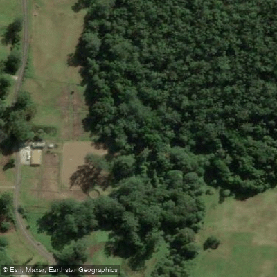
Ourimbah Creek
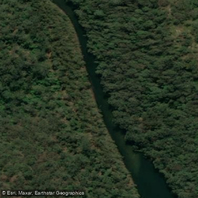
Mooney Mooney Creek
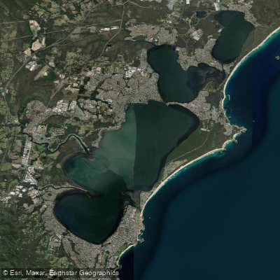
Tuggerah Lakes
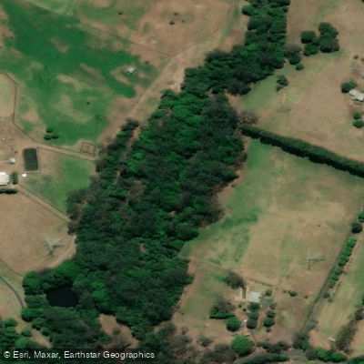
Wyong River
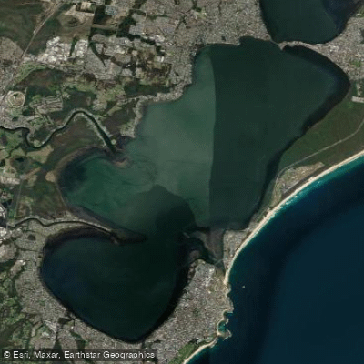
Tuggerah
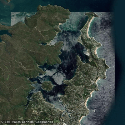
Pittwater
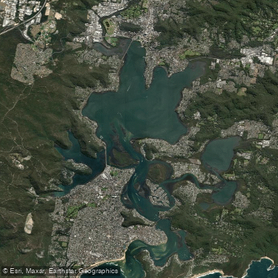
Brisbane Water
Mangrove Creek
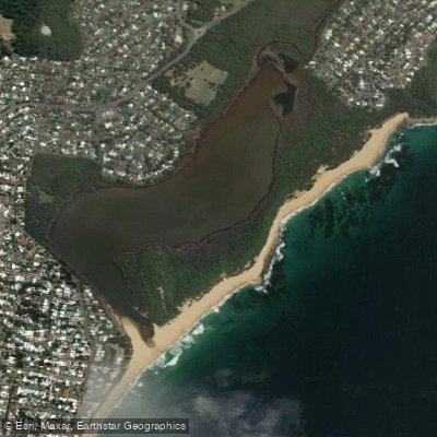
Wamberal Lagoon
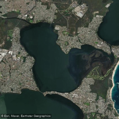
Budgewoi Lake
Explore New South Wales waters
Top fishing waters
No waters available right now.
Popular Cities
Loading popular cities...
Explore near Brisbane Water
Fish species
Nearby waters
More in New South Wales

Smarter Fishing Starts in the App.
onWater Fish gives you everything you need to plan smarter, fish better, and own every trip from first cast to last.