Embalse Potrero de los Funes
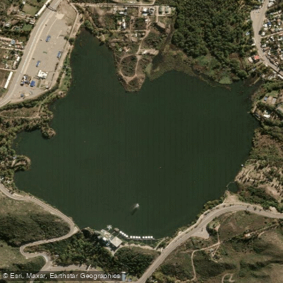
Embalse Potrero de los Funes
- Boat Ramps
- 0
- Access Points
- 0
- Species
- 1
Embalse Potrero de los Funes is a scenic mountain reservoir nestled in the Sierra de San Luis Valley, approximately 18 km (11 mi) northeast of the provincial capital of San Luis, Argentina. Sitting at an elevation of 1,210 meters (3,970 ft) above sea level, this historic body of water holds a special place in South American history as one of the continent's oldest artificial reservoirs, with the original dam dating back to 1860. Fed primarily by the Los Molles and La Bolsa streams, the reservoir drains through the Potrero River and covers a surface area of 360 hectares (890 acres) with an impressive average depth of 33 meters (108 ft). The surrounding landscape is defined by granite canyon walls, mountain ranges, gorges, waterfalls, and dense forest — creating a striking backdrop that draws visitors year-round. The reservoir sits at the heart of the town of Potrero de los Funes and is encircled by the internationally recognized Potrero de los Funes Circuit, a 6.25 km motorsport track that adds a unique character to this mountain fishing destination.
Species & education
Learn what type of fish are at Embalse Potrero de los Funes and what's needed to catch them.

Find which waters have the species you want to catch

Common Carp
Cyprinus carpio
Fishing spots, boat ramps & amenities
Learn how to get on Embalse Potrero de los Funes. Uncover great fishing access points, boat ramps, and all the facilities you need for an unforgettable day on the water. Some locations shown may border or include private property. Always check property boundaries and applicable regulations before visiting. onWater's Public & Private Land layer can help you plan your access with confidence.
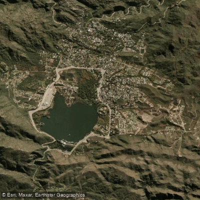
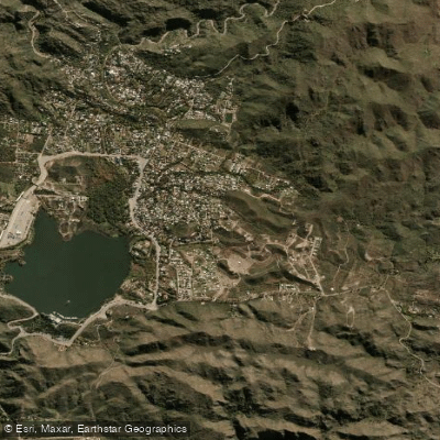
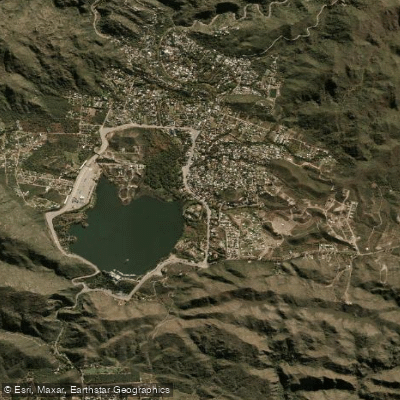
Know where you can legally fish on Embalse Potrero de los Funes
See public and private land boundaries along the water, turn on private parcels with owner details to know where permission is required, and find land-trust parcels that offer permitted fishing access.
San Luis licenses and regulations

San Luis Boating Regulations
Boating in Argentina is regulated nationally by the Prefectura Naval Argentina, not by the province - covering recreational-vessel registration, the boat-operator licence (habilitacion nautica), and navigation safety.

San Luis Fishing License
Official online permit portal of the San Luis Secretaria de Ambiente, where anglers buy the mandatory provincial fishing permit (daily or annual).

San Luis Fishing Regulations
Official Secretaria de Ambiente page with the provincial fishing calendar (reglamento): open seasons, bag and size limits, permitted methods, and closed/protected reservoirs.

San Luis Stream Access Laws
No distinct stream-access statute page; access rules are embedded in the provincial fishing framework. This Secretaria de Ambiente fishing-activity page is the closest official source.
Take Embalse Potrero de los Funes with you
The onWater Fish app keeps this water's access points, species and conditions in your pocket, with the tools you use once you're there.
Use the map without signal
Download the map around Embalse Potrero de los Funes to use it offline when coverage drops.
Log your catches here
Keep a private fishing journal for Embalse Potrero de los Funes to find where and when fish are biting for you.
HD depth charts from Garmin
Find drop offs, ledges, channels, points and shallow flats with Garmin depth charts in the app.
Get the onWater Fish app
Free on iOS and Android
Water and weather conditions (10 day forecast)
See the best times to fish Embalse Potrero de los Funes and check the forecast before you go.
No forecast data available.
Fishing near Embalse Potrero de los Funes
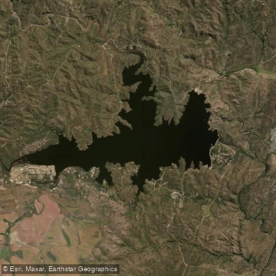
Embalse La Florida
Río Nogolí
Río Quinto
Río Virorco
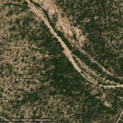
Río de los Araditos
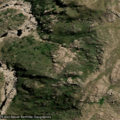
Río Claro
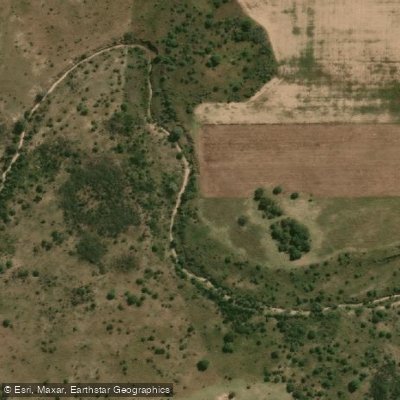
Río Zanjón
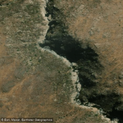
Río de Juan Gómez
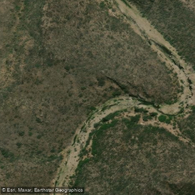
Río Socoscora
Explore San Luis waters
Top fishing waters
No waters available right now.
Popular Cities
Loading popular cities...
Explore near Embalse Potrero de los Funes
Fish species
Fishing spots
Nearby waters
More in San Luis

Smarter Fishing Starts in the App.
onWater Fish gives you everything you need to plan smarter, fish better, and own every trip from first cast to last.